Flagler County Map, Florida

Flagler County Map Collection


We allow you to use our Flagler County map. Attribution is required.
Flagler County, Florida

Flagler County stretches along Florida’s northeast coast. Flagler’s growing fast, but still has a laid-back vibe. It’s a section of coastal living without the heavy tourism of other Florida spots.
The county has a mix of retirees and young families. Palm Coast is the main city, which sprung up from a planned community. Marineland, an old-school attraction, still brings in curious visitors.
The beaches here are less crowded than their southern neighbors. A1A scenic highway runs right along the shore. Fishing’s popular, both in the Intracoastal and the ocean. You’ll find some nice hiking trails in the western part of the county.
| Category | Details |
|---|---|
| County Name | Flagler County |
| County Seat | Bunnell |
| Population | Approximately 125,000 |
| Cities, Towns, and Communities | Palm Coast, Flagler Beach, Bunnell, Espanola, Beverly Beach, Marineland |
| Interstates and Highways | I-95, U.S. 1, SR 100 |
| FIPS Code | 12-035 |
| Total Area (Land and Water) | 572 square miles (land: 485 sq mi, water: 87 sq mi) |
| Adjacent Counties (and Direction) | St. Johns County (North), Volusia County (South), Putnam County (West) |
| Time Zone | Eastern Time Zone (ET) |
| State | Florida |
| Coordinates | 29.4574° N, 81.5594° W |
| Etymology | Named after Henry Flagler, a key figure in the development of Florida’s East Coast |
| Major Landmarks | Flagler Beach, Bulow Creek State Park, Washington Oaks Gardens State Park, Princess Place Preserve |
| Website | Flagler County Website |
PHYSICAL MAP
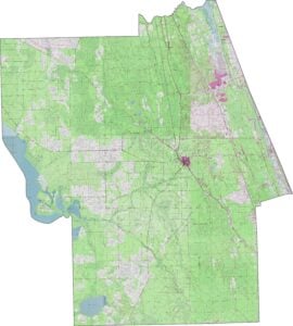
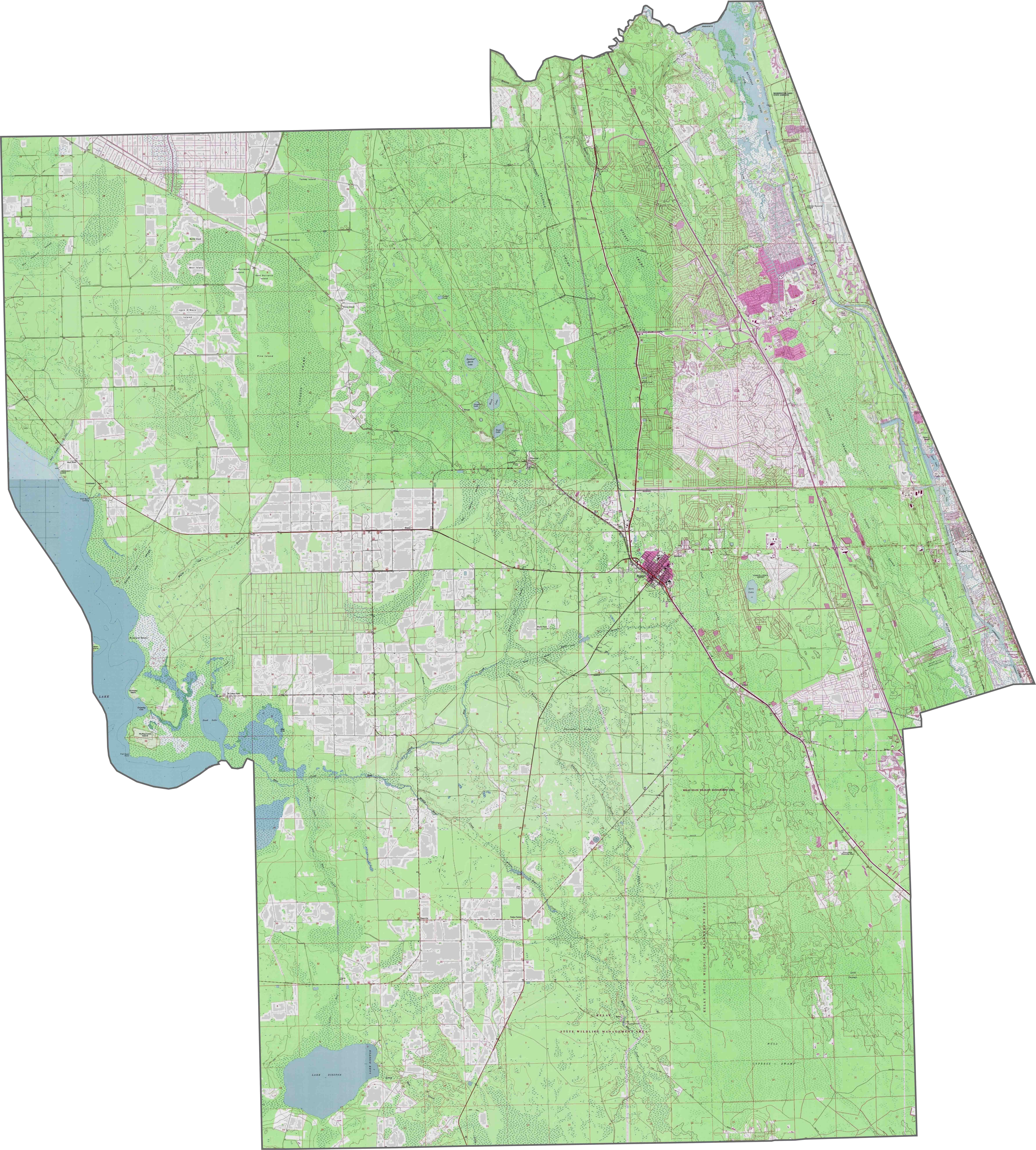
Flagler County Topographic Map
Flagler County stands out on our topographic map with its Atlantic coastline, Intracoastal Waterway, and urban areas. Palm Coast’s planned community grid is clearly visible. Our zoom tool highlights Bulow Creek State Park and elevation contours.
SATELLITE IMAGERY
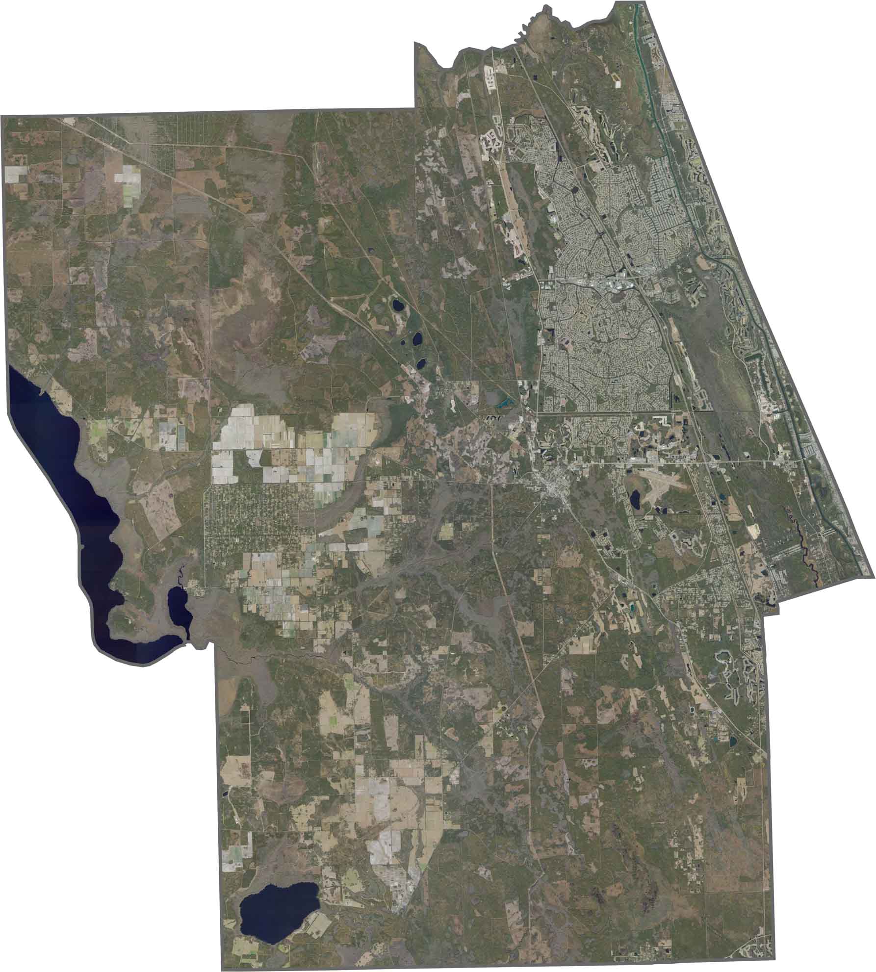
Flagler County Satellite Map
Our satellite map reveals the coastal marshes and inland flatwoods of Flagler County. Palm Coast spreads along the coast as the largest city. The Matanzas River widens into a broad estuary near the southern border.
OUTLINE MAP
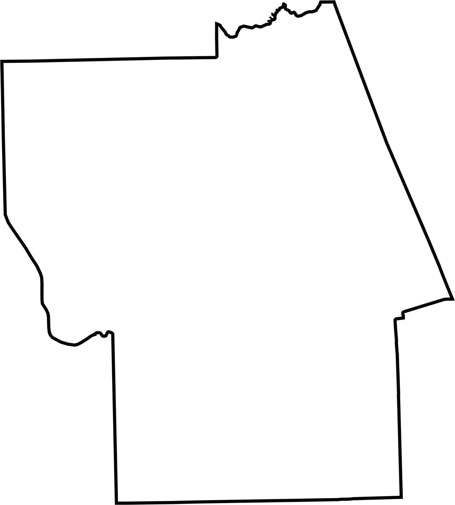
Flagler County Blank Map
Our outline map shows Flagler County’s rectangular shape in the south. The Atlantic Ocean forms the eastern border. But the western boundary follows a straight north-south line with Putnam County.
Neighboring Counties
Here are the 3 neighboring counties of Flagler County:


Florida County Map

Looking to find a county map of Florida? Our Florida county map breaks down its 67 counties. Get to know the Sunshine State with these topographic, satellite, and outline maps.