Connecticut County Map

Connecticut County Map Collection


We allow you to use our Connecticut County map. Attribution is required.
Connecticut County Maps
Connecticut’s county situation is a bit of a head-scratcher. They’ve got eight counties on paper, but here’s the kicker. They don’t actually do anything. It’s like having a car with no engine. Back in 1960, Connecticut axed their governments. Now they’re just geographic labels, for weathermen and lost tourists to use.


PHYSICAL MAP
Connecticut Topographic County Map
Our topographic map shows rolling hills, flatter coastal areas, and river valleys. It’s a compact state, but the elevation changes are easy to spot.

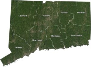
SATELLITE IMAGERY
Connecticut Satellite County Map
Connecticut really looks green from above. But it does have some urban areas. Our satellite map shows its dense forests, winding rivers, and well-spread out counties.

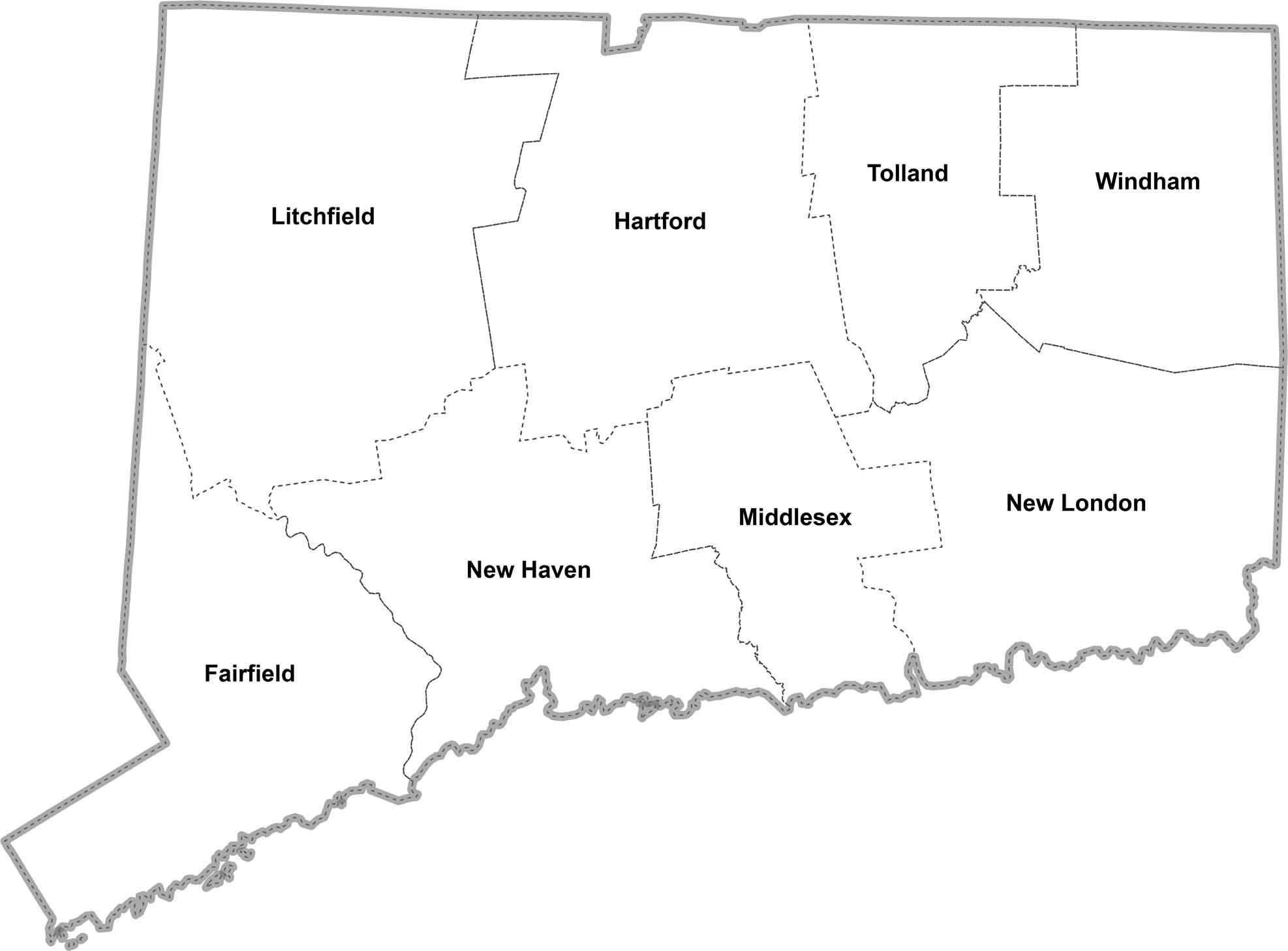
OUTLINE MAP
Connecticut Simple County Map
Here’s a straightforward map of Connecticut, broken down by county. Our simple map labels each one clearly for quick reference.
Connecticut Counties
Connecticut has a total of 8 counties. Yep, you heard right. There’s just 8 counties in the whole state. It’s the third-lowest number in the country, but don’t let that fool you. Even though you drive across the state in a couple hours, each county has a lot of variety.
Fairfield County has the highest population. It’s where New York City’s influence spills over into Connecticut, with hedge fund moguls rubbing elbows with blue-collar workers. Now, swing over to Windham County in the state’s “Quiet Corner.” It’s the least populous, where you’re more likely to spot a cow than a corporate executive.
Most Populous: Fairfield County
Least Populous: Windham County

Hartford County is the biggest in terms of area, but we’re not talking Texas-sized here. You could fit it into one of Colorado’s larger counties about 20 times over. Tiny Middlesex County, meanwhile, could almost fit inside Hartford County three times. But what it lacks in size, it makes up for with cute river towns and Yale’s forestry school.
Largest Area: Hartford County
Smallest Area: Middlesex County
As I mentioned before: Connecticut doesn’t actually have functioning county governments. Despite this, folks still argue about which county is better. It’s like picking your favorite imaginary friend. But hey, that’s Connecticut for you. It’s all about the towns here. It has 169 of ’em, each with its own fierce sense of identity.
From the ritzy Gold Coast to the rolling hills of Litchfield County, Connecticut’s counties each tell a part of the state’s story. You’ve got New Haven County with Yale and its famous pizza. Then, there’s New London County, keeping watch over the submarine capital of the world.
Connecticut County List
Here’s a complete list of Connecticut’s counties, with key statistics for each:
| FIPS Code | Name | Land % | Water % | Total Area (sq mi) |
|---|---|---|---|---|
| 09-001 | Fairfield County | 74.7 | 25.3 | 837.0 |
| 09-003 | Hartford County | 97.9 | 2.1 | 750.6 |
| 09-005 | Litchfield County | 97.5 | 2.5 | 944.6 |
| 09-007 | Middlesex County | 84.1 | 15.9 | 439.1 |
| 09-009 | New Haven County | 70.1 | 29.9 | 862.1 |
| 09-011 | New London County | 86.2 | 13.8 | 772.0 |
| 09-013 | Tolland County | 98.4 | 1.6 | 417.1 |
| 09-015 | Windham County | 98.4 | 1.6 | 521.2 |
Source: United States Census Bureau