Oakland County Map, Michigan

Oakland County Map Collection

We allow you to use our Oakland County map. Attribution is required.
Oakland County, Michigan

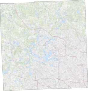
Michigan’s second-most populous county sits northwest of Detroit, spanning nearly 900 square miles. It’s home to cities like Royal Oak and Pontiac.
The area boasts over 1,400 lakes, perfect for fishing and boating. Locals love the diverse food scene and top-notch schools. From busy downtowns to serene parks, there’s something here for everyone.
Looking for a piece of history? You can explore sites dating back to the 1800s. Oakland County’s mix of innovation and tradition keeps drawing people in.
| Category | Details |
|---|---|
| County Name | Oakland County |
| County Seat | Pontiac |
| Population | Approximately 1,301,000 |
| Cities, Towns, and Communities | Troy, Farmington Hills, Rochester Hills, Southfield, Royal Oak, Novi, Pontiac, Auburn Hills, Oak Park, Ferndale, Berkley |
| Interstates and Highways | I-75, I-696, I-275, US 24, M-1, M-5, M-10, M-15, M-24, M-59 |
| FIPS Code | 26-125 |
| Total Area (Land and Water) | 908 square miles (Land: 868 sq mi, Water: 40 sq mi) |
| Adjacent Counties (and Direction) | Lapeer County (Northeast), Genesee County (Northwest), Macomb County (East), Wayne County (Southeast), Washtenaw County (Southwest), Livingston County (West) |
| Time Zone | Eastern Time Zone (ET) |
| State | Michigan |
| Coordinates | 42.6607° N, 83.3850° W |
| Etymology | Named after the oak openings found throughout the area |
| Major Landmarks | Detroit Zoo, Cranbrook Art Museum, The Henry Ford, Oakland University, DTE Energy Music Theatre |
| Website | Oakland County Website |
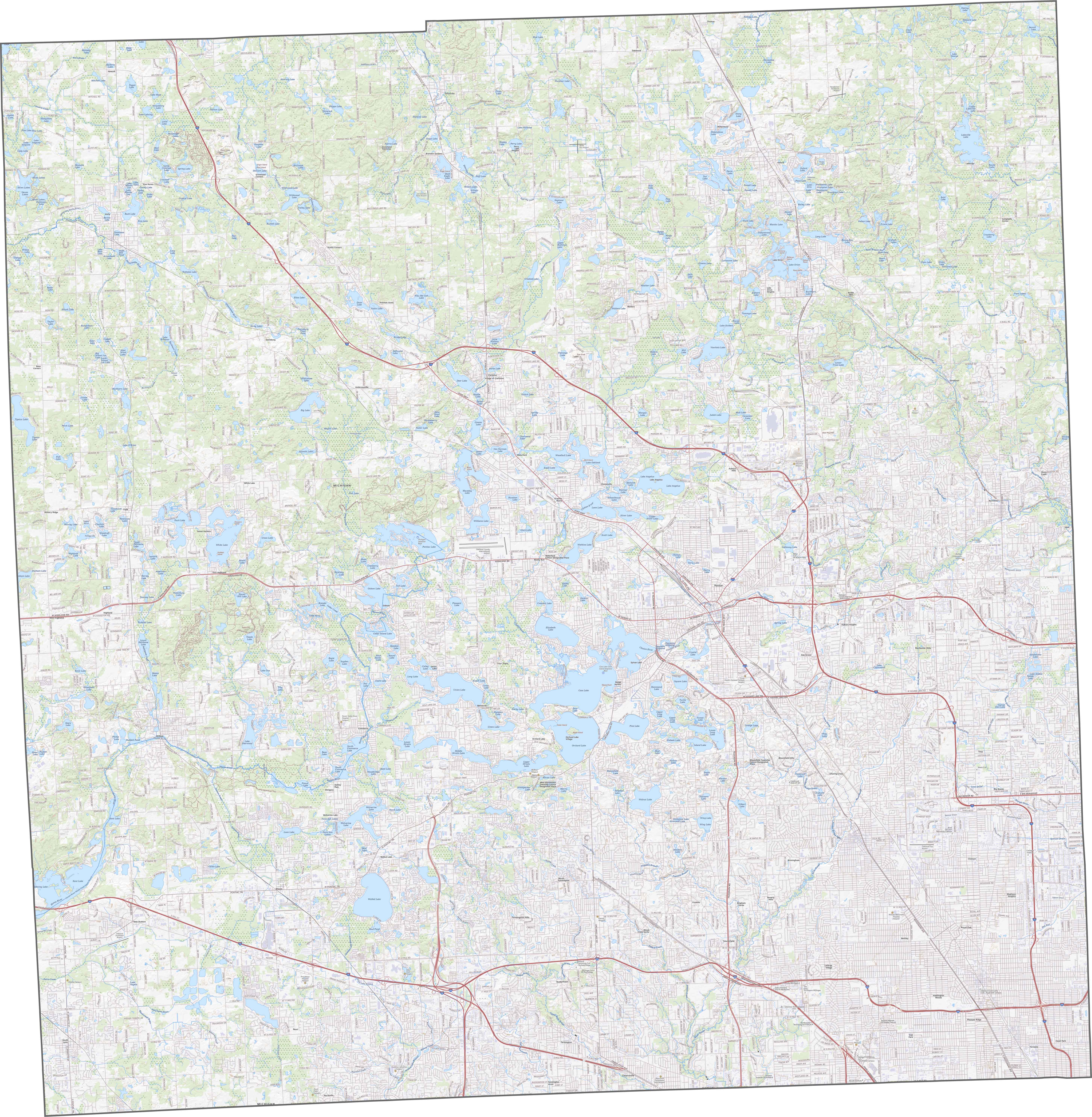
TRANSPORTATION MAP
Oakland County Road Map
Oakland County’s highways are plentiful. I-75 runs north to south through the middle, while I-696 slices across the south. There’s lots more than that and you can zoom in on them using our road map below.
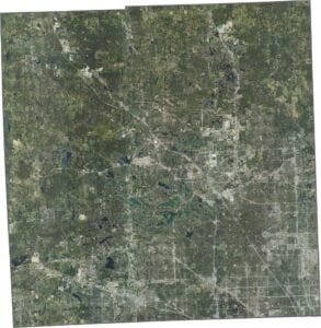
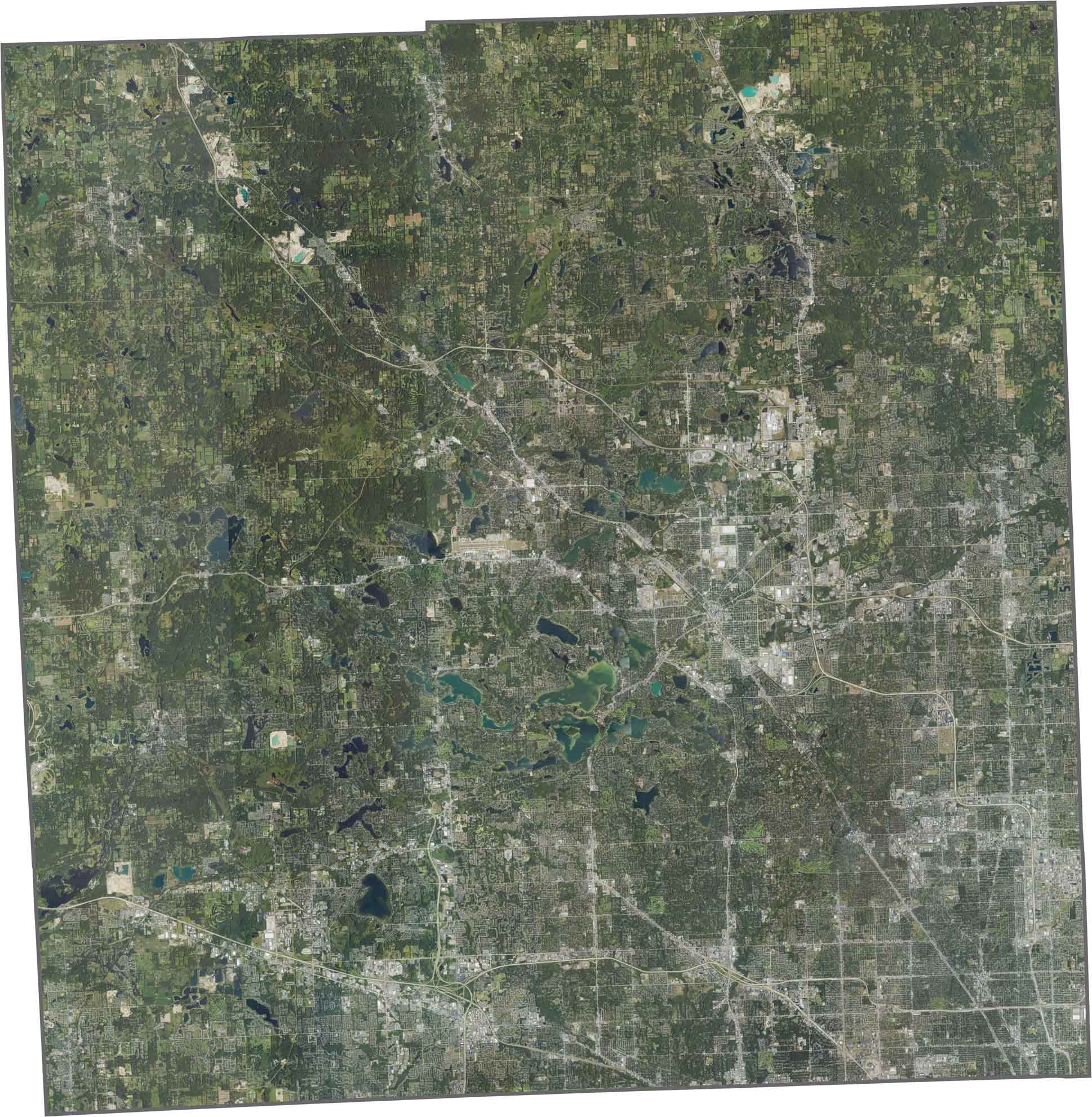
SATELLITE IMAGERY
Oakland County Satellite Map
Dense suburbs fill most of Oakland County. Though neighborhoods and cities sprawl wide, woods and lakes still break up the view. There are also surprisingly a lot of lakes here scattered across the land.
OUTLINE MAP
Oakland County Blank Map
Oakland County’s outline is jagged, and basically a square. No major rivers form its edges, and it doesn’t touch another state. Although packed with natural features inside, the border lines stay sharp and tight.

Neighboring Counties
Here are the 6 neighboring counties of Oakland County:


Michigan County Map

From Motown to moose sightings, Michigan’s 83 counties deliver. Detroit roars with Motown. Ann Arbor fuels college-town cool. The Mitten serves up pure Great Lakes glory.