Centre County Map, Pennsylvania

Centre County Map Collection


We allow you to use our Centre County map. Attribution is required.
Centre County, Pennsylvania

Centre County sits right in the middle of Pennsylvania. How fitting. It’s home to Penn State’s main campus, where State College buzzes with college town energy. But there’s more to the county than just the university.
Bald Eagle State Park is an outdoor lover’s dream. The area is known for its “Happy Valley” nickname. You’ll find rolling hills and farmland here.
Bellefonte is the county seat on Interstate 80. The Central PA Festival of the Arts brings in huge crowds each summer. Tech startups are popping up alongside traditional industries. From football weekends to quiet hikes, Centre County has it all.
| Category | Details |
|---|---|
| County Name | Centre County |
| County Seat | Bellefonte |
| Population | Approximately 165,000 |
| Cities, Towns, and Communities | State College, Bellefonte, Philipsburg, Boalsburg, Milesburg, Howard |
| Interstates and Highways | Interstate 80, U.S. Highway 322, State Highway 26, State Highway 45 |
| FIPS Code | 42-027 |
| Total Area (Land and Water) | 1,112 square miles (1,108 sq mi land, 4 sq mi water) |
| Adjacent Counties (and Direction) | Clinton County (North), Union County (East), Mifflin County (Southeast), Huntingdon County (South), Blair County (South), Clearfield County (West) |
| Time Zone | Eastern Time Zone (EST) |
| State | Pennsylvania |
| Coordinates | 40°55’N, 77°45’W |
| Etymology | Named after Centre Furnace, the first industrial facility in the area |
| Major Landmarks | Penn State University, Bald Eagle State Park, Mount Nittany, The Arboretum at Penn State |
| Website | Centre County Website |
PHYSICAL MAP
Centre County Topographic Map
Centre County is full of contrasts. Long ridges run parallel through the county like waves. Wide valleys spread between them, and they often have towns and farms. Elevation rises sharply in some spots, but elsewhere the land opens up into gentle fields.

TRANSPORTATION MAP
Centre County Road Map
Roads in Centre County are practical but terrain-driven. Long stretches run through open valleys like I-80, while others hug ridgelines. You can follow the whole highway system with our zoom tool below.

SATELLITE IMAGERY
Centre County Satellite Map
The ridges stand out in dark green stripes. Valleys show up in tan and pale green, especially where crops are grown. The towns are dense grey in color. The rest is a mix of forests, farmland, and twisting roads that follow the land’s folds.

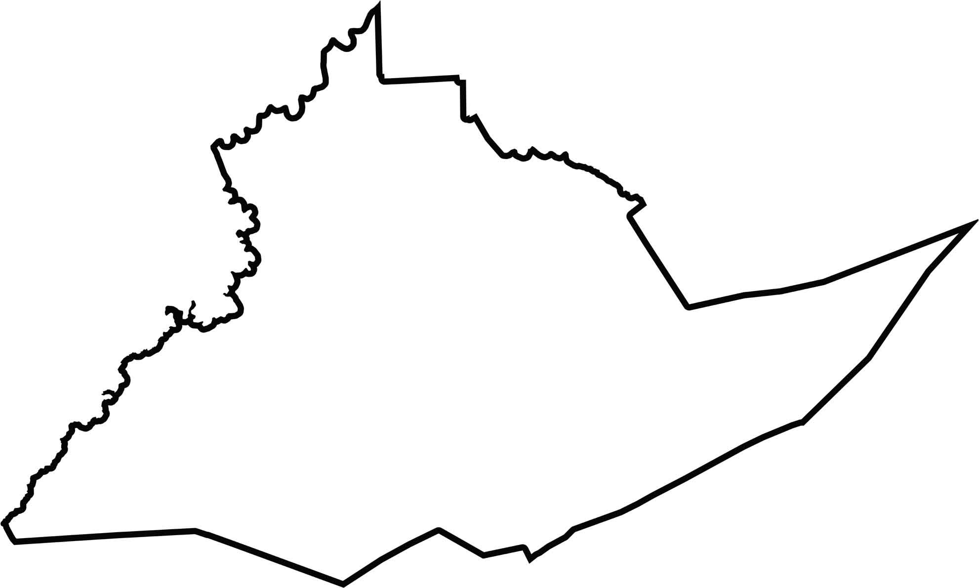
OUTLINE MAP
Centre County Blank Map
Centre County is broad in the middle, narrowing slightly at the top. The edges are mostly shaped by ridges and ridgelines, giving the county a rugged look.
Neighboring Counties
Here are the 6 neighboring counties of Centre County:


Pennsylvania County Map

Pennsylvania’s 67 counties contains steel city lights, Amish country backroads, and Pocono mountain escapes. Mileage may vary, but the stories won’t.