Douglas County Map, Oregon

Douglas County Map Collection


We allow you to use our Douglas County map. Attribution is required.
Douglas County, Oregon

Douglas County is a section of the Beaver State, where the Cascades and the Coast Range shake hands. This county creates a landscape that’ll make your jaw drop. It stretches from the Pacific coast inland, a patchwork of forests, valleys, and rivers.
Roseburg is the biggest town and county seat. It’s seen its share of ups and downs. Timber was king here once. Now? It’s more about wine. The Umpqua Valley is becoming a hotspot for Pinot Noir.
Crater Lake is just a stone’s throw away to the east. Wildlife’s everywhere. Yep, it has elk, deer, even the occasional bear. The locals are tough as old boots and twice as friendly. It’s the kind of place where you can lose yourself in nature and find yourself in the process.
| Category | Details |
|---|---|
| County Name | Douglas County |
| County Seat | Roseburg |
| Population | Approximately 114,000 |
| Cities, Towns, and Communities | Roseburg, Sutherlin, Winston, Reedsport, Myrtle Creek, Canyonville, Glide |
| Interstates and Highways | Interstate 5, U.S. Highway 101, State Highway 138 |
| FIPS Code | 41-019 |
| Total Area (Land and Water) | 5,134 square miles (5,036 sq mi land, 98 sq mi water) |
| Adjacent Counties (and Direction) | Lane County (North), Klamath County (East), Jackson County (South), Josephine County (South), Curry County (Southwest), Coos County (West) |
| Time Zone | Pacific Time Zone (PST) |
| State | Oregon |
| Coordinates | 43°18’N, 123°21’W |
| Etymology | Named after U.S. Senator Stephen A. Douglas |
| Major Landmarks | Umpqua National Forest, Crater Lake National Park (partial), Wildlife Safari, Toketee Falls |
| Website | Douglas County Website |
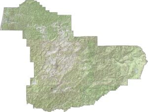
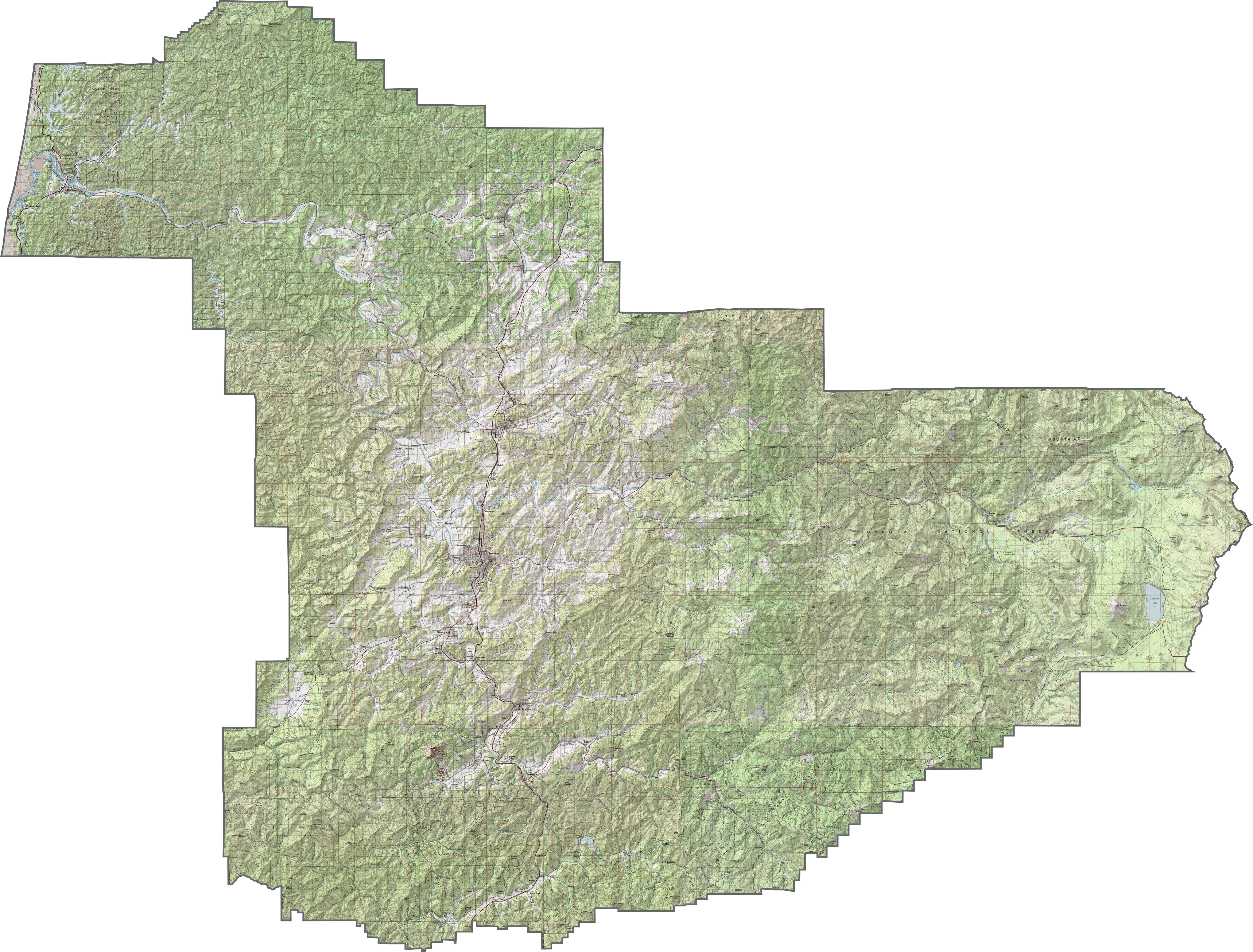
PHYSICAL MAP
Douglas County Topographic Map
The topography is all over the place… Coastal range in the west, Cascade foothills to the east, and forested mountains in between. The Umpqua River carves its way through much of the county. Elevation shifts are frequent but scenic.
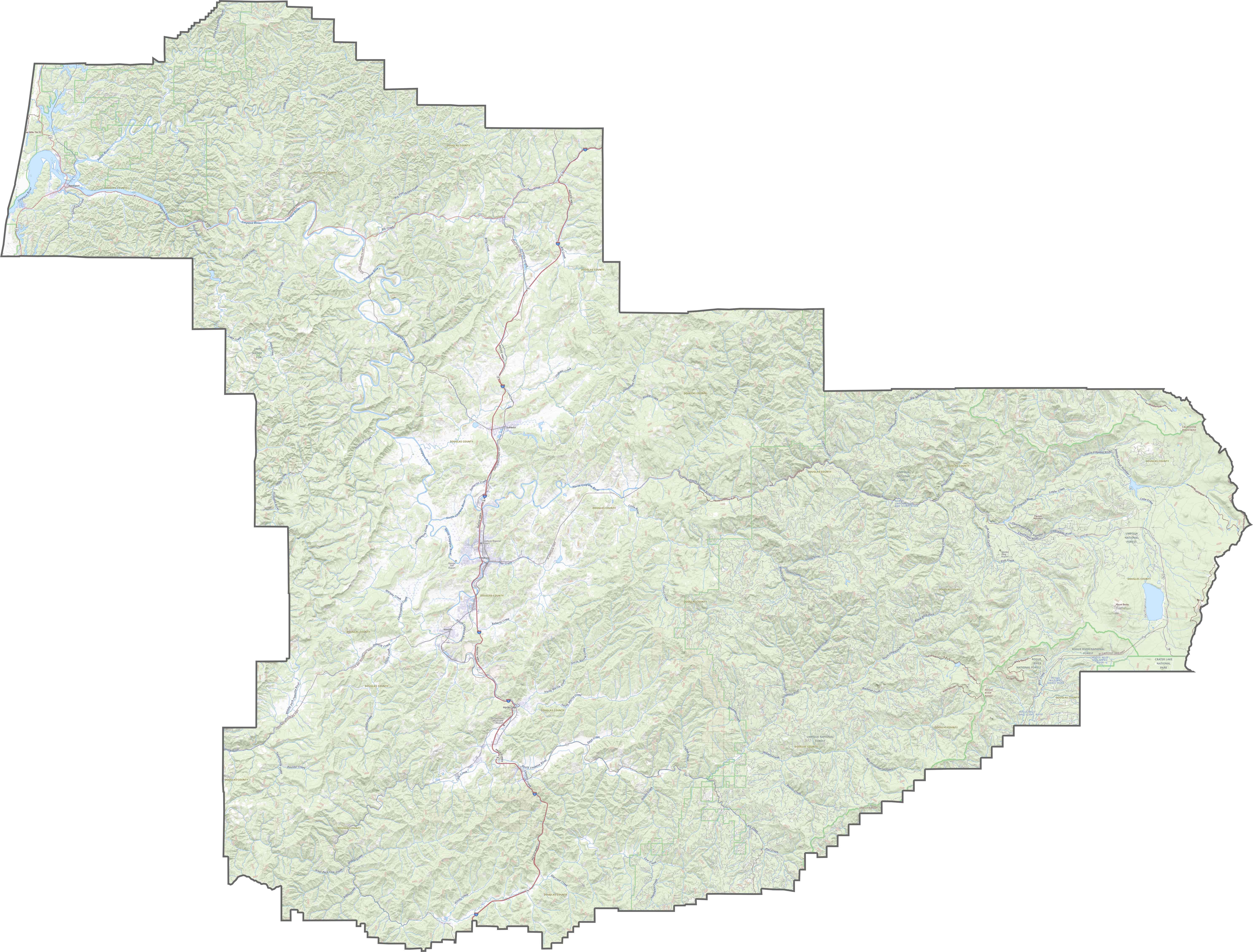
TRANSPORTATION MAP
Douglas County Road Map
Douglas County has a strong north-south I-5 interstate route running through its center. Several roads branch off into valleys, forests, and logging areas. Use our zoom tool to explore each route across this sprawling county.
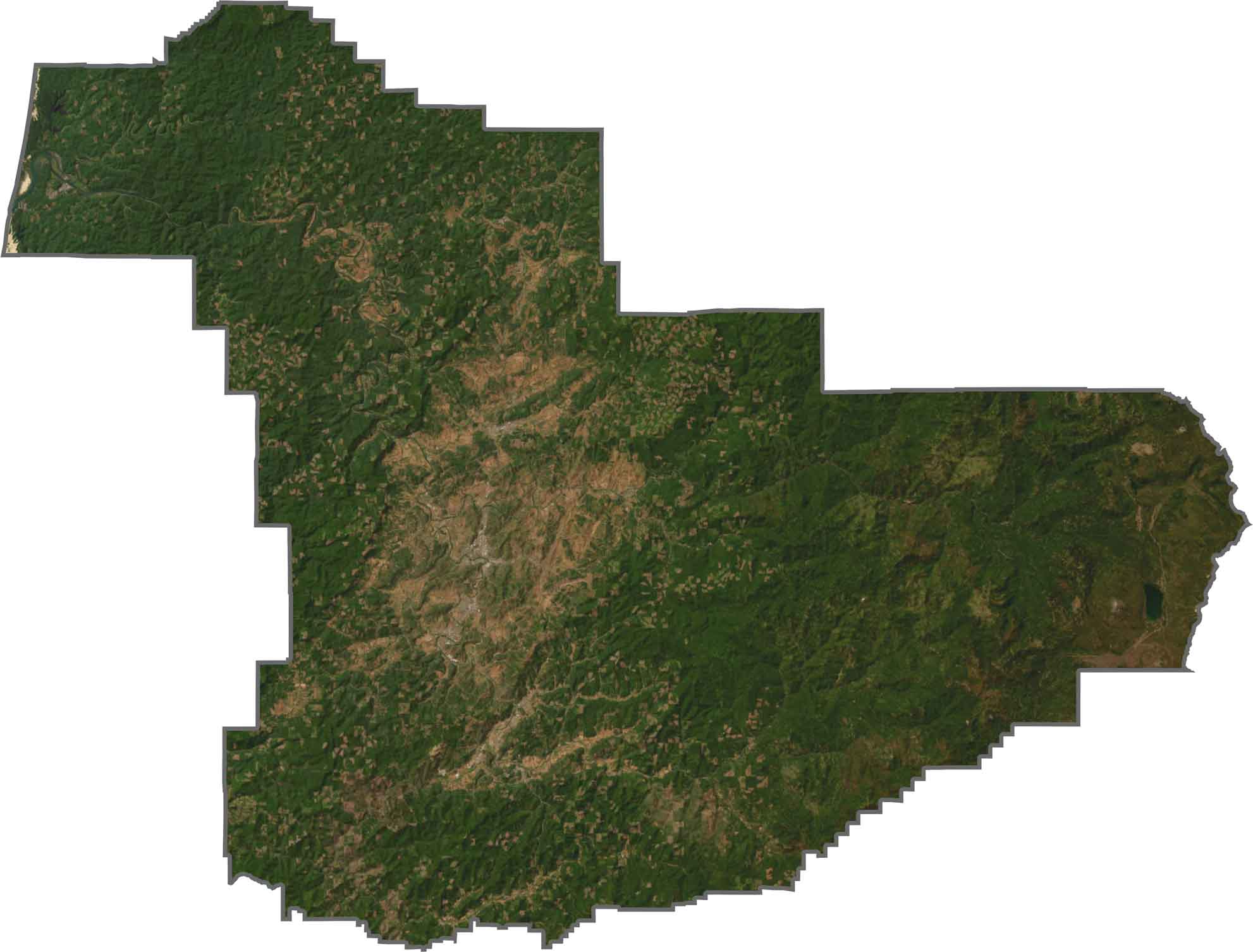
SATELLITE IMAGERY
Douglas County Satellite Map
Dense forests dominate the view. You’ll see patchworks of timberland and small towns tucked between ridges. Agricultural valleys pop up in the central part, but forestland quickly returns. The river’s winding path is easy to spot from above.
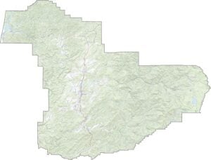
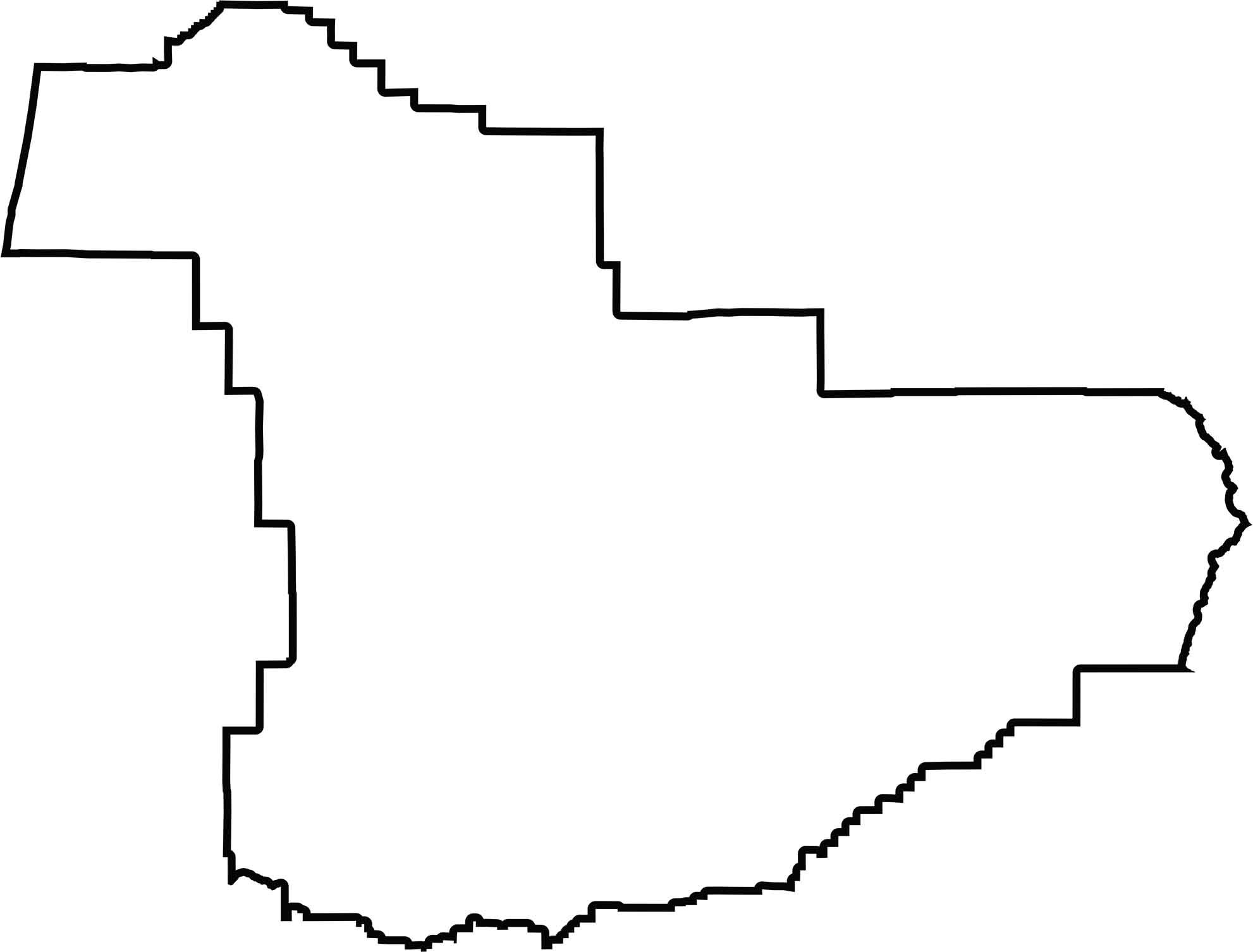
OUTLINE MAP
Douglas County Blank Map
Douglas County stretches coast to crest. It’s wide, irregular, and touches the Pacific Ocean. The western edge follows part of the coastline, while the rest is made up of twisting hills and watershed lines. No border with another state, just a lot of neighbors within Oregon.
Neighboring Counties
Here are the 6 neighboring counties of Douglas County:


Oregon County Map

Coastline, cascades, and high desert… Oregon’s 36 counties cover it all. One day you’re in a foggy fishing town. The next you’re up close to its volcanic peaks.