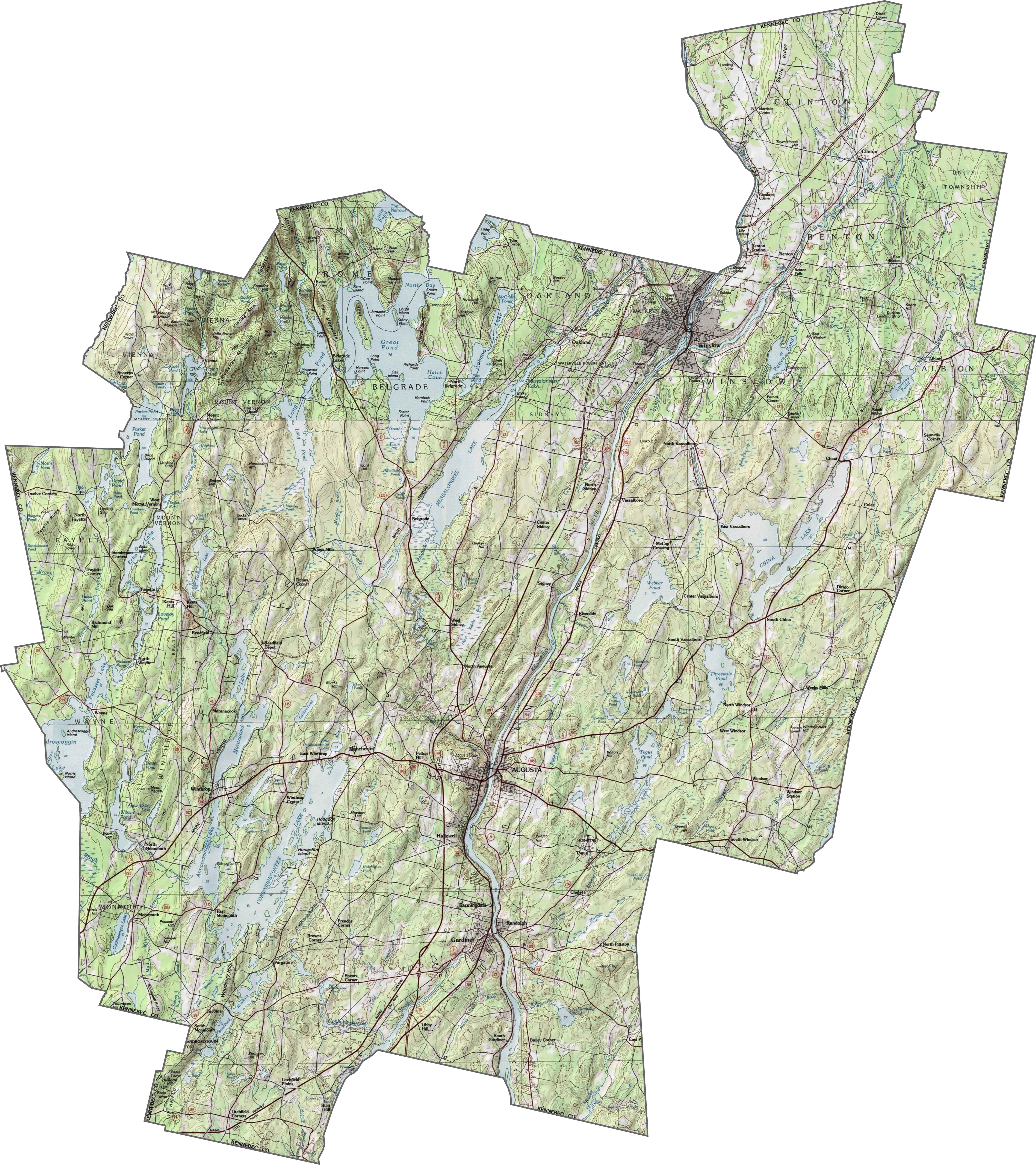
Kennebec County Map, Maine

Kennebec County Map Collection

We allow you to use our Kennebec County map. Attribution is required.
Kennebec County, Maine

Kennebec County sits in the middle of Maine, stretching from the state’s capital Augusta to the shores of beautiful lakes.
The Kennebec River cuts through the heart of the county, once a superhighway for Native Americans and early settlers. How about now? It’s a paradise for kayakers and fishing.
Locals take pride in their maple syrup and apple orchards. If you’re into outdoor adventures, this is your playground… hiking, camping, and wildlife watching are all on the menu. It’s not flashy, but that’s the charm.
| Category | Details |
|---|---|
| County Name | Kennebec County |
| County Seat | Augusta |
| Population | Approximately 123,000 |
| Cities, Towns, and Communities | Augusta, Waterville, Gardiner, Hallowell, Winthrop, Manchester, Oakland, China, Vassalboro, Sidney, Belgrade, Litchfield, Monmouth |
| Interstates and Highways | I-95, I-295, US-201, US-202, ME-3, ME-11, ME-27, ME-100 |
| FIPS Code | 23-011 |
| Total Area (Land and Water) | 951 square miles (868 sq mi land, 83 sq mi water) |
| Adjacent Counties (and Direction) | Somerset County (North), Waldo County (East), Sagadahoc County (South), Lincoln County (South), Androscoggin County (Southwest), Franklin County (Northwest) |
| Time Zone | Eastern Time Zone (ET) |
| State | Maine |
| Coordinates | 44.4473° N, 69.7767° W |
| Etymology | Named after the Kennebec River, which runs through the county |
| Major Landmarks | Maine State House, Old Fort Western, Colby College, Viles Arboretum, Kennebec River Rail Trail, Pine Tree State Arboretum |
| Website | Kennebec County Website |
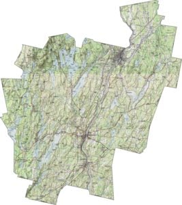
PHYSICAL MAP
Kennebec County Topographic Map
Kennebec County has a mix of rolling farmland and wooded hills. Though the Kennebec River Valley is relatively flat, the land rises gradually to the west. Small ridges appear unexpectedly, breaking up the open fields. Zoom in to see the subtle elevation shifts with our topographic map below.
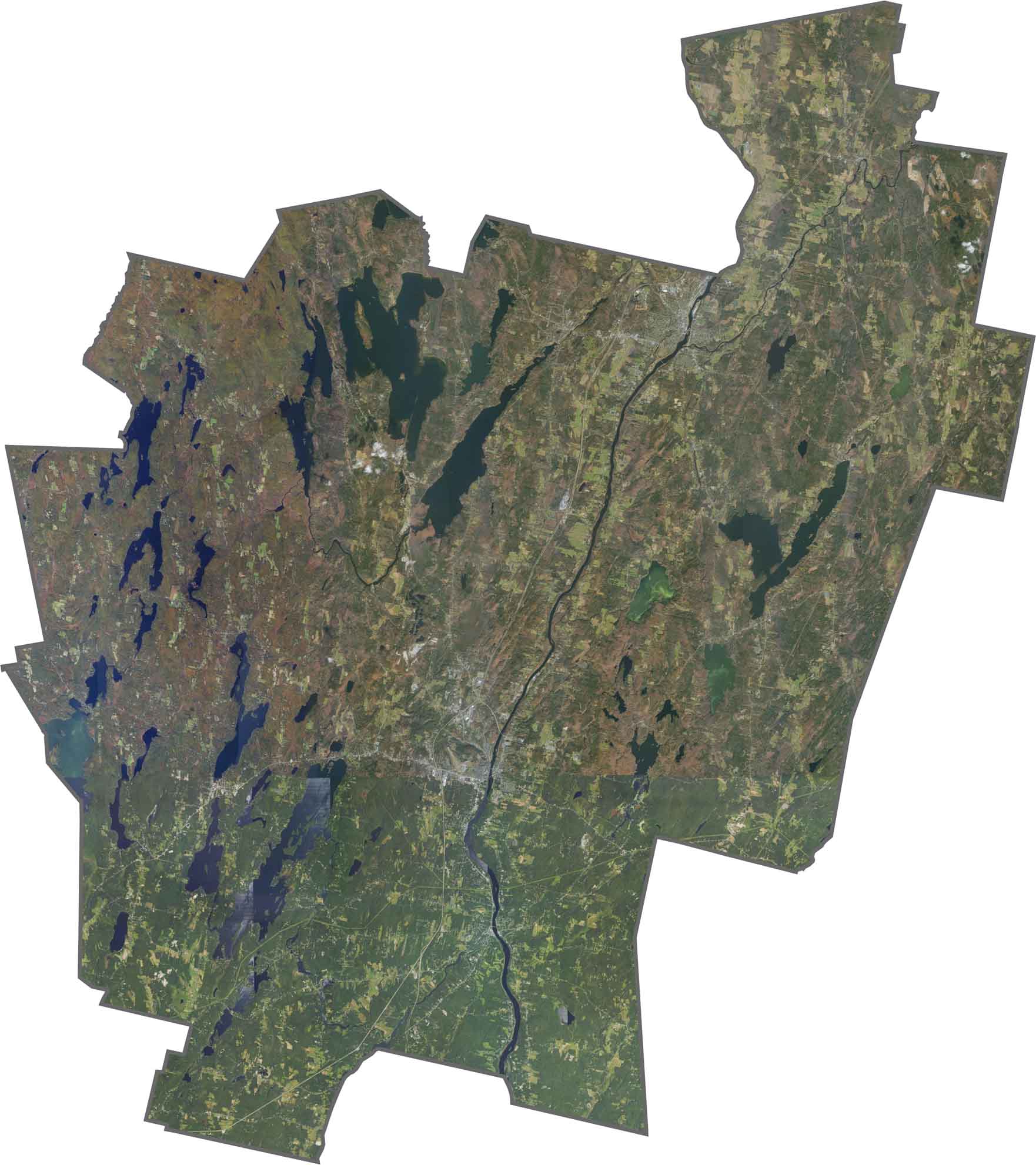
SATELLITE IMAGERY
Kennebec County Satellite Map
The Kennebec River is the most prominent feature in our satellite. It basically chops the county in two pieces west to east. Augusta’s urban area also stands out with its grid-like streets.
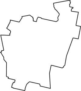
OUTLINE MAP
Kennebec County Blank Map
Kennebec County is long and narrow, stretching northeast to southwest. It touches Somerset, Waldo, and Androscoggin Counties, as well as a small part of Franklin County.

Neighboring Counties
Here are the 6 neighboring counties of Kennebec County:


Maine County Map

Life moves at the pace of the tides here. One day is spent hiking forest trails, the next watching fog roll over quiet harbors. See what makes each county special with our Maine county maps.