Madison County Map, Tennessee

Madison County Map Collection

We allow you to use our Madison County map. Attribution is required.
Madison County, Tennessee

Madison County is in West Tennessee, about halfway between Memphis and Nashville. Jackson is the biggest city in Madison County.
The county has a bit of everything. City life in Jackson, sure. But drive a few minutes and you’re in farm country. Casey Jones Village is a popular spot. It has this old train and a cute little 1890s town setup. Visitors love it.
The county has some serious musical roots too. Carl Perkins, of “Blue Suede Shoes” fame, was from here. So was Sonny Boy Williamson. Blues and rockabilly run deep. It’s a place with character. A little bit country, a little bit rock and roll.
| Category | Details |
|---|---|
| County Name | Madison County |
| County Seat | Jackson |
| Population | Approximately 101,000 |
| Cities, Towns, and Communities | Jackson, Three Way, Medon |
| Interstates and Highways | Interstate 40, U.S. Highway 45, U.S. Highway 70 |
| FIPS Code | 47-113 |
| Total Area (Land and Water) | 559 square miles (557 sq mi land, 2 sq mi water) |
| Adjacent Counties (and Direction) | Gibson County (North), Carroll County (Northeast), Henderson County (East), Chester County (Southeast), Hardeman County (South), Haywood County (West), Crockett County (Northwest) |
| Time Zone | Central Time Zone (CST) |
| State | Tennessee |
| Coordinates | 35°36’N, 88°49’W |
| Etymology | Named after James Madison, the fourth President of the United States |
| Major Landmarks | Casey Jones Village, Cypress Grove Nature Park, The Ned R. McWherter West Tennessee Cultural Arts Center |
| Website | Madison County Website |
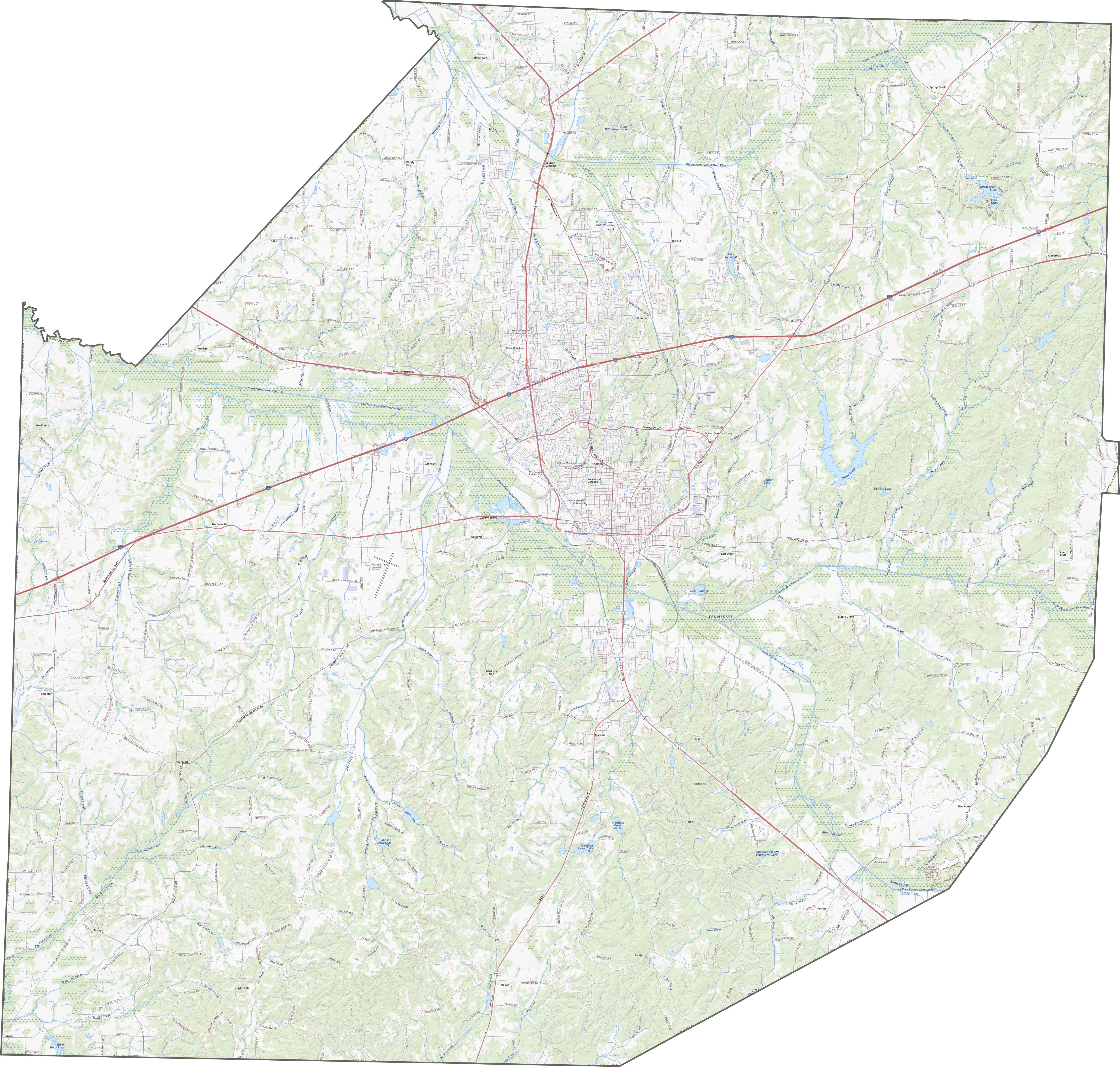
TRANSPORTATION MAP
Madison County Road Map
Simplicity works here. Roads head into Jackson and spread out from there. Unlike mountainous counties, Madison keeps it straightforward. No steep climbs. Fewer winding detours. Though the layout is basic, traffic moves along with highways like I-40, U.S. Highway 45, and 70.
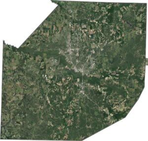
SATELLITE IMAGERY
Madison County Satellite Map
From above, farmland dominates. Rectangular plots stretch wide, tan and green depending on season. Jackson appears as a central gray mass, surrounded by patchy suburbs. Beyond that, the grid takes over… roads, fields, and the occasional wooded patch. No mountains. No valleys. Just space.

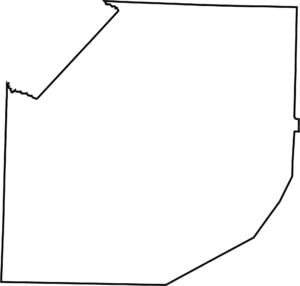
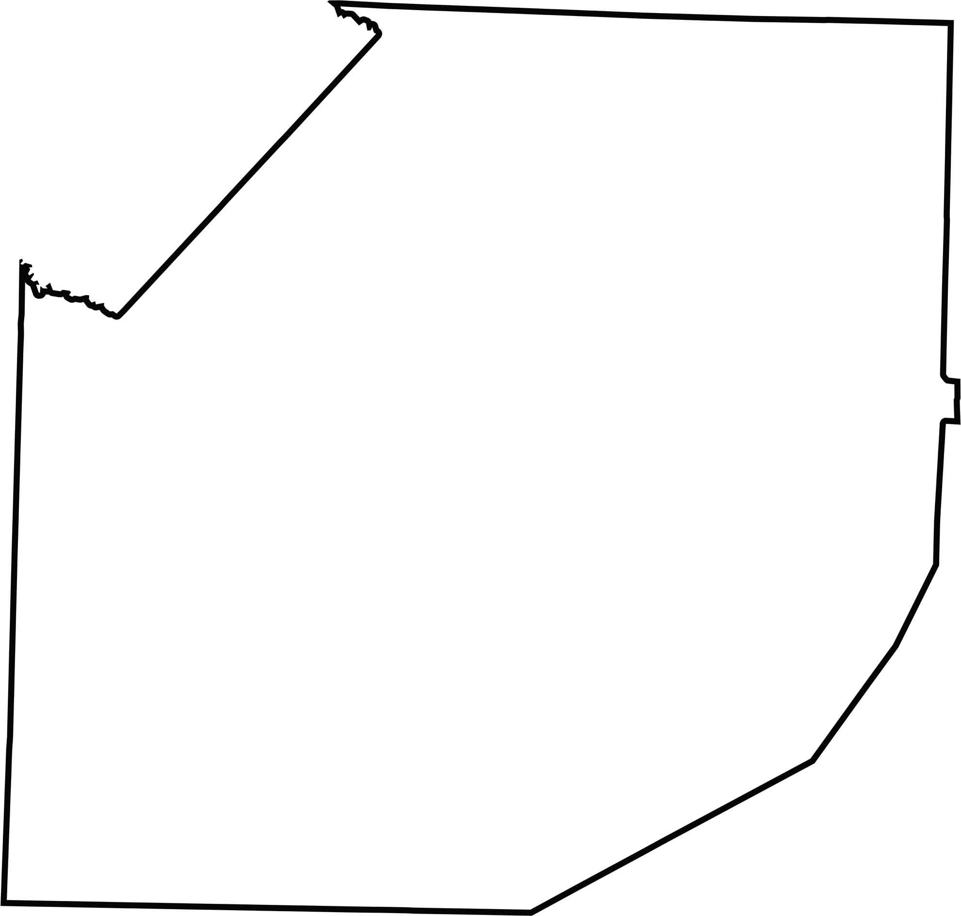
OUTLINE MAP
Madison County Blank Map
Boxy, but not quite square. The edges show some squiggle, especially on the west. This county is surrounded entirely by other Tennessee counties.
Neighboring Counties
Here are the 7 neighboring counties of Madison County:


Tennessee County Map

There’s no such thing as a boring county in Tennessee. Some stretch through the Smokies, others roll out into Delta flatlands. Every county’s shaped by the land and it shows.