Norton City Map, Virginia
We allow you to use our Norton City map. Attribution is required.
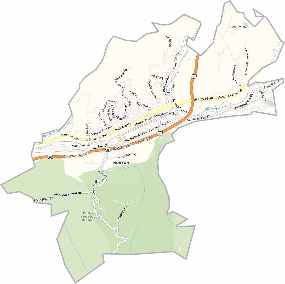
Norton City, Virginia

Norton is an independent city located in the southwestern corner of Virginia, nestled in the Appalachian Mountains. The city is bordered by Wise County.
It’s a close distance to the Tri-Cities area and sits near the Virginia-Kentucky state line. Norton is a gateway to the nearby Jefferson National Forest.
Norton is near the University of Virginia’s College at Wise, a major educational institution in the area. The city’s economy has traditionally been based on mining. But it has diversified into healthcare, education, and tourism in recent years.
| Category | Details |
|---|---|
| County name | Norton (Independent City) |
| Population | 3,500 (approx.) |
| Cities, towns, and communities | Norton |
| Interstates and highways | US Route 23, US Route 58, Route 72 |
| FIPS code | 51-720 |
| Total area (land and water) | 7.0 square miles |
| Adjacent counties (and direction) | Wise County (Surrounded By) |
| Time zone | Eastern Time Zone |
| State | Virginia |
| Coordinates | 36.9333° N, 82.6333° W |
| Etymology | Named after Eckstein Norton, president of the Louisville and Nashville Railroad |
| Major landmarks | The Nature Conservancy’s Clinch River Preserve, Norton City Park, Wise County Heritage Museum |
| Website | Norton Independent City |
Virginia County Maps
Get to know all the counties in Virginia with our map collection.


