Washington County Map, Wisconsin

Washington County Map Collection
We allow you to use our Washington County map. Attribution is required.
Washington County, Wisconsin

Washington County is located just a stone’s throw from Milwaukee. Rolling farmland gives way to busy towns like West Bend and Germantown. The Kettle Moraine State Forest cuts through the south.
History runs deep here. The area was settled by German immigrants in the 1800s, and you can still feel that heritage today. Old stone churches fill the countryside. Festivals celebrate everything from polka to bratwurst.
The county has a fun arts scene, too. Check out the Museum of Wisconsin Art in West Bend. Outdoor recreation is big year-round. Summertime brings boaters to Big Cedar Lake, while winter sees skiers hitting the slopes at Little Switzerland. It’s close enough to Milwaukee for an easy commute, but far enough to feel like you’re in another world.
| Category | Details |
|---|---|
| County Name | Washington County |
| County Seat | West Bend |
| Population | Approximately 138,000 |
| Cities, Towns, and Communities | West Bend, Hartford, Germantown, Slinger, Jackson |
| Interstates and Highways | US-41, WI-33, WI-60, WI-167 |
| FIPS Code | 55-131 |
| Total Area (Land and Water) | 436 sq mi (Land: 431 sq mi; Water: 5 sq mi) |
| Adjacent Counties (and Direction) | Fond du Lac County (Northwest), Sheboygan County (Northeast), Ozaukee County (East), Milwaukee County (Southeast), Waukesha County (South), Dodge County (West) |
| Time Zone | Central Time Zone (CT) |
| State | Wisconsin |
| Coordinates | 43.4235° N, 88.1836° W |
| Etymology | Named after George Washington, the first President of the United States |
| Major Landmarks | Museum of Wisconsin Art, Holy Hill National Shrine of Mary, Kettle Moraine State Forest |
| Website | Washington County Website |
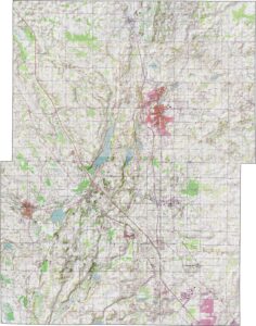
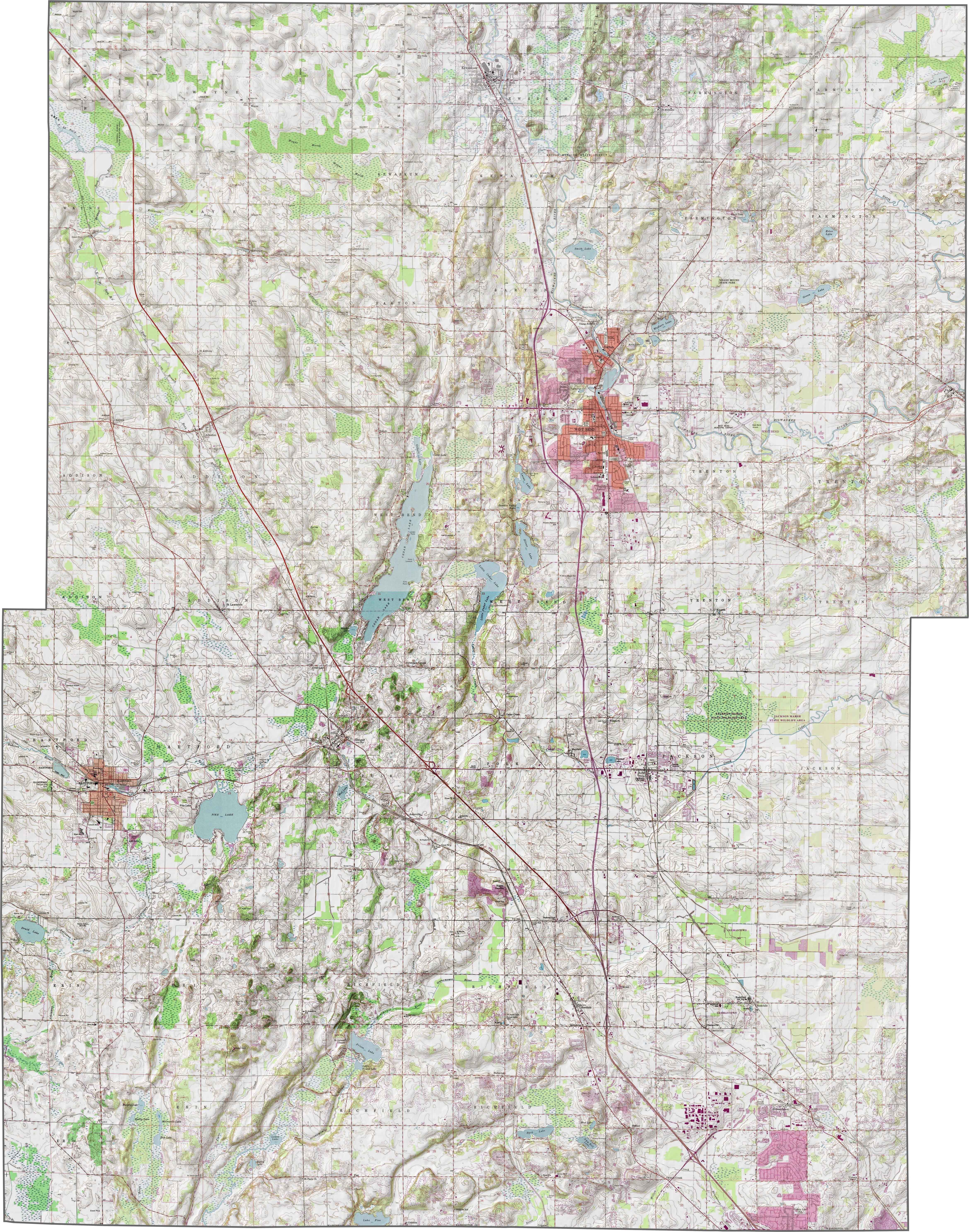
PHYSICAL MAP
Washington County Topographic Map
Washington County has a mix of high ridges and shallow glacial valleys. The Kettle Moraine cuts through the southwestern edge. This brings a lot of wooded hills and uneven terrain. Elsewhere, rolling farmland, lakes, and creeks fill the gaps.
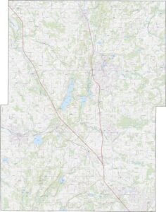
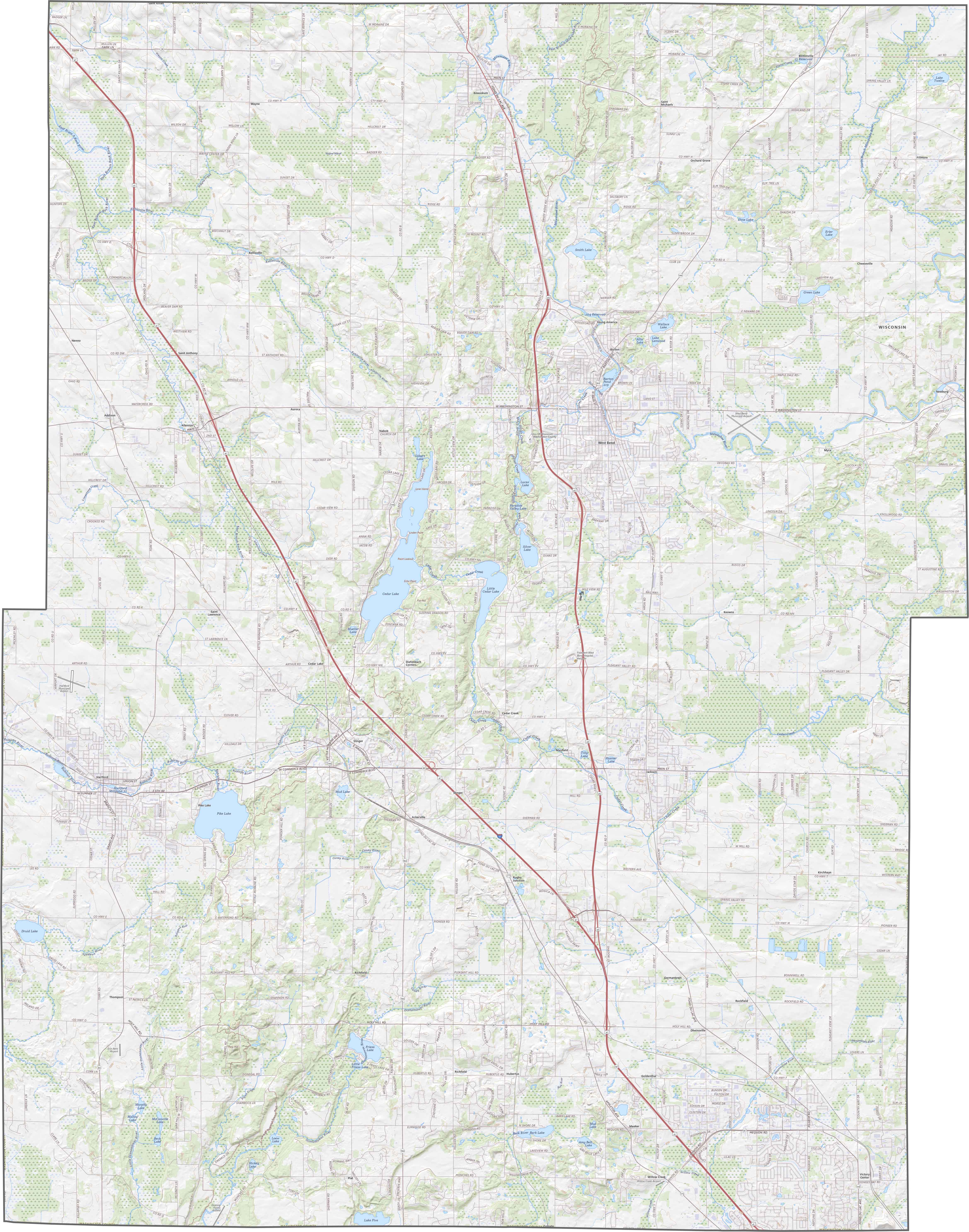
TRANSPORTATION MAP
Washington County Road Map
Interstate 41 runs through the county from southeast to northwest. While traffic builds up a bit near West Bend, most of the roads feel open. You can see all the routes clearly with our zoom tool and road map below.
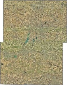
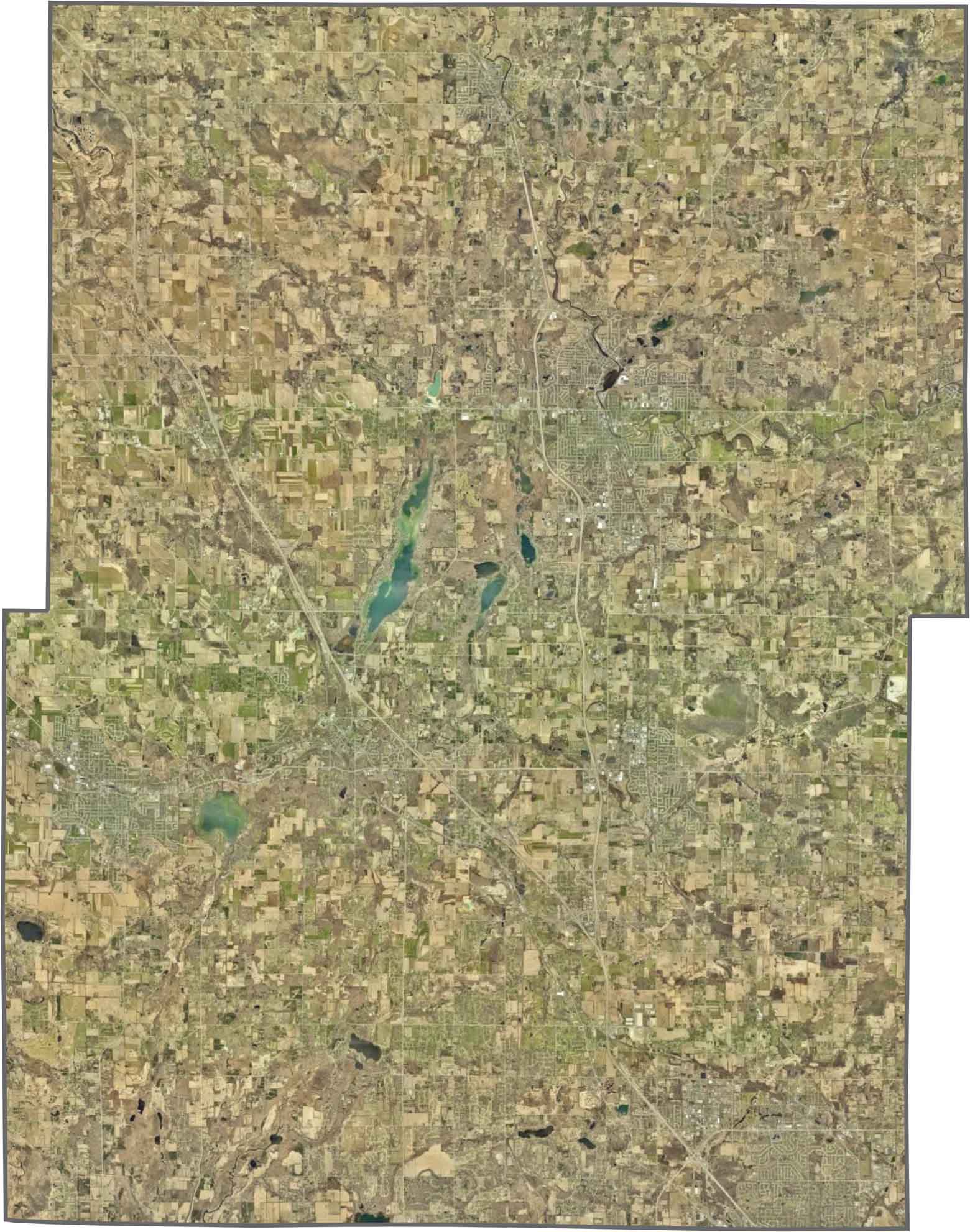
SATELLITE IMAGERY
Washington County Satellite Map
West Bend stands out near the middle, but it’s surrounded quickly by green. Forested ridges stretch across the west, especially in the Kettle Moraine. The rest of our satellite map shows farmland with lakes and crossed by thin river lines.
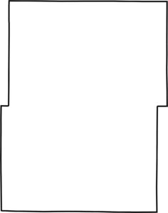
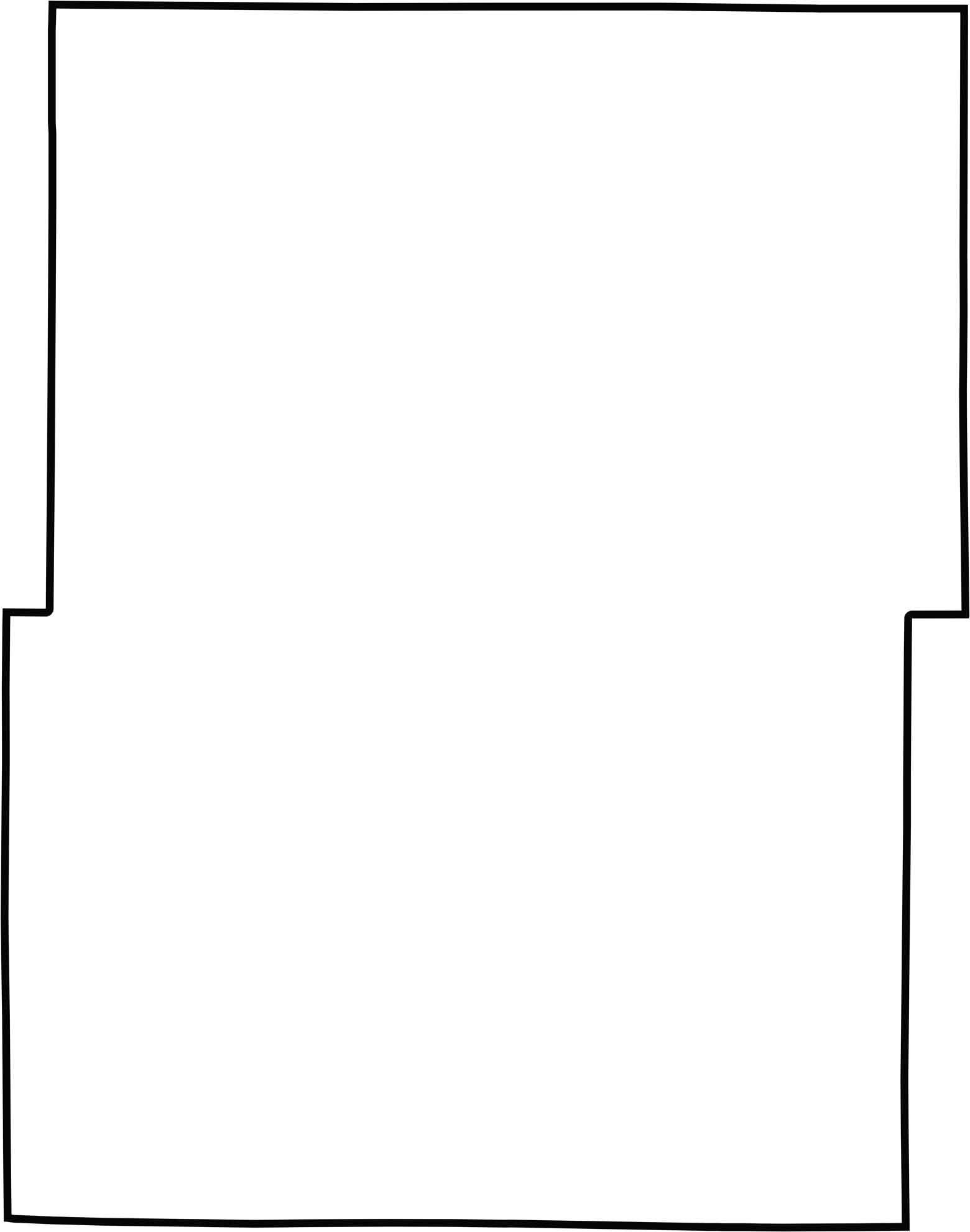
OUTLINE MAP
Washington County Blank Map
The county has a jagged but mostly rectangular shape. It doesn’t touch any other states, and no river forms its borders. This means the outline is mostly formed from straight survey lines.
Neighboring Counties
Here are the 6 neighboring counties of Washington County:


Wisconsin County Map

Forget the beer and cheese stereotypes. Wisconsin’s 72 counties have more going on than tailgates and taverns. Some hug Great Lakes shorelines, others stretch through dairy farms, forests, or rolling bluffs.