Kent County Map, Maryland

Kent County Map Collection

We allow you to use our Kent County map. Attribution is required.
Kent County, Maryland

Kent County sits on Maryland’s Eastern Shore, hugging the Chesapeake Bay. Chestertown serves as the county seat and hosts a lively Tea Party Festival each year.
The population is small, just under 20,000, so there’s a real community feel. You’ll find wineries along the Chesapeake Wine Trail and plenty of spots for birdwatching at the Eastern Neck National Wildlife Refuge.
You’ll find a lot of farmland here. But seafood is a staple here, especially oysters and crabs. Simple, yet never dull, Kent County has a little bit of everything.
| Category | Details |
|---|---|
| County Name | Kent County |
| County Seat | Chestertown |
| Population | 20,000 |
| Cities, Towns, and Communities | Chestertown, Galena, Millington, Betterton, and several unincorporated communities |
| Interstates and Highways | Maryland Route 213, Maryland Route 290, Maryland Route 298 |
| FIPS Code | 24-029 |
| Total Area (Land and Water) | 277.1 square miles (land: 239.6 sq mi, water: 37.5 sq mi) |
| Adjacent Counties (and Direction) | Cecil County (North), New Castle County, Delaware (Northeast), Queen Anne’s County (South), Kent County, Delaware (Southeast) |
| Time Zone | Eastern Time Zone (EST) |
| State | Maryland |
| Coordinates | 39.29°N, 76.03°W |
| Etymology | Named after the Kent County in England. |
| Major Landmarks | Chestertown Historic District, Washington College, Kent County Fairgrounds, Rock Hall Maritime Museum |
| Website | Kent County Website |
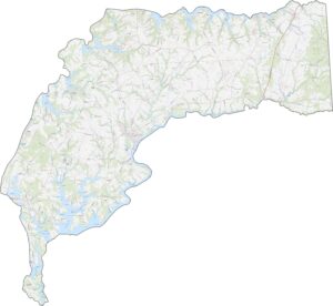
TRANSPORTATION MAP
Kent County Road Map
The thing about Kent County is that it has no interstate highways. But it has lots of rural roads straight through farmland. Its busiest highway is Route 301, which runs north-south.

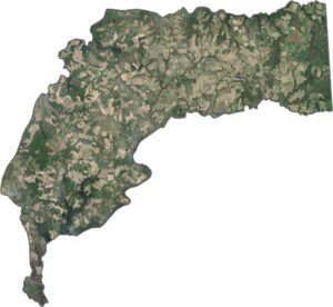
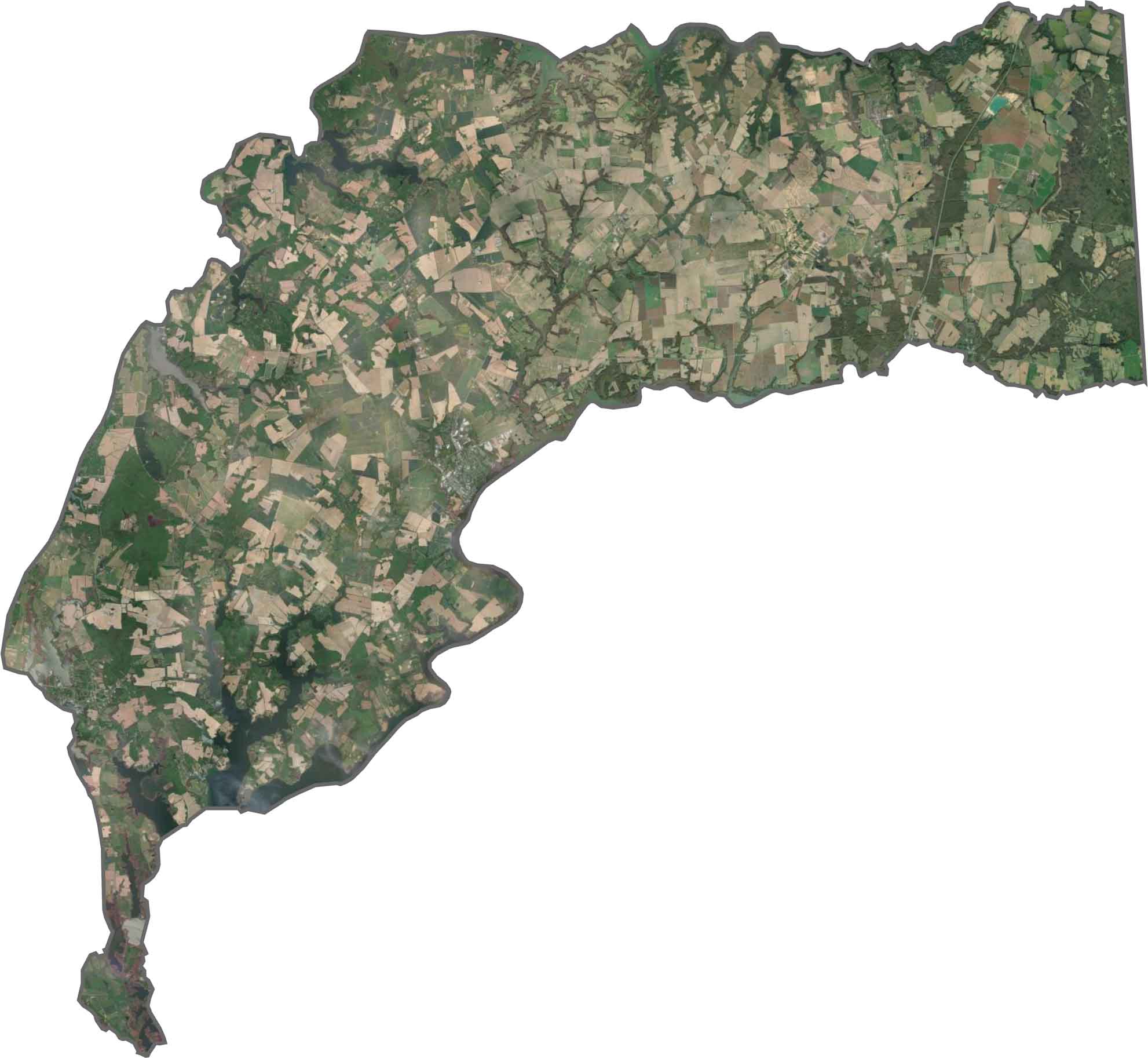
SATELLITE IMAGERY
Kent County Satellite Map
Our satellite imagery reveal agricultural fields covering about 60% of the county. The Chester River’s branching tributaries create finger-like streams into the land. Historic towns like Chestertown appear as small, dense clusters near the waterfront.
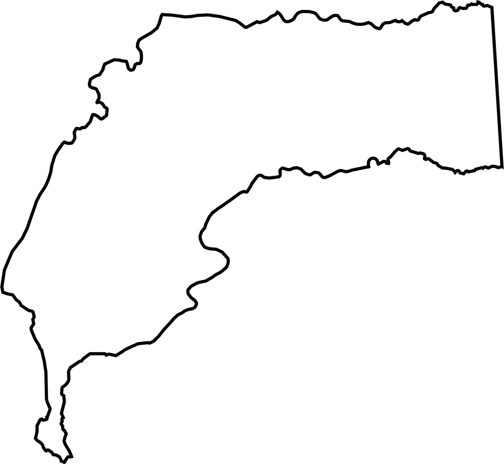
OUTLINE MAP
Kent County Blank Map
Kent County occupies a peninsula between the Chester River and Sassafras River. It shares its entire eastern border with Delaware. The county’s west side is Chesapeake Bay.
Neighboring Counties
Here are the 4 neighboring counties of Kent County:


Maryland County Map

With 23 counties and Baltimore City, Maryland gives you a distinct experience in every corner. City life, small towns, and outdoor adventures all come together. Learn more in our Maryland county maps.