Butler County Map, Ohio

Butler County Map Collection

We allow you to use our Butler County map. Attribution is required.
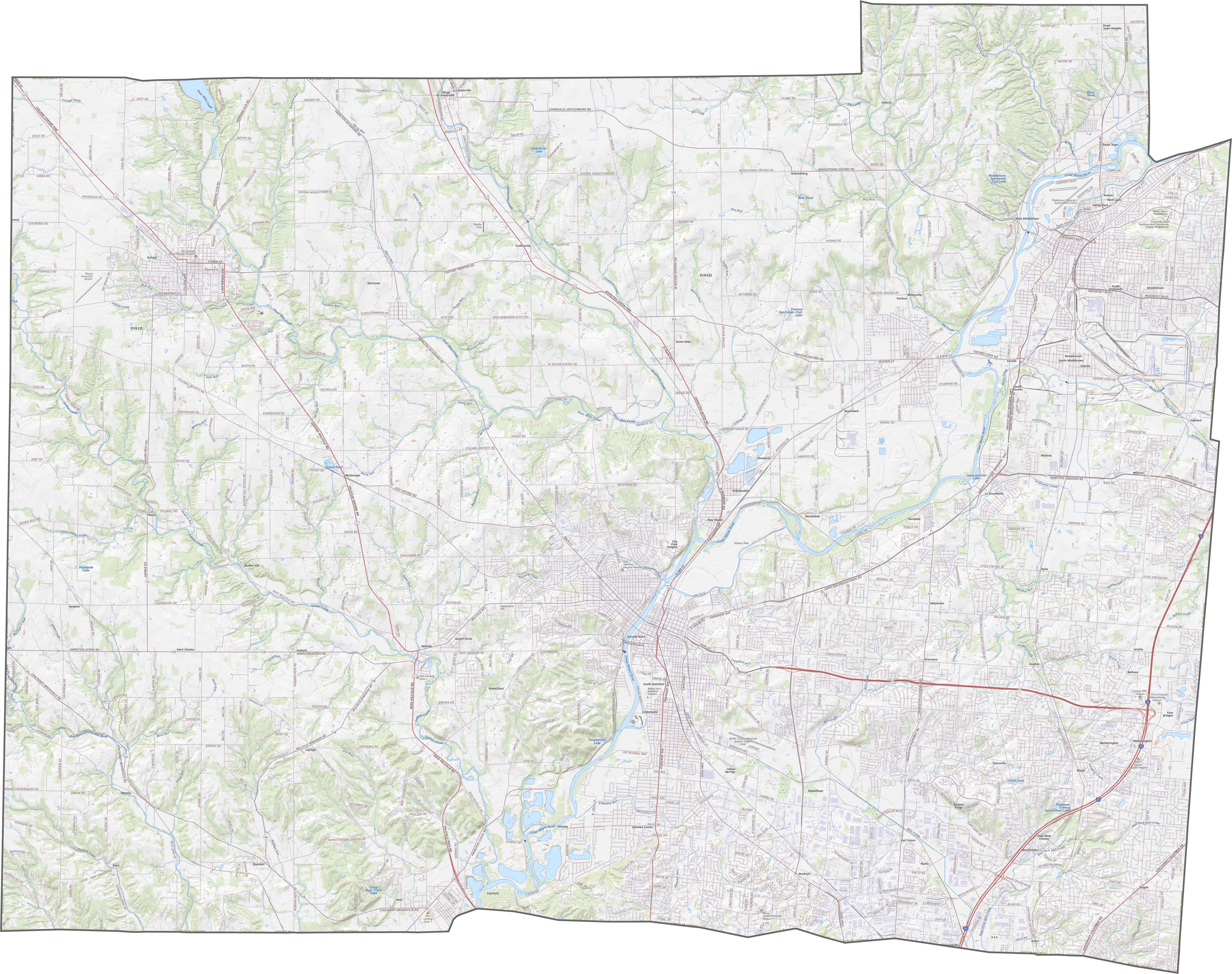
Butler County, Ohio

Butler County is located in southwestern Ohio. It’s sandwiched between Cincinnati and Dayton. This means residents have easy access to big-city amenities.
Miami University, a prestigious public school, calls Oxford home. People here love the abundant parks and green spaces, perfect for hiking, fishing, and picnicking. The county’s largest city is Hamilton in the center.
The Great Miami River winds through the region with scenic views and recreational opportunities. Despite its growth, Butler County has managed to maintain a friendly feel that keeps newcomers and locals proud.
| Category | Details |
|---|---|
| County Name | Butler County |
| County Seat | Hamilton |
| Population | Approximately 400,000 |
| Cities, Towns, and Communities | Hamilton, Middletown, Oxford, West Chester |
| Interstates and Highways | Interstate 75, U.S. Highway 127, State Route 129 |
| FIPS Code | 39-017 |
| Total Area | 468 square miles (land and water) |
| Adjacent Counties | Preble County (North), Montgomery County (Northeast), Warren County (East), Hamilton County (South), Dearborn County, Indiana (Southwest), Franklin County, Indiana (West), Union County, Indiana (Northwest) |
| Time Zone | Eastern Time Zone |
| State | Ohio |
| Coordinates | 39.4913° N, 84.5624° W |
| Etymology | Named after General Richard Butler, a hero of the American Revolution |
| Major Landmarks | Butler County Historical Society Museum, Miami University |
| Website | Butler County Website |
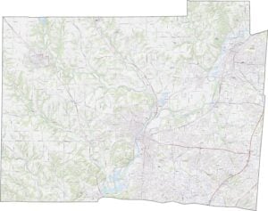
TRANSPORTATION MAP
Butler County Road Map
Butler County sits just north of Cincinnati, so highways here stay busy. A small chunk of Interstate 75 runs north-south and sees constant traffic. U.S. Route 127 also cuts through, though it’s less intense. You can zoom in on every highway in our road map below.
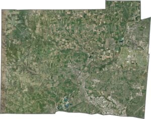
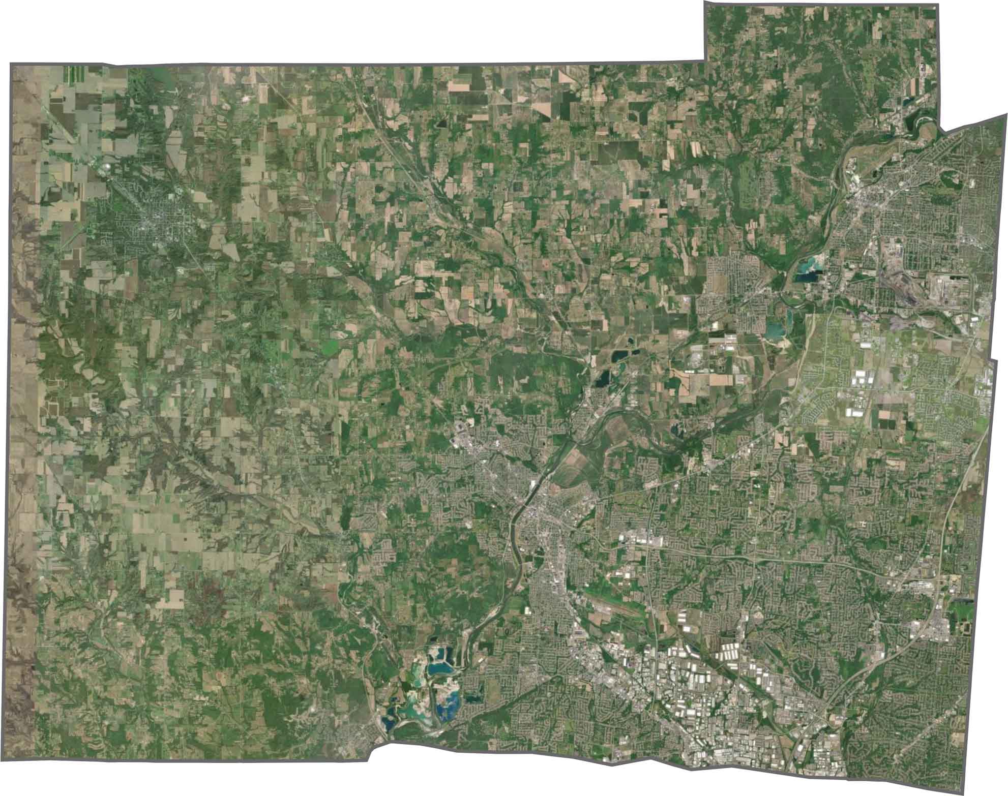
SATELLITE IMAGERY
Butler County Satellite Map
Butler County’s urban growth is easy to spot from above. Suburbs, highways, and urban areas fill much of the eastern side. However, farmland and wooded areas still cover the west. Though not far from Cincinnati, many fields remain undeveloped.
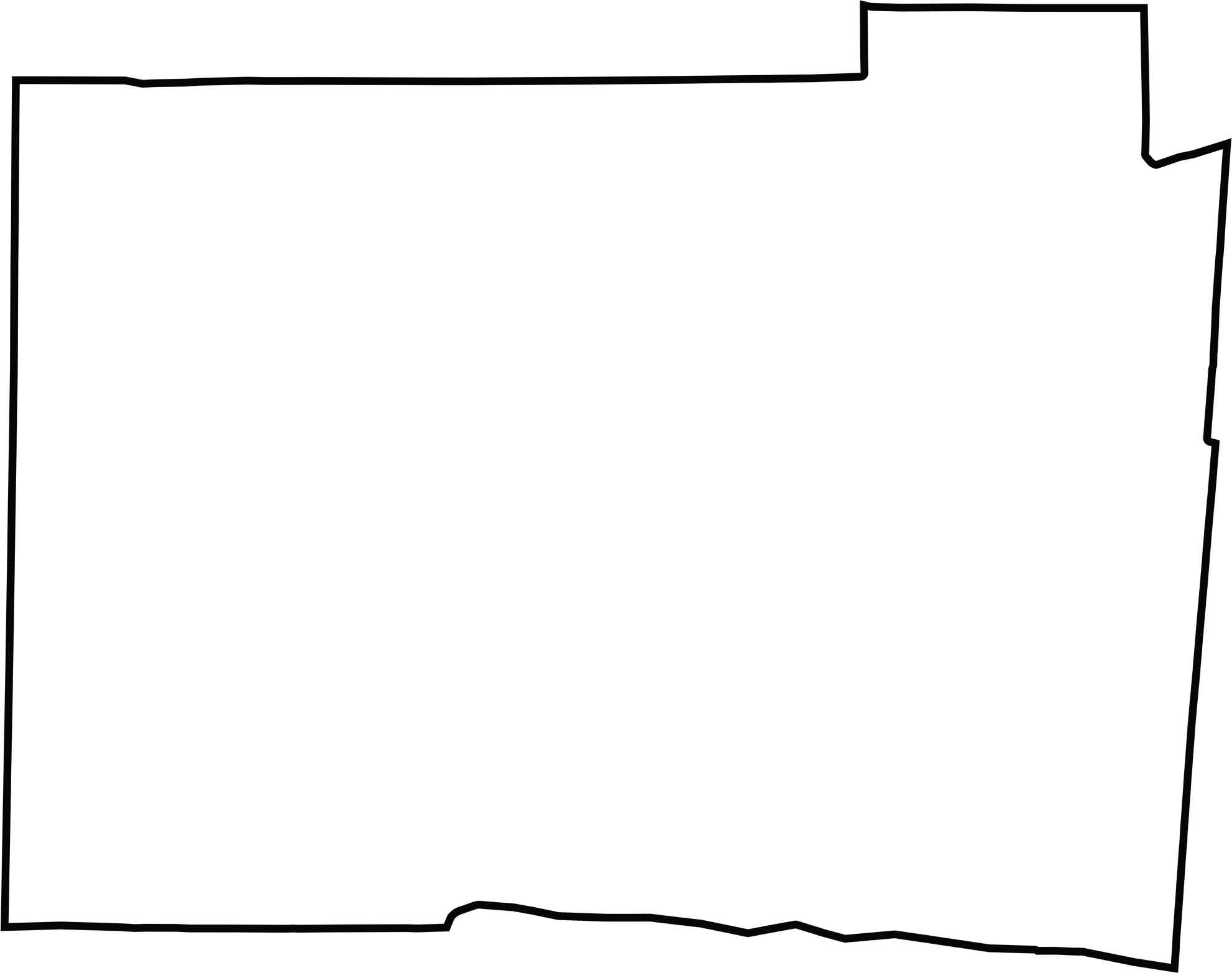
OUTLINE MAP
Butler County Blank Map
Butler County has a boxy shape, but not a perfect one. Its western edge borders Indiana.Though straight lines define most borders, rivers and creeks nudge a few corners out of place like Great Miami River.
Neighboring Counties
Here are the 7 neighboring counties of Butler County:


Ohio County Map

Forget the coast. Ohio’s 88 counties are where real America hums. No pretense, no postcard perfection, just hard-working towns and quiet backroads that get under your skin. This is the Midwest without the filter.