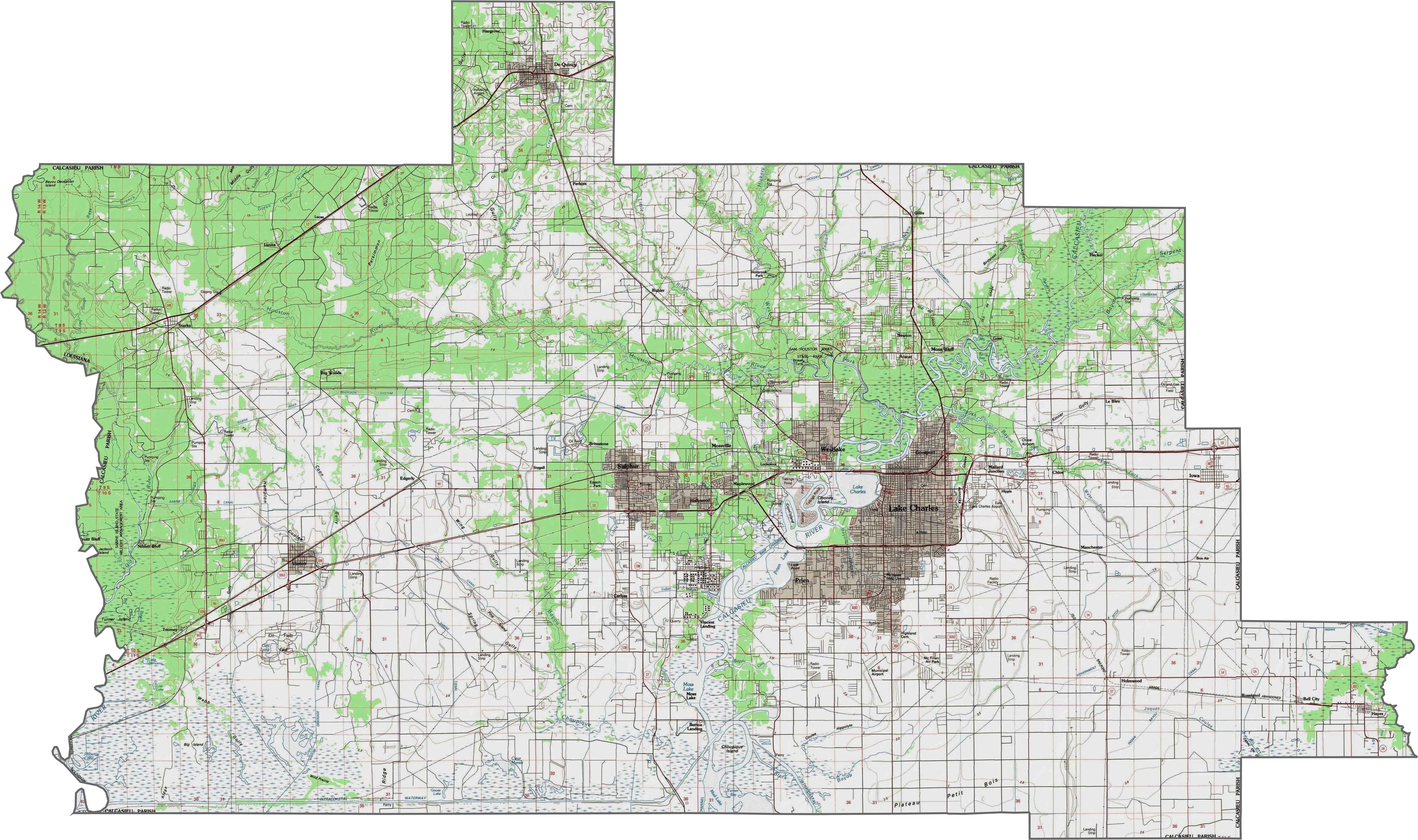
Calcasieu Parish Map, Louisiana

Calcasieu Parish Map Collection

We allow you to use our Calcasieu Parish map. Attribution is required.
Calcasieu Parish, Louisiana

Calcasieu Parish sits in the southwest corner of Louisiana, bordering Texas. It’s got a bit of everything. It has busy cities, quiet bayous, and sprawling farmland.
Lake Charles is the parish seat and biggest city. Here, you’ll find a mix of Cajun culture and modern attractions. Folks here love their outdoor activities, from fishing to hiking.
The parish has seen its share of hurricanes, but the people are resilient. Oil and gas drive the economy with massive refineries. But it’s not all industry. There’s a thriving arts scene too.
| Category | Details |
|---|---|
| Parish Name | Calcasieu Parish |
| Parish Seat | Lake Charles |
| Population | Approximately 210,000 |
| Cities, Towns, and Communities | Lake Charles, Sulphur, Westlake, DeQuincy, Vinton, Iowa, Moss Bluff, Carlyss, Gillis, Hayes |
| Interstates and Highways | I-10, I-210, US-90, US-171, LA-14, LA-27 |
| FIPS Code | 22-019 |
| Total Area (Land and Water) | 1,094 square miles (1,064 sq mi land, 30 sq mi water) |
| Adjacent Parishes (and Direction) | Beauregard Parish (North), Jefferson Davis Parish (East), Cameron Parish (South), Orange County, Texas (West), Newton County, Texas (Northwest) |
| Time Zone | Central Time Zone (CT) |
| State | Louisiana |
| Coordinates | 30.2266° N, 93.2174° W |
| Etymology | Named after the Atakapa word “crying eagle,” a reference to the Native American chief Crying Eagle |
| Major Landmarks | Lake Charles Historic District, Creole Nature Trail, Sam Houston Jones State Park, Mardi Gras Museum of Imperial Calcasieu, USS Orleck Naval Museum |
| Website | Calcasieu Parish Website |
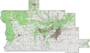
PHYSICAL MAP
Calcasieu Parish Topographic Map
Calcasieu transitions from coastal marshes to inland prairies. Though mostly flat, the Calcasieu River carves the most significant elevation changes. Explore this county more with our zoom tool.
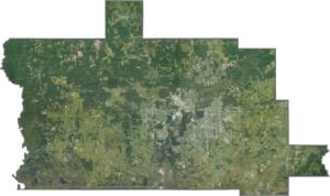
SATELLITE IMAGERY
Calcasieu Parish Satellite Map
Industry and wetlands collide here. The Calcasieu River cuts through refineries and docks, while marshes dominate the south. Lake Calcasieu stands out against the marshy backdrop.
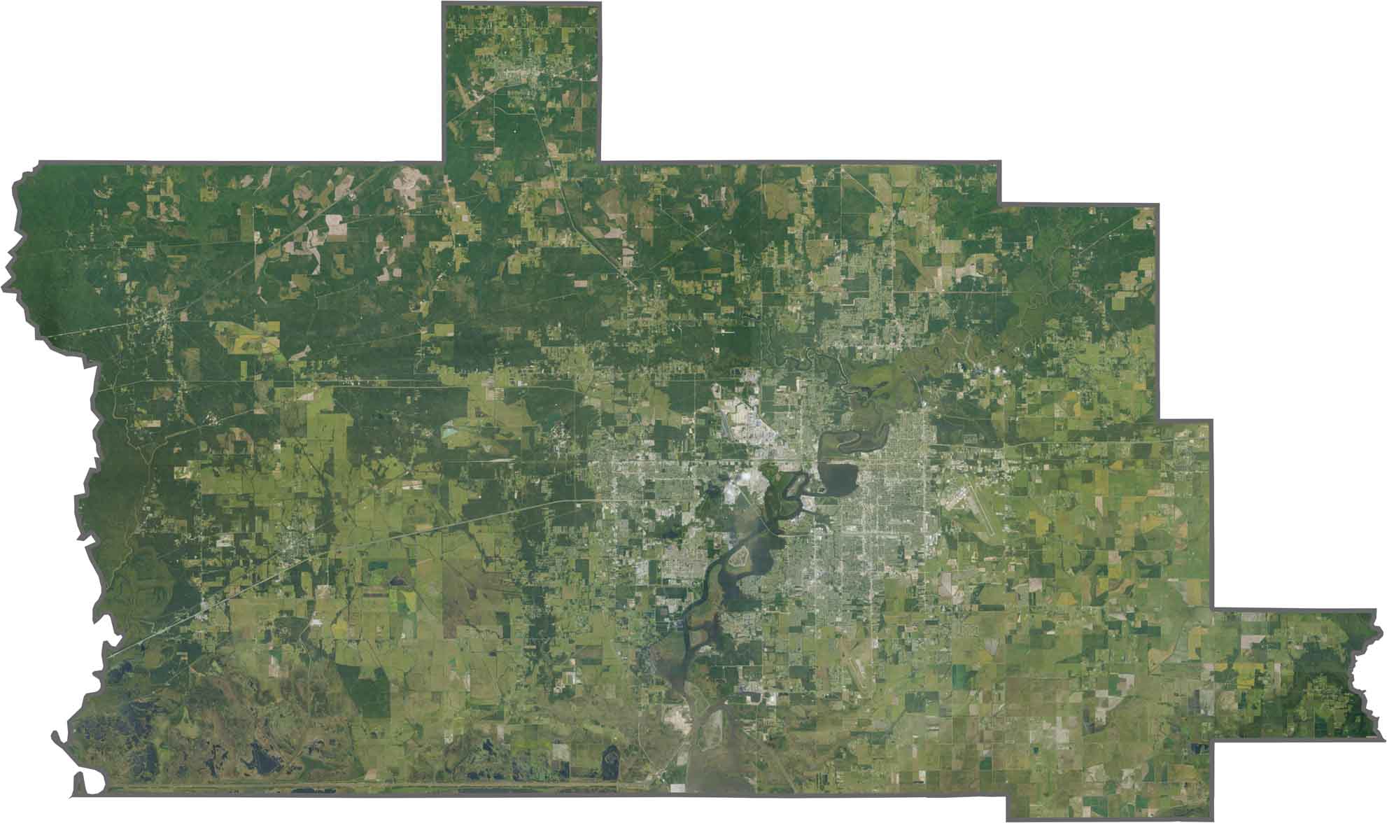
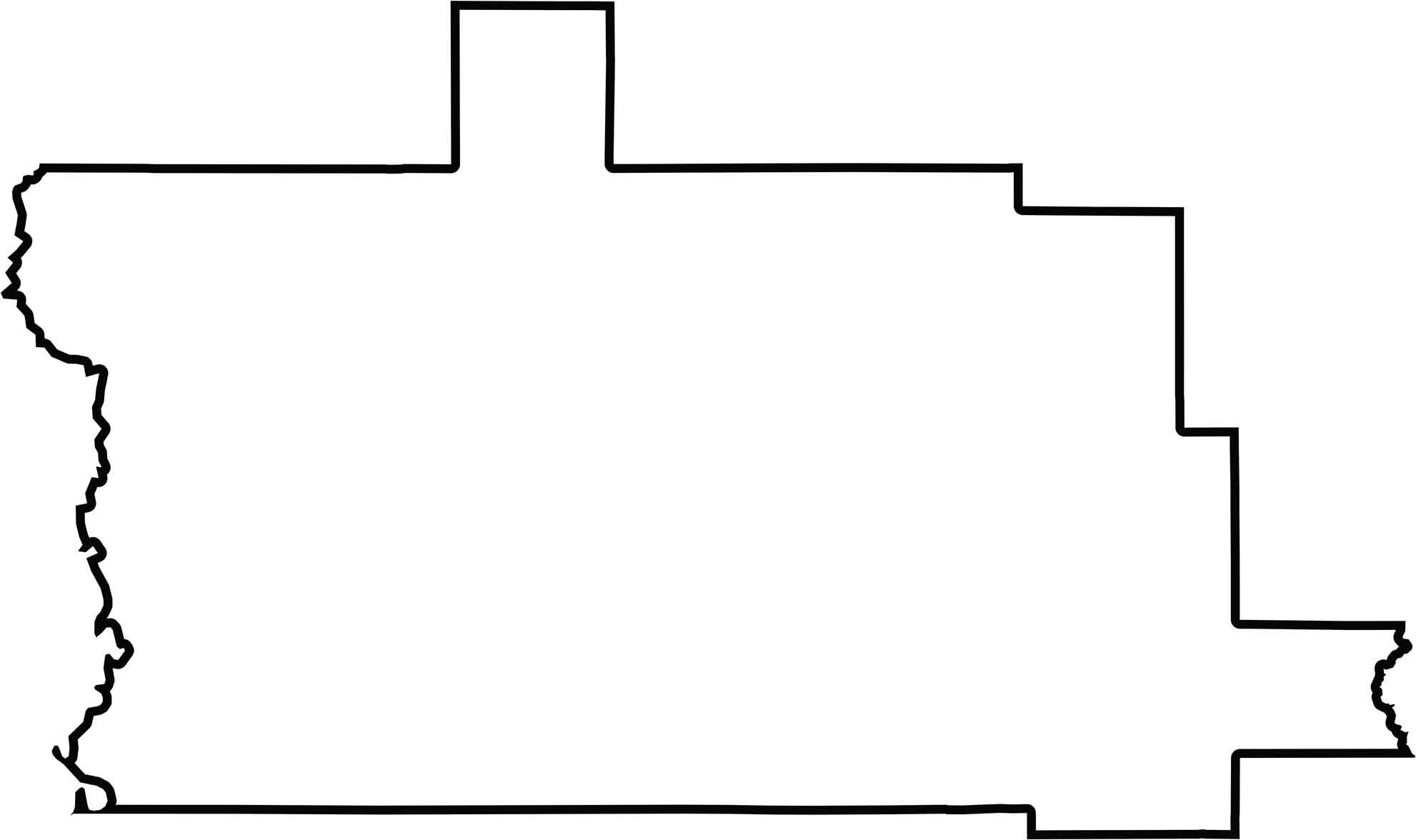
OUTLINE MAP
Calcasieu Parish Blank Map
Calcasieu curves along the Sabine River, bordering Texas. Marshes blur its southern edges, while Jefferson Davis and Cameron parishes complete its shape.
Neighboring Parishes
Here are the 5 neighboring parishes of Calcasieu Parish:


Louisiana Parish Map

In Louisiana, you’ll taste it in the hot sauce and hear it in the midnight blues. Laissez les bon temps rouler? Try one of our Louisiana parish maps to explore. Come for the beignets. Stay for the bayou.