Collin County Map, Texas

Collin County Map Collection


We allow you to use our Collin County map. Attribution is required.
Collin County, Texas

Life in Collin County moves fast, especially compared to rural Texas. It’s part of the Dallas-Fort Worth metroplex, right in the northeast part of Texas. Plano and McKinney are the big cities here.
Tech companies love this place. The population has more than doubled since 2000. Good schools draw families in droves. Traffic can be a nightmare. But the job market? It’s booming.
This county is growing like crazy. You’ll find everything from urban sprawl to quiet country roads. It’s a mix of old and new Texas. The food scene is killer. And if you like shopping, you’re in luck.
| Category | Details |
|---|---|
| County Name | Collin County |
| County Seat | McKinney |
| Population | Approximately 1,150,000 |
| Cities, Towns, and Communities | McKinney, Plano, Allen, Frisco, Wylie, Anna, Celina, Prosper, Princeton |
| Interstates and Highways | U.S. Highway 75, U.S. Highway 380, State Highway 121, State Highway 289 |
| FIPS Code | 48-085 |
| Total Area (Land and Water) | 886 square miles (841 sq mi land, 45 sq mi water) |
| Adjacent Counties (and Direction) | Grayson County (North), Fannin County (Northeast), Hunt County (East), Rockwall County (Southeast), Dallas County (South), Denton County (West) |
| Time Zone | Central Time Zone (CST) |
| State | Texas |
| Coordinates | 33°11’N, 96°37’W |
| Etymology | Named after Collin McKinney, a signer of the Texas Declaration of Independence |
| Major Landmarks | Arbor Hills Nature Preserve, Heard Natural Science Museum & Wildlife Sanctuary, Historic Downtown McKinney |
| Website | Collin County Website |
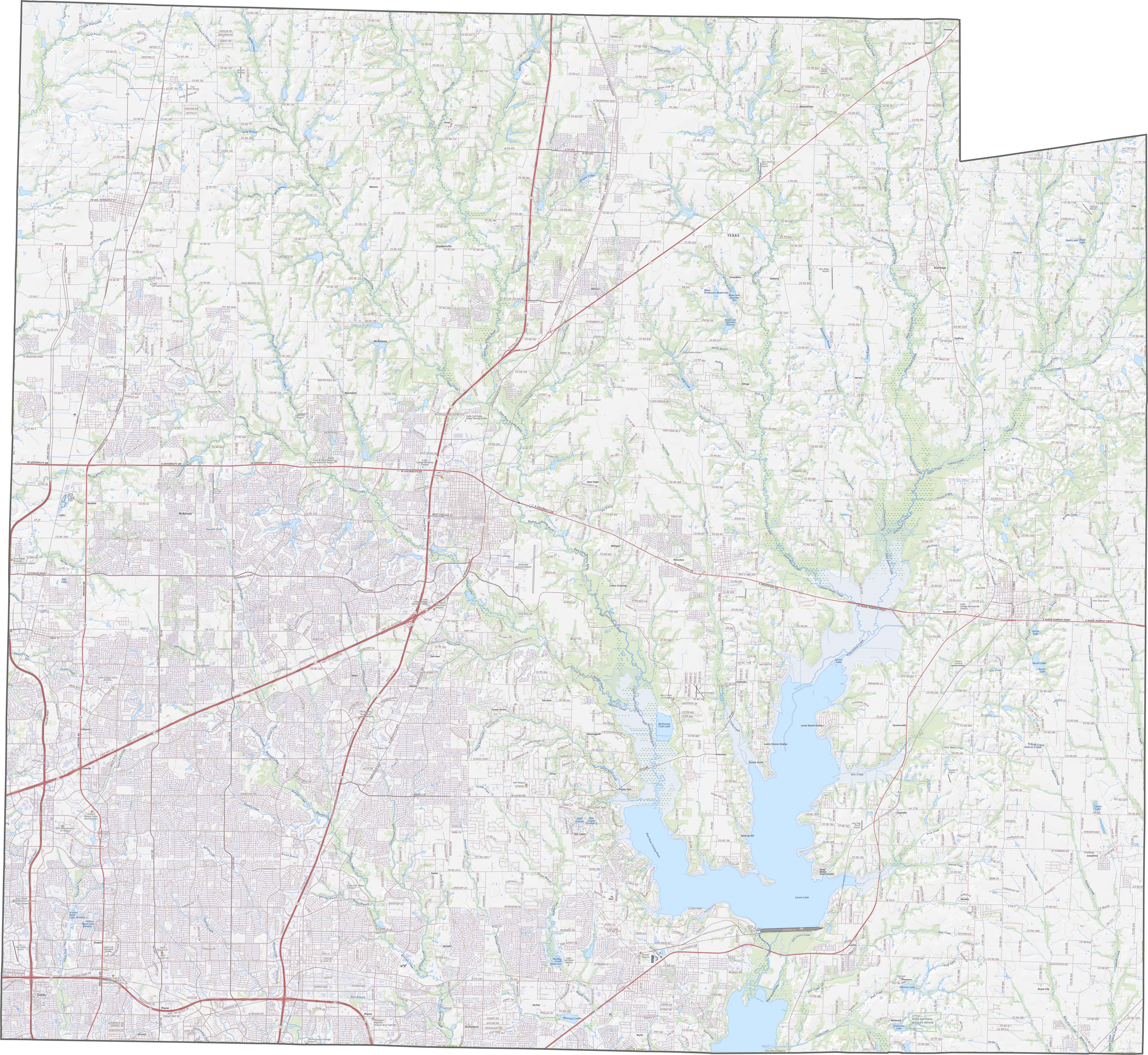
TRANSPORTATION MAP
Collin County Road Map
The highway system here is structured but expanding fast. Roads form a grid in many areas, including U.S. Highway 75 and 380. You can explore each route in our road map below using our zoom tool.
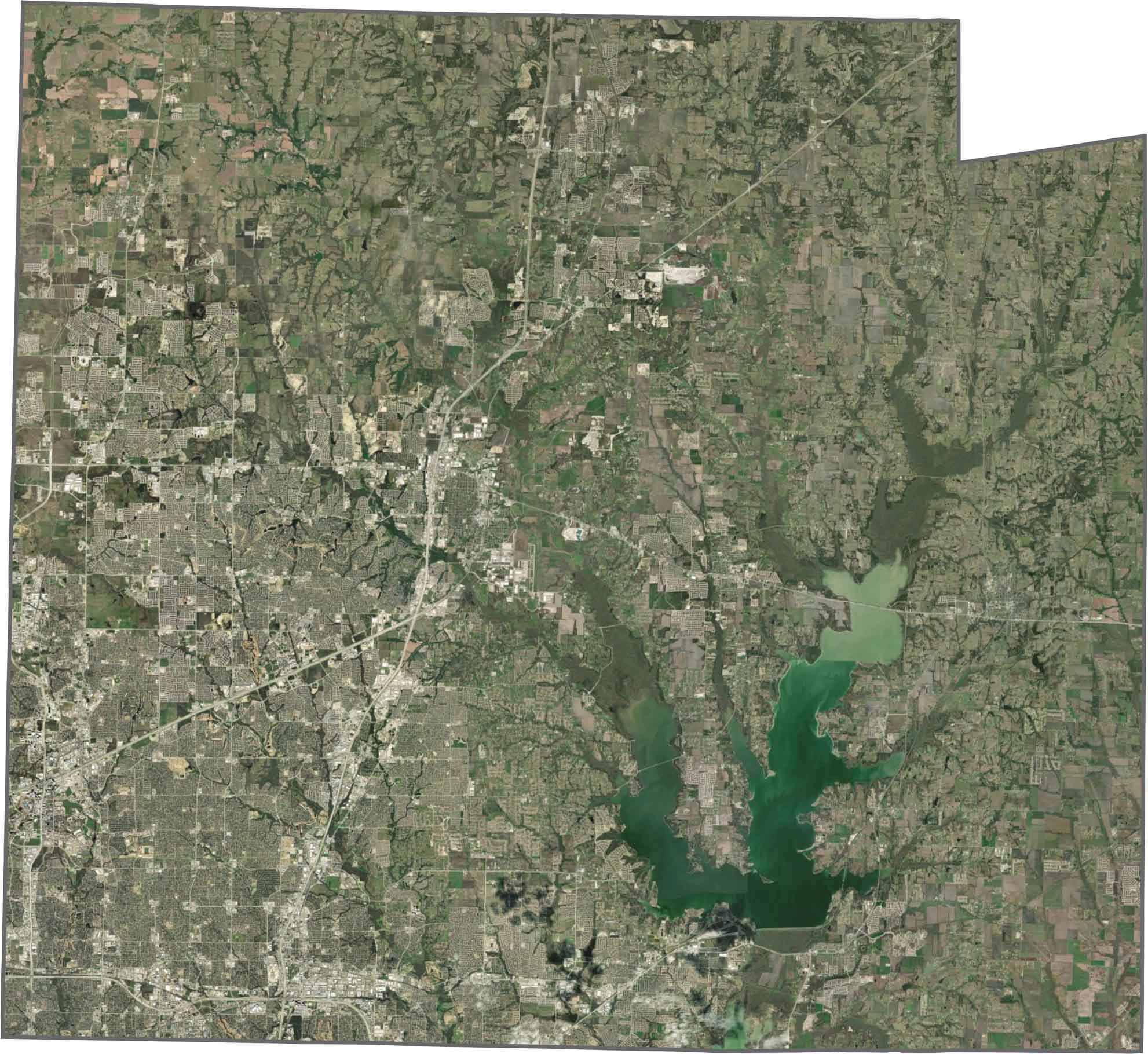
SATELLITE IMAGERY
Collin County Satellite Map
From above, dense developments stack up near the southern edge, especially around Plano and McKinney. But north of that, the pattern breaks with farms, fields, and green spaces. Creeks and small lakes scatter across the landscape.
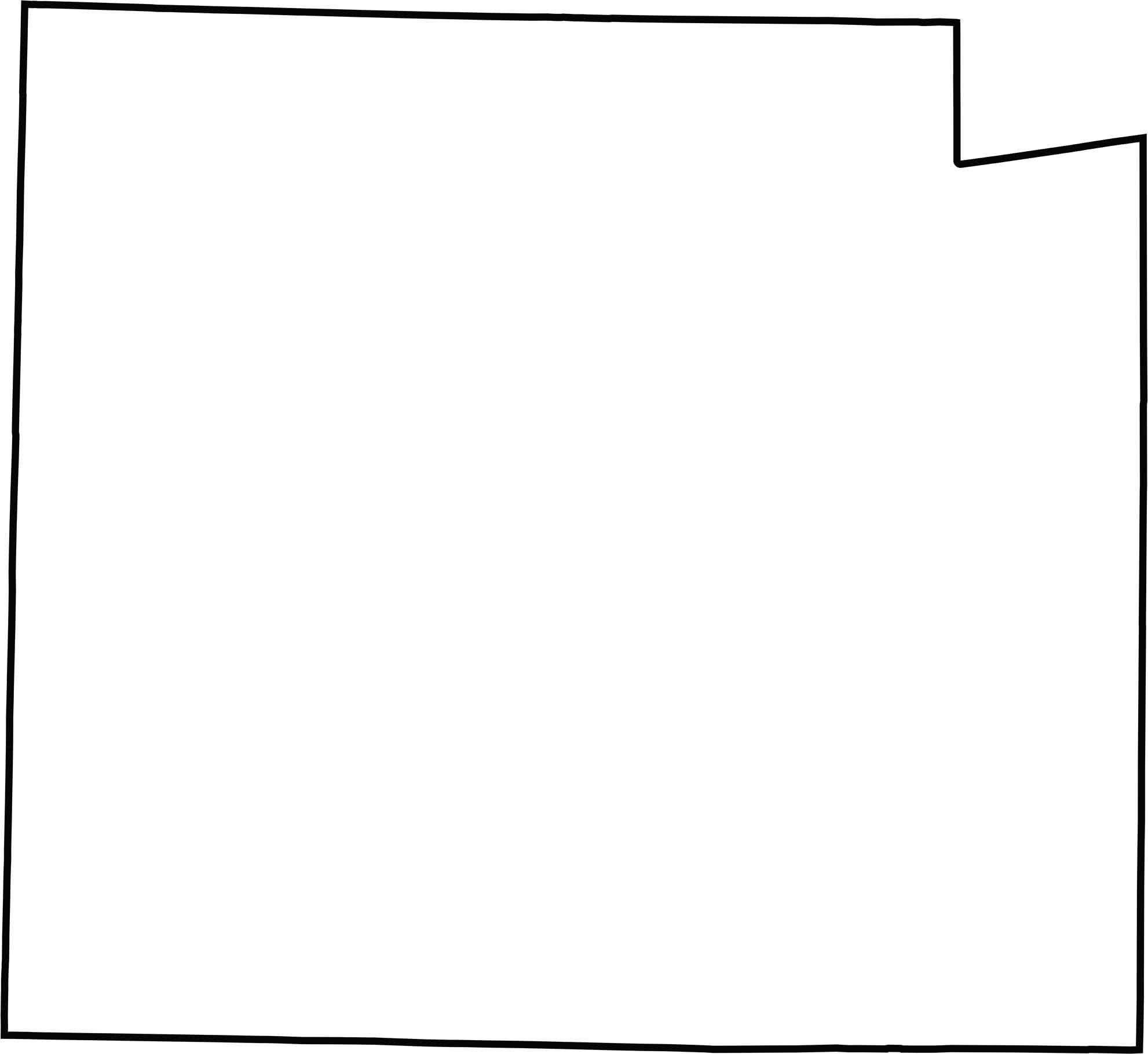
OUTLINE MAP
Collin County Blank Map
Collin County has very boxy and rectangular shape. Its borders are clean and mostly survey-drawn. There’s no state border here, just neighboring counties on all sides.
Neighboring Counties
Here are the 6 neighboring counties of Collin County:


Texas County Map

254 legendary Texas county maps. From the Panhandle to the Rio Grande, we’ve got the Lone Star State mapped. That means more rodeos, honky-tonk, and Texas BBQ.