Comal County Map, Texas

Comal County Map Collection

We allow you to use our Comal County map. Attribution is required.
Comal County, Texas

Comal County sits right between San Antonio and Austin. It’s in the Texas Hill Country, and it’s gorgeous. New Braunfels is the biggest city – a place with strong German roots.
The Guadalupe and Comal Rivers run through here. Tubing is practically a religion in the summer. Schlitterbahn, the famous water park, calls this place home. The county is growing fast as people discover its charms.
Natural Bridge Caverns is a big tourist draw. So is Gruene Hall, the oldest dance hall in Texas. The mix of small-town feel and big-city amenities is hard to beat. Just watch out for the occasional flash flood. Those hills can funnel water pretty quick.
| Category | Details |
|---|---|
| County Name | Comal County |
| County Seat | New Braunfels |
| Population | Approximately 180,000 |
| Cities, Towns, and Communities | New Braunfels, Bulverde, Garden Ridge, Spring Branch, Canyon Lake |
| Interstates and Highways | Interstate 35, U.S. Highway 281, State Highway 46 |
| FIPS Code | 48-091 |
| Total Area (Land and Water) | 575 square miles (559 sq mi land, 16 sq mi water) |
| Adjacent Counties (and Direction) | Hays County (North), Blanco County (Northwest), Guadalupe County (Southeast), Bexar County (Southwest), Kendall County (West) |
| Time Zone | Central Time Zone (CST) |
| State | Texas |
| Coordinates | 29°48’N, 98°16’W |
| Etymology | Named after the Comal River, which runs through the county |
| Major Landmarks | Guadalupe River State Park, Natural Bridge Caverns, Schlitterbahn Waterpark |
| Website | Comal County Website |
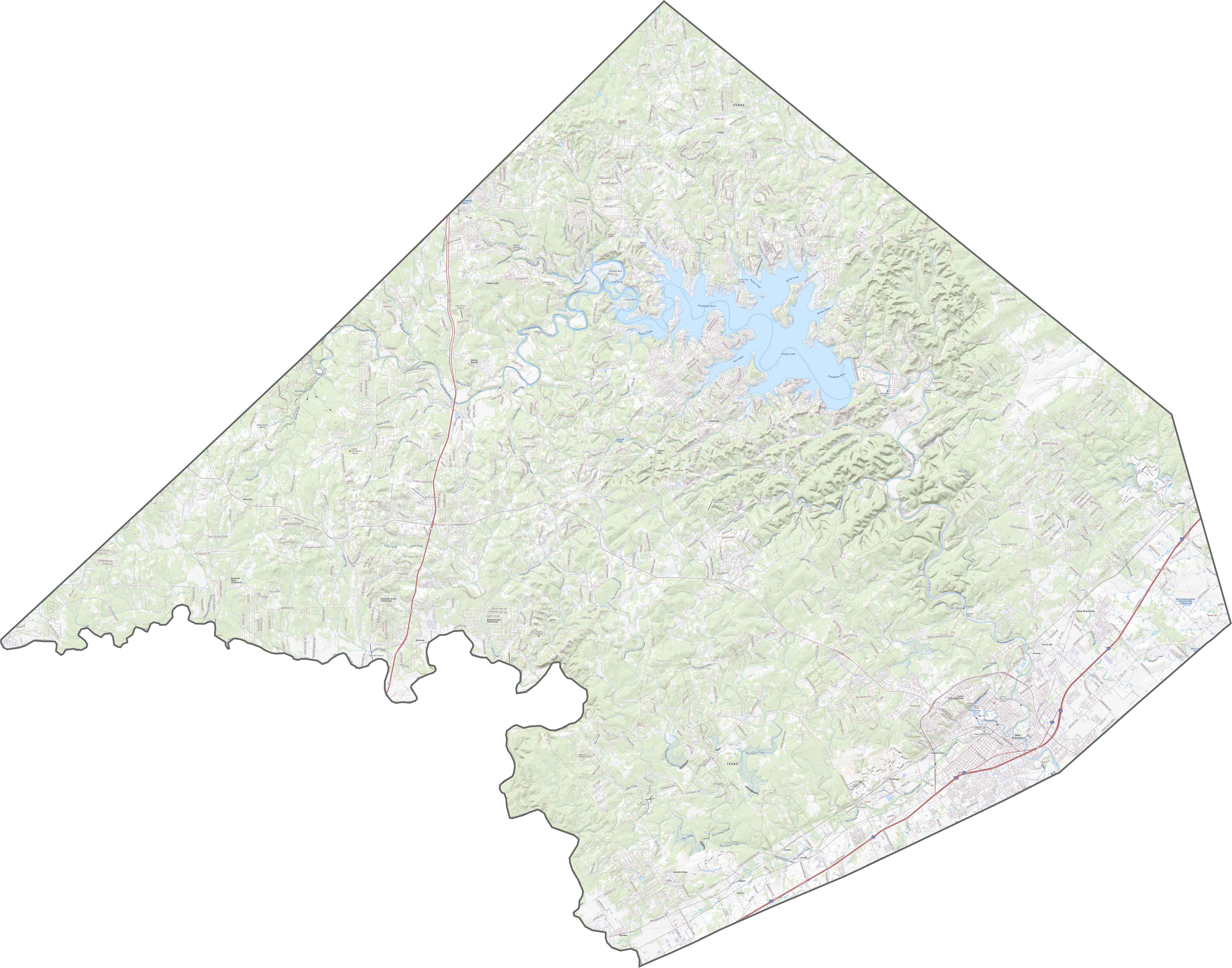
TRANSPORTATION MAP
Comal County Road Map
Unlike the neat grids elsewhere in Texas, many highways here curve, climb, and dip. Roads follow old paths and natural ridges. I-35 travels along the southeast boundary. For a better sense of our road map, check out our zoom tool.
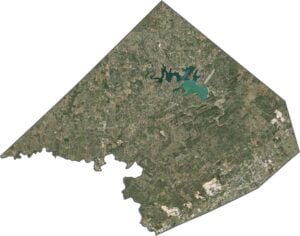
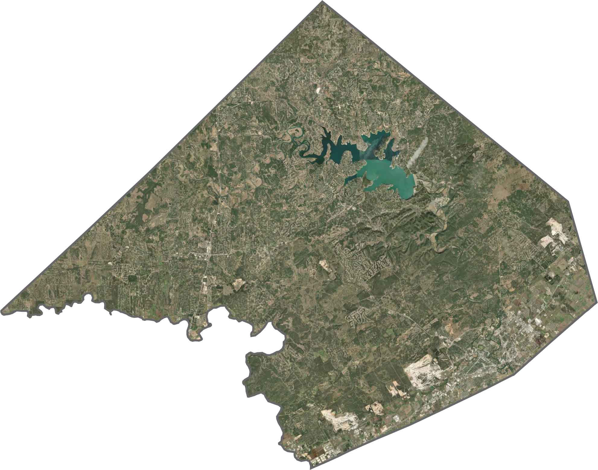
SATELLITE IMAGERY
Comal County Satellite Map
Water features stand out in Comal County, especially Canyon Lake. Central parts are more rugged and covered in scrubby green. Toward the east, it levels out into more developed zones like New Braunfels.
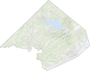
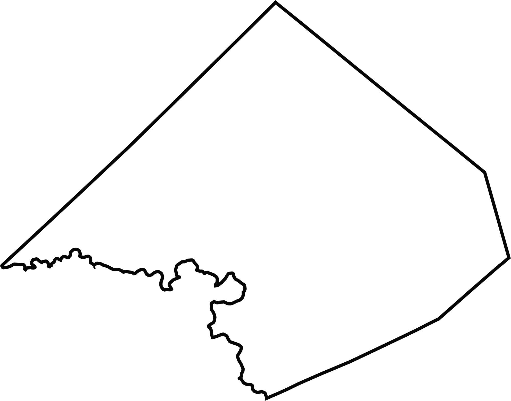
OUTLINE MAP
Comal County Blank Map
Comal County has a compact, almost boxy shape. The only exception is the southwest edge, which is much more curvey.
Neighboring Counties
Here are the 5 neighboring counties of Comal County:


Texas County Map

254 legendary Texas county maps. From the Panhandle to the Rio Grande, we’ve got the Lone Star State mapped. That means more rodeos, honky-tonk, and Texas BBQ.