Fairfax County Map, Virginia

Fairfax County Map Collection


We allow you to use our Fairfax County map. Attribution is required.
Fairfax County, Virginia

Fairfax County is a hub of activity, just outside Washington D.C. It’s one of Virginia’s most populous and diverse counties. You’ll find everything from government workers to tech entrepreneurs here.
The county has great schools, which attract many families. Tysons Corner is a major shopping and business center. Traffic can be a pain, but that comes with the territory.
History’s not forgotten though. George Washington’s Mount Vernon is a big draw. Fairfax has tons of parks and trails for when you need a break from the urban bustle. It’s expensive to live here, but many think it’s worth it.
| Category | Details |
|---|---|
| County Name | Fairfax County |
| County Seat | Fairfax |
| Population | Approximately 1,170,000 |
| Cities, Towns, and Communities | Reston, Herndon, McLean, Annandale, Springfield, Centreville, Chantilly |
| Interstates and Highways | I-66, I-95, I-495, US-50, US-1 |
| FIPS Code | 51-059 |
| Total Area (Land and Water) | 407 sq mi (Land: 391 sq mi; Water: 16 sq mi) |
| Adjacent Counties (and Direction) | Alexandria City (East), Arlington County (East), Charles County, Maryland (Southeast), Fairfax City (Enclaved), Falls Church City (East), Loudoun County (Northwest), Montgomery County, Maryland (North), Prince George’s County, Maryland (East), Prince William County (Southwest) |
| Time Zone | Eastern Time Zone (ET) |
| State | Virginia |
| Coordinates | 38.8450° N, 77.3190° W |
| Etymology | Named after Thomas Fairfax, 6th Lord Fairfax of Cameron |
| Major Landmarks | Great Falls Park, Wolf Trap National Park for the Performing Arts, Tysons Corner Center, Mount Vernon |
| Website | Fairfax County Website |
TRANSPORTATION MAP
Fairfax County Road Map
Fairfax County is crisscrossed with roads, from local streets to high-speed expressways. I-495 forms a near-circle around the D.C. metro area, cutting right through. Although traffic is constant, roads are well connected. Use our zoom tool to see them all.

SATELLITE IMAGERY
Fairfax County Satellite Map
In our satellite map, you’ll see that Fairfax is pretty busy. Dense neighborhoods stretch in every direction, but mostly in the east. Burke Lake stands out in the south.

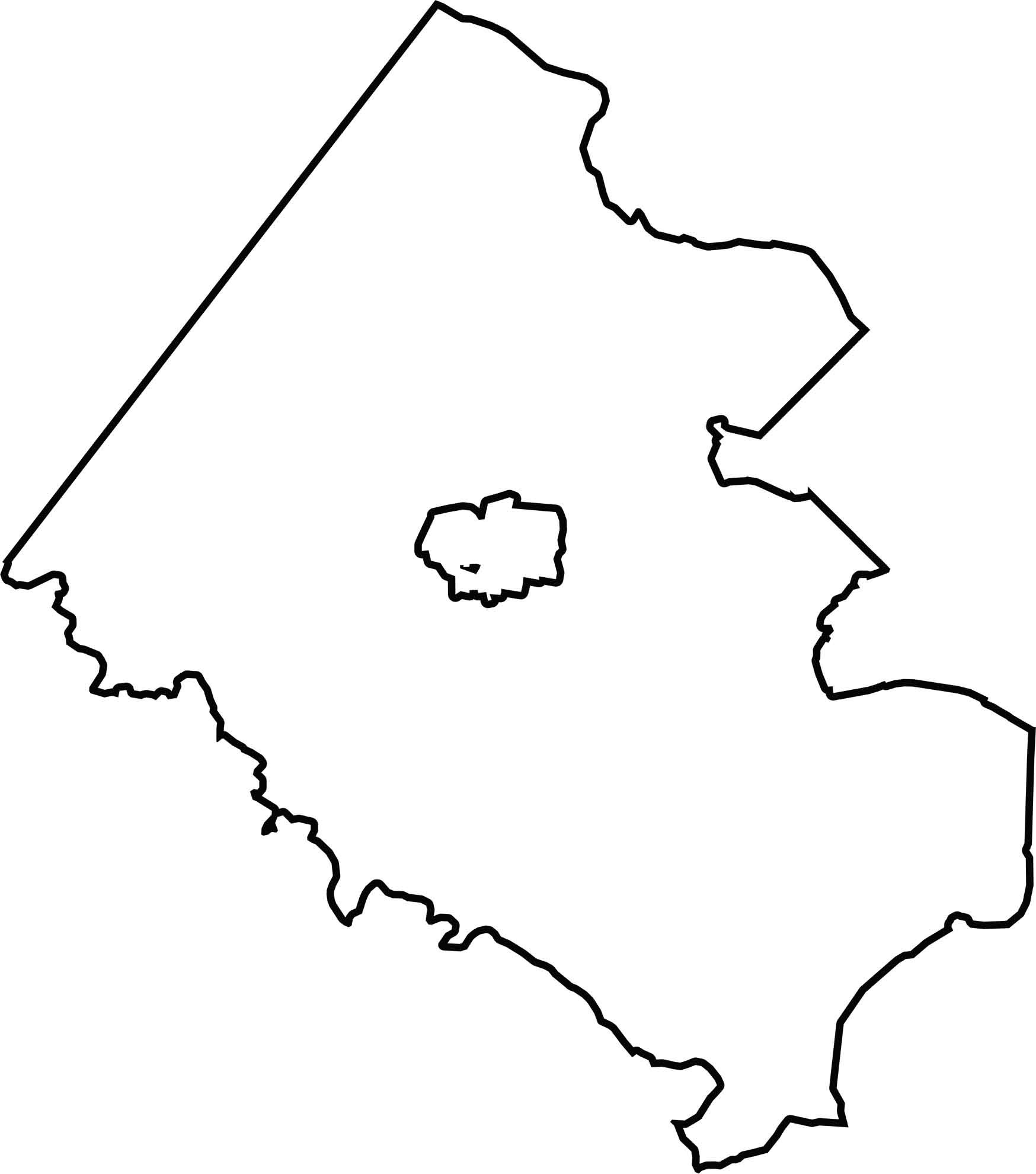
OUTLINE MAP
Fairfax County Blank Map
Fairfax County’s shape is irregular, like a wedge. The Potomac River helps define its eastern border and separates it from Maryland. Fairfax City is cut out right in the center.
Neighboring Counties
Here are the 9 neighboring counties of Fairfax County:


Virginia County Map

The original cool. Virginia’s 95 counties mix old-school roots with mountain roads with Civil War footsteps. One county’s got peanuts, another has presidents. Some lean country, others lean capital.