Charles County Map, Maryland

Charles County Map Collection

We allow you to use our Charles County map. Attribution is required.
Charles County, Maryland

Southern Maryland’s got a gem called Charles County, about an hour’s drive from DC. Its western border is the Potomac River.
You’ll find some serious natural beauty here. We’re talking 300 miles of shoreline and tons of parks. Fishing, boating, hiking. Take your pick.
The county seat is La Plata. It has a small-town vibe but don’t let that fool you. It’s not all perfect though. Traffic can be a pain, especially for folks commuting to the city. But for many, the trade-off is worth it.
| Category | Details |
|---|---|
| County Name | Charles County |
| County Seat | La Plata |
| Population | 175,000 |
| Cities, Towns, and Communities | La Plata, Waldorf, Port Tobacco, Indian Head, Hughesville, Bryans Road, White Plains |
| Interstates and Highways | MD Route 5, MD Route 228, MD Route 301, US Route 301 |
| FIPS Code | 24-017 |
| Total Area (Land and Water) | 643.8 square miles (land: 458.4 sq mi, water: 185.4 sq mi) |
| Adjacent Counties (and Direction) | Prince George’s County (North), Fairfax County, Virginia (Northwest), Calvert County (East), Stafford County, Virginia (West), Prince William County, Virginia (West), St. Mary’s County (Southeast), Westmoreland County, Virginia (Southeast), King George County, Virginia (South) |
| Time Zone | Eastern Time Zone (EST) |
| State | Maryland |
| Coordinates | 38.54°N, 76.95°W |
| Etymology | Named in honor of Charles Calvert, 3rd Baron Baltimore, the second proprietor of Maryland. |
| Major Landmarks | Historic Port Tobacco Village, Thomas Stone National Historic Site, Indian Head Naval Surface Warfare Center |
| Website | Charles County Website |
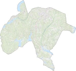
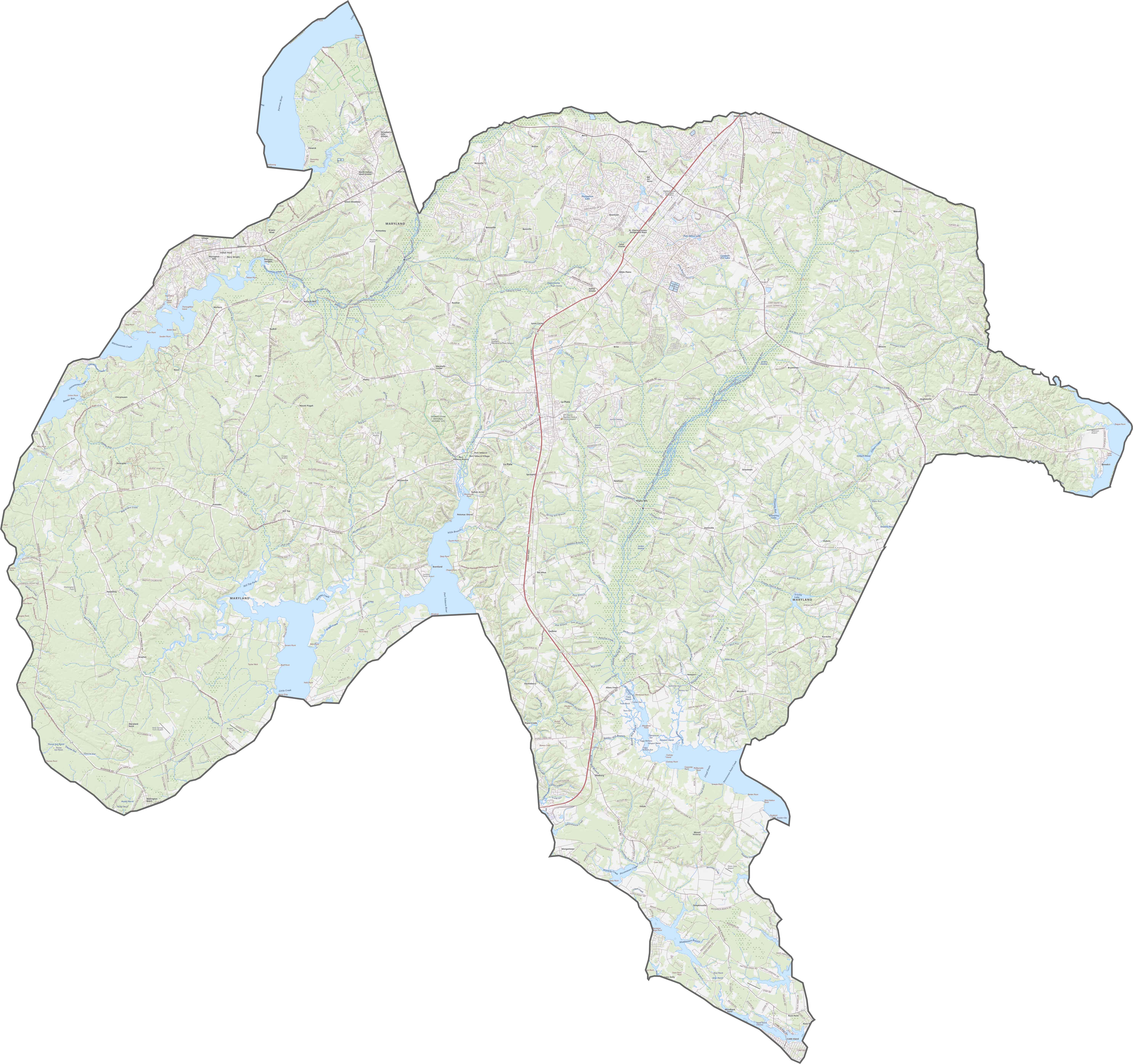
TRANSPORTATION MAP
Charles County Road Map
Route 301 serves as the primary highway through Charles County, running north-south. Route 228 and Route 5 provide east-west connections to neighboring counties. The county lacks interstate highways but has good connections to Washington D.C. via Route 210.
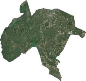
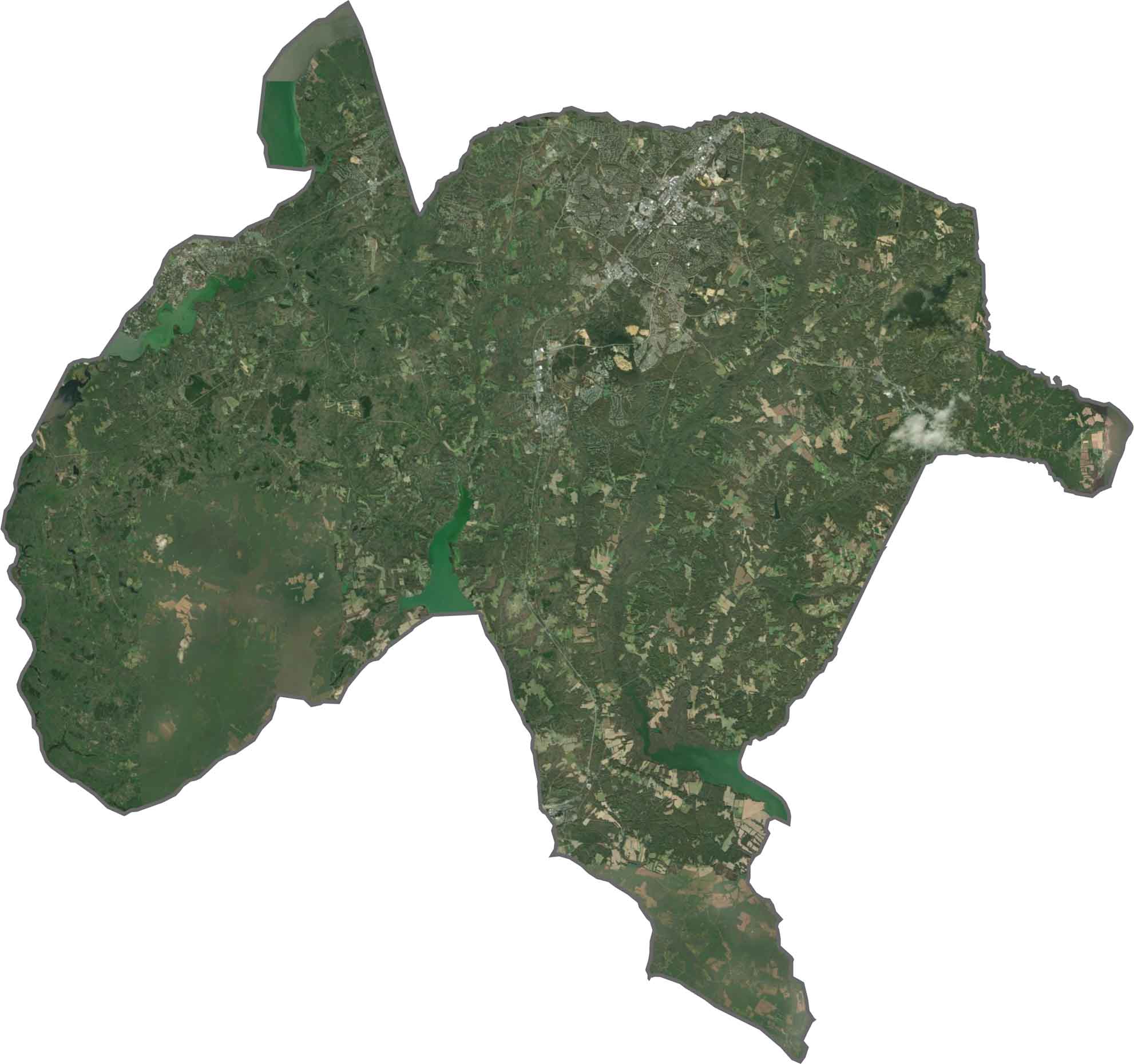
SATELLITE IMAGERY
Charles County Satellite Map
Our satellite map reveals dense forest cover in western areas and more development in the northeast. The Potomac River shoreline shows extensive tidal wetlands and small inlets. Waldorf appears as the most developed area, with the highest road density.
OUTLINE MAP
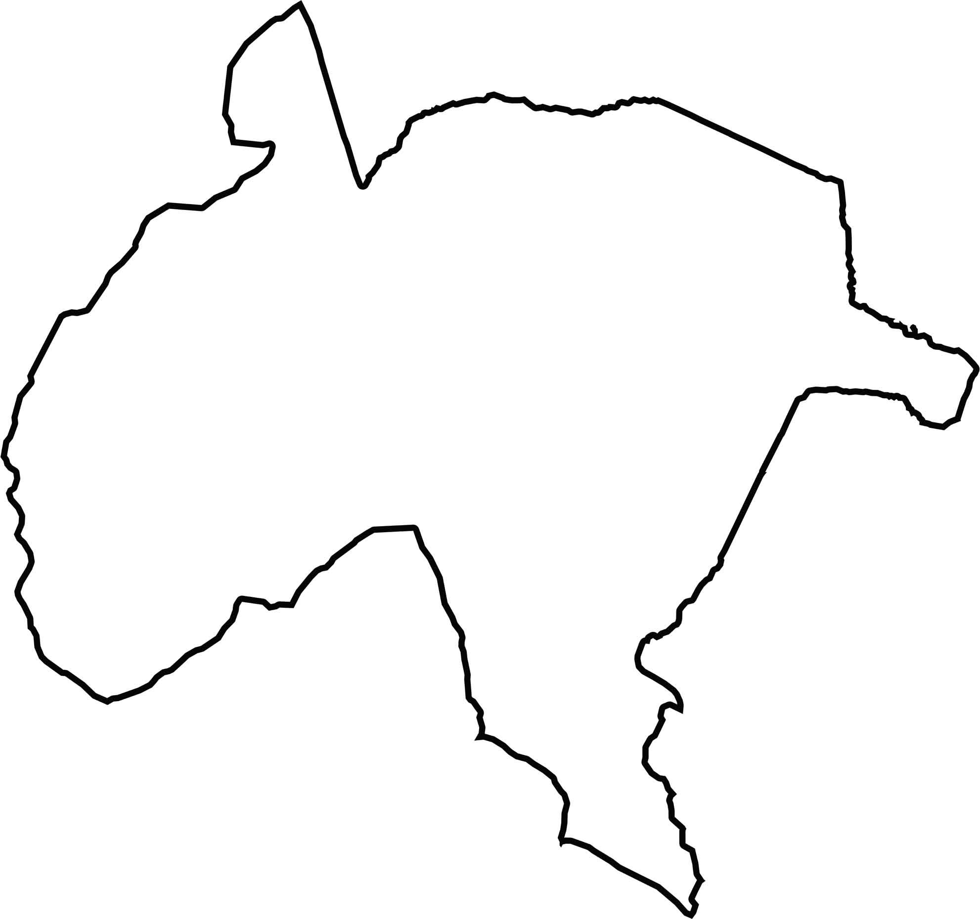
Charles County Blank Map
Charles County forms a triangular shape bounded by the Potomac River on the entire west side. It shares land borders with Prince George’s County to the north and St. Mary’s County to the south. The county’s irregular shoreline includes several points extending into the river.
Neighboring Counties
Here are the 8 neighboring counties of Charles County:


Maryland County Map

With 23 counties and Baltimore City, Maryland gives you a distinct experience in every corner. City life, small towns, and outdoor adventures all come together. Learn more in our Maryland county maps.