Moore County Map, North Carolina

Moore County Map Collection

We allow you to use our Moore County map. Attribution is required.
Moore County, North Carolina

Moore County is in the Sandhills region of central North Carolina. Golfers come here year-round. Pinehurst, its most famous village, has hosted multiple U.S. Open championships. The area is known as the “Home of American Golf.”
But there’s more than just fairways and greens. The county has a thriving equestrian community. Horseback riding is popular on the county’s sandy trails.
Southern Pines offers shops and restaurants. Local farms produce peaches, blueberries, and other fruits. Moore County has both small-town living and world-class amenities.
| Category | Details |
|---|---|
| County Name | Moore County |
| County Seat | Carthage |
| Population | Approximately 110,000 |
| Cities, Towns, and Communities | Carthage, Pinehurst, Southern Pines, Aberdeen |
| Interstates and Highways | U.S. Route 15, U.S. Route 501 |
| FIPS Code | 37-125 |
| Total Area | 709 square miles (land and water) |
| Adjacent Counties | Randolph County (Northwest), Chatham County (North), Lee County (Northeast), Montgomery County (West), Harnett County (East), Richmond County (Southwest), Hoke County (South), Scotland County (South), Cumberland County (Southeast) |
| Time Zone | Eastern Time Zone |
| State | North Carolina |
| Coordinates | 35.3616° N, 79.3870° W |
| Etymology | Named after Alfred Moore, a captain in the Revolutionary War |
| Major Landmarks | Pinehurst Resort, Sandhills Community College |
| Website | Moore County Website |
TRANSPORTATION MAP
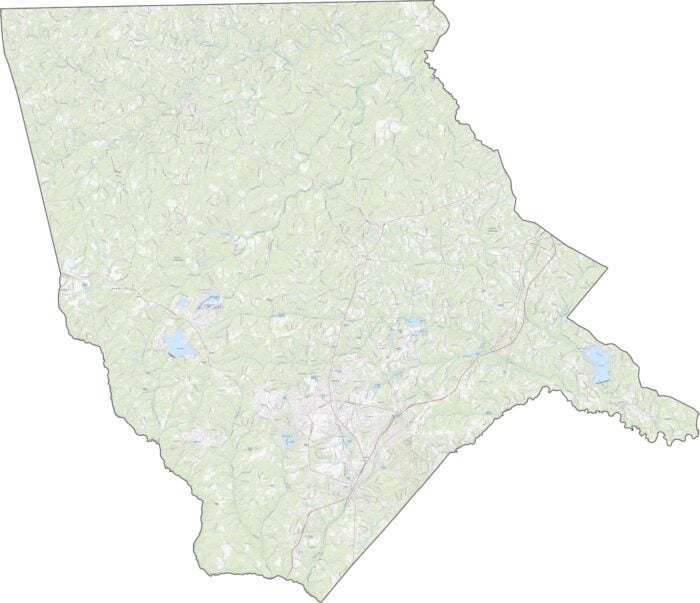
Moore County Road Map
Pine forests don’t stop the steady roads. U.S. 1 is the spine here, running north-south and pulling traffic through Southern Pines. NC 24 and 27 cut across the center, while U.S. 15 snakes up from Pinehurst. Though there’s no interstate, roads are smooth and well-kept. For a better view of the road network, check out our zoom tool below.
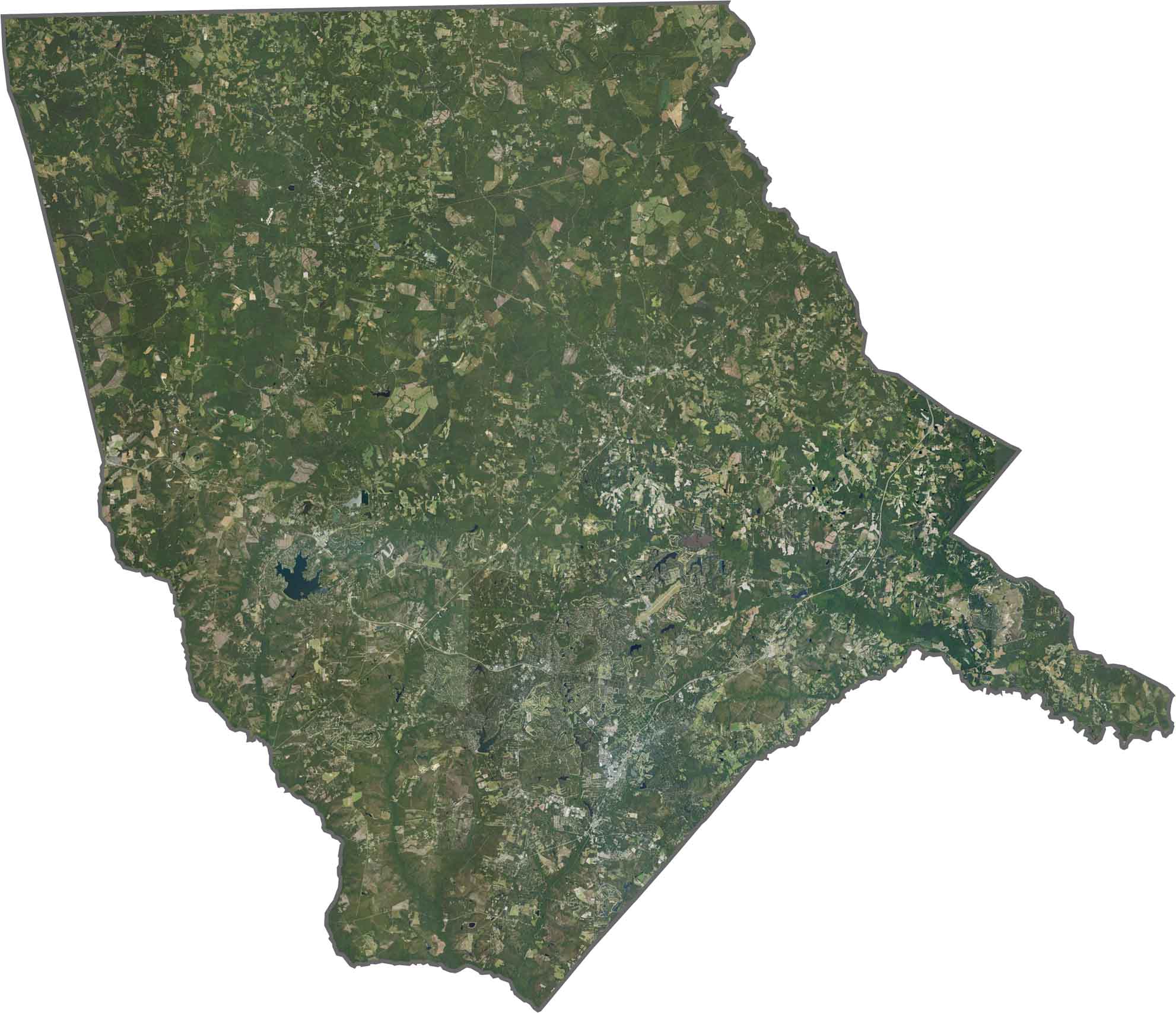
SATELLITE IMAGERY
Moore County Satellite Map
Forests cover much of the county, especially north of U.S. 1. Pinehurst and Southern Pines pop up as tidy gray clusters among the green. Despite development, the tree canopy remains thick.
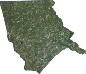
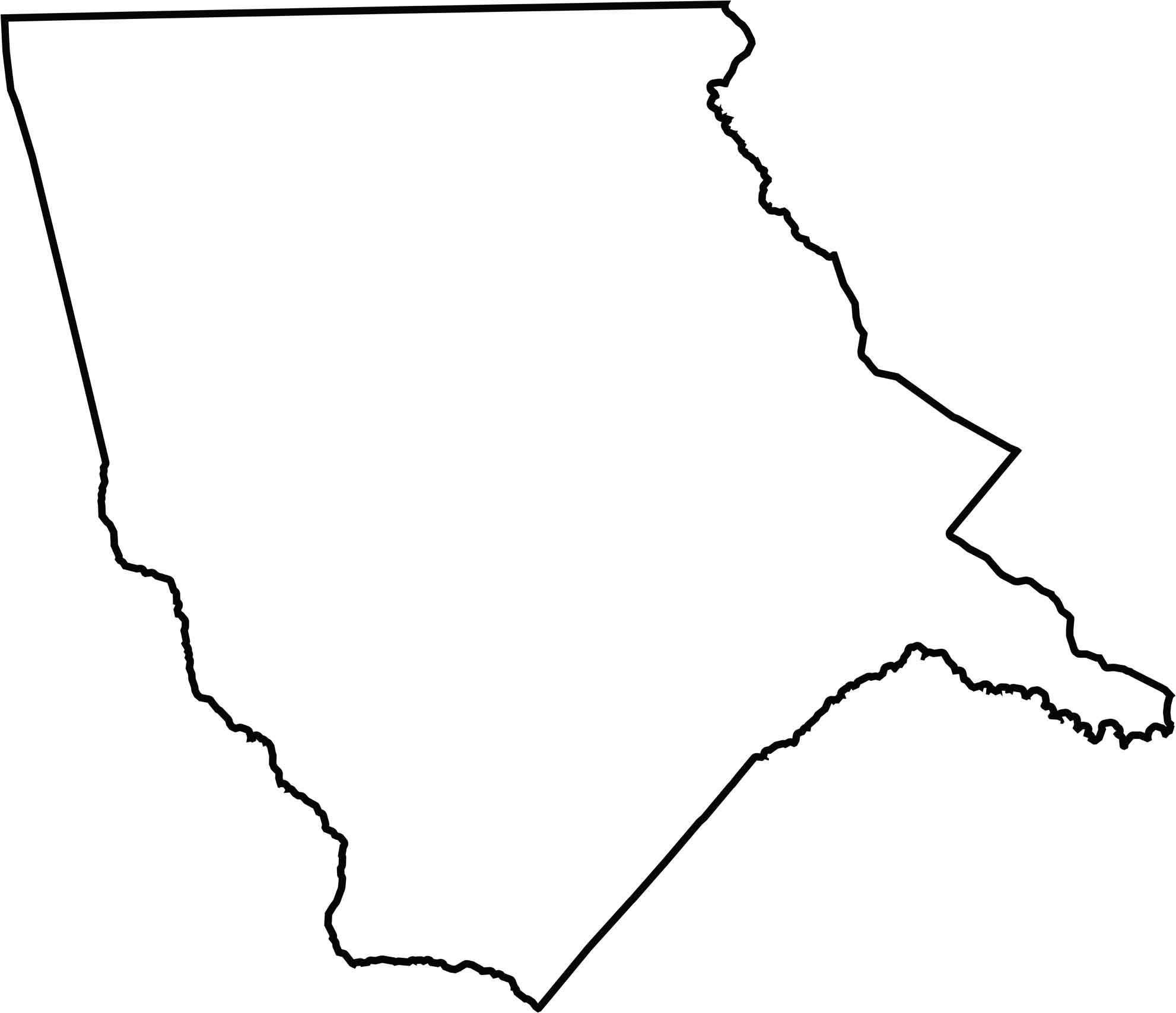
OUTLINE MAP
Moore County Blank Map
Moore County forms an irregular, slanted shape. No state lines, but lots of county neighbors. Little River forms part of the southeast border.
Neighboring Counties
Here are the 9 neighboring counties of Moore County:


North Carolina County Map

North Carolina’s 100 counties don’t all play by the same rules. Some lean into beach life, others into barbecue or bluegrass. Sometimes all three. You’ll find waterfalls, farmland, and NASCAR.