Snohomish County Map, Washington

Snohomish County Map Collection


We allow you to use our Snohomish County map. Attribution is required.
Snohomish County, Washington

The Pacific Northwest has its gems, and Snohomish County is one of them. Just north of Seattle, it stretches from Puget Sound to the Cascade Mountains. Talk about variety. You’ve got bustling suburbs, quiet farmland, and rugged wilderness all in one place.
Everett is the county seat. It’s a blue-collar town with a growing arts scene. Boeing’s massive factory there churns out planes like clockwork. Farms still cover the landscape, especially around Arlington and Snohomish.
Head east and you’ll hit the Cascades. Paradise for hikers and skiers. The Skykomish and Stillaguamish rivers thread through the county, prime spots for fishing and rafting. It’s a place that’s changing fast but hasn’t lost its roots.
| Category | Details |
|---|---|
| County Name | Snohomish County |
| County Seat | Everett |
| Population | Approximately 900,000 |
| Cities, Towns, and Communities | Everett, Edmonds, Lynnwood, Marysville, Snohomish, Monroe, Bothell |
| Interstates and Highways | I-5, I-405, US-2, WA-9, WA-99 |
| FIPS Code | 53-061 |
| Total Area (Land and Water) | 2,196 sq mi (Land: 2,087 sq mi; Water: 109 sq mi) |
| Adjacent Counties (and Direction) | Skagit County (North), Chelan County (East), King County (South), Kitsap County (Southwest), Island County (West) |
| Time Zone | Pacific Time Zone (PT) |
| State | Washington |
| Coordinates | 48.0330° N, 122.1373° W |
| Etymology | Named after the Snohomish Native American tribe |
| Major Landmarks | Future of Flight Aviation Center, Tulalip Resort Casino, Wallace Falls State Park |
| Website | Snohomish County Website |
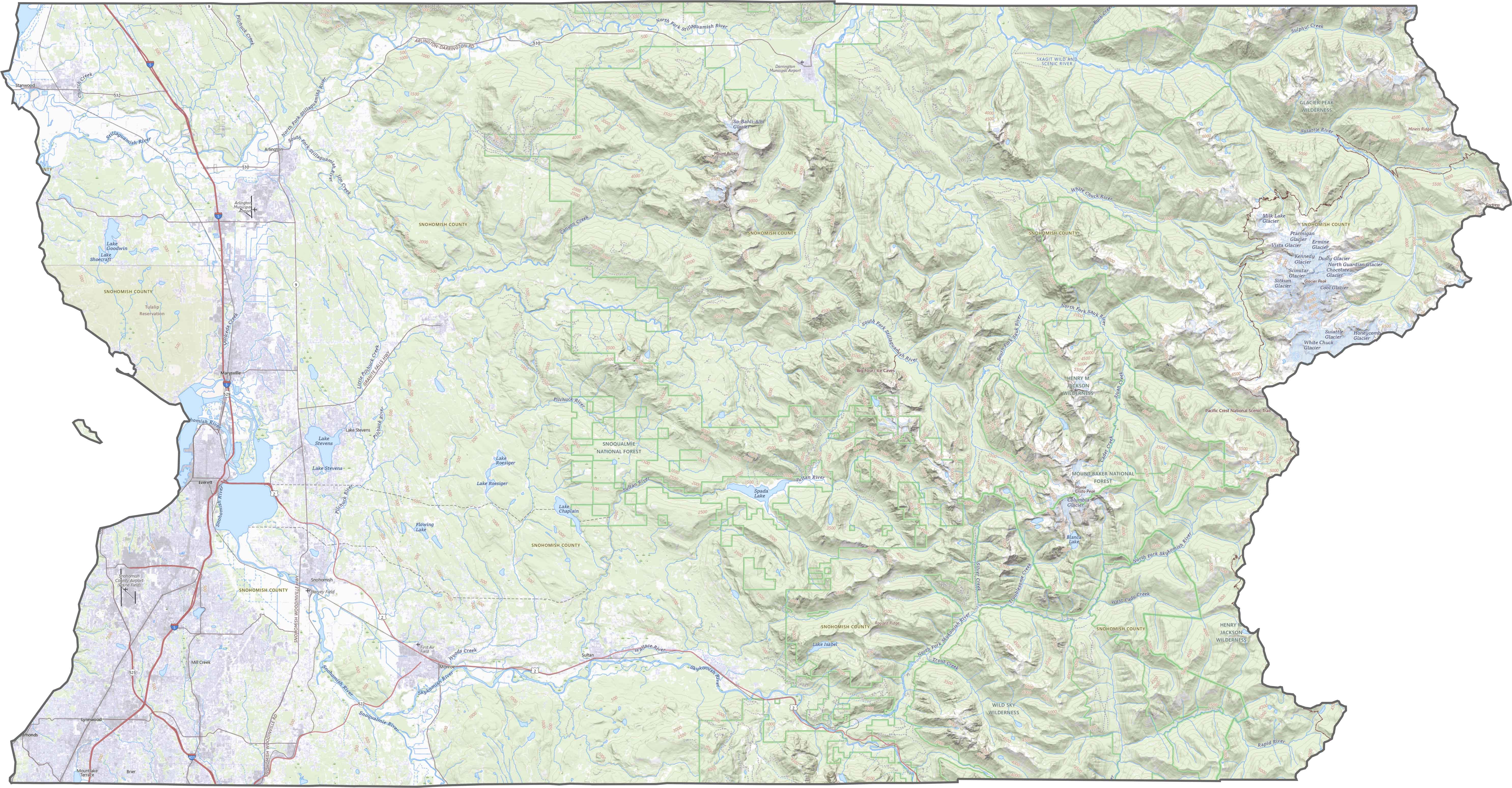
PHYSICAL MAP
Snohomish County Topographic Map
Snohomish County rolls from lowland rivers to snowy ridges. The western half is mostly flat, carved by the Snohomish and Stillaguamish rivers. But once you hit the eastern side, elevation spikes fast. Here, it’s all dense forest and high ridges.

TRANSPORTATION MAP
Snohomish County Road Map
Interstate 5 handles the bulk of the traffic, running north-south through Everett. But I-405 dips in at the southern tip, and U.S. Route 2 crosses east into the mountains. Still, many rural areas depend on two-lane highways. Use our zoom tool to spot every connection, from ferry docks to forest roads.
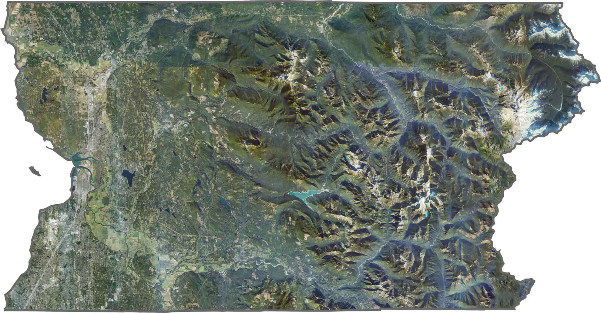
SATELLITE IMAGERY
Snohomish County Satellite Map
Everett stands out in the southwest, but there’s a ton of green across the rest of the county. Forests dominate the east, with lakes and rivers breaking up the canopy. The Cascade foothills are a clear dividing line. Past that, it’s all wilderness.
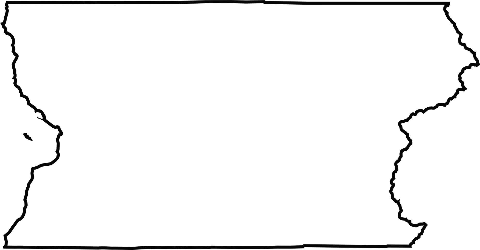
OUTLINE MAP
Snohomish County Blank Map
The county stretches long from Puget Sound to the mountain crest. The western border follows the coastline, while the eastern border zigzags along natural divides. It doesn’t border another state, but it’s wedged tightly between King and Skagit counties.
Neighboring Counties
Here are the 5 neighboring counties of Snohomish County:


Washington County Map

Seattle takes the spotlight, but the rest of Washington is where the wild still wins. From coast to mountains, Washington’s 39 counties are full of surprises. Find your favorite spot.