Talbot County Map, Maryland

Talbot County Map Collection


We allow you to use our Talbot County map. Attribution is required.
Talbot County, Maryland

Talbot County is on Maryland’s Eastern Shore. The county is famous for its smaller towns like Easton and St. Michaels.
The Chesapeake Bay and its tributaries make Talbot a prime location for boating and fishing. Chesapeake Bay Maritime Museum is here with old boats and lighthouses that you can actually walk through.
Talbot County also hosts annual events like the Waterfowl Festival for nature watching. Talbot County is the kind of place where you can unwind, explore the water, and enjoy life at a slower pace.
| Category | Details |
|---|---|
| County Name | Talbot County |
| County Seat | Easton |
| Population | 40,000 |
| Cities, Towns, and Communities | Easton, St. Michaels, Oxford, Tilghman, Trappe, Cordova, and others |
| Interstates and Highways | U.S. Route 50, Maryland Route 33, Maryland Route 565 |
| FIPS Code | 24-041 |
| Total Area (Land and Water) | 478.7 square miles (land: 267.4 sq mi, water: 211.3 sq mi) |
| Adjacent Counties (and Direction) | Queen Anne’s County (North), Dorchester County (South), Calvert County (Southwest), Caroline County (East), Anne Arundel County (West) |
| Time Zone | Eastern Time Zone (EST) |
| State | Maryland |
| Coordinates | 38.77°N, 76.07°W |
| Etymology | Named after Lady Talbot, sister of Cecil Calvert, 2nd Baron Baltimore |
| Major Landmarks | Talbot County Courthouse, Easton Airport, Chesapeake Bay Maritime Museum, St. Michaels Harbor |
| Website | Talbot County Website |
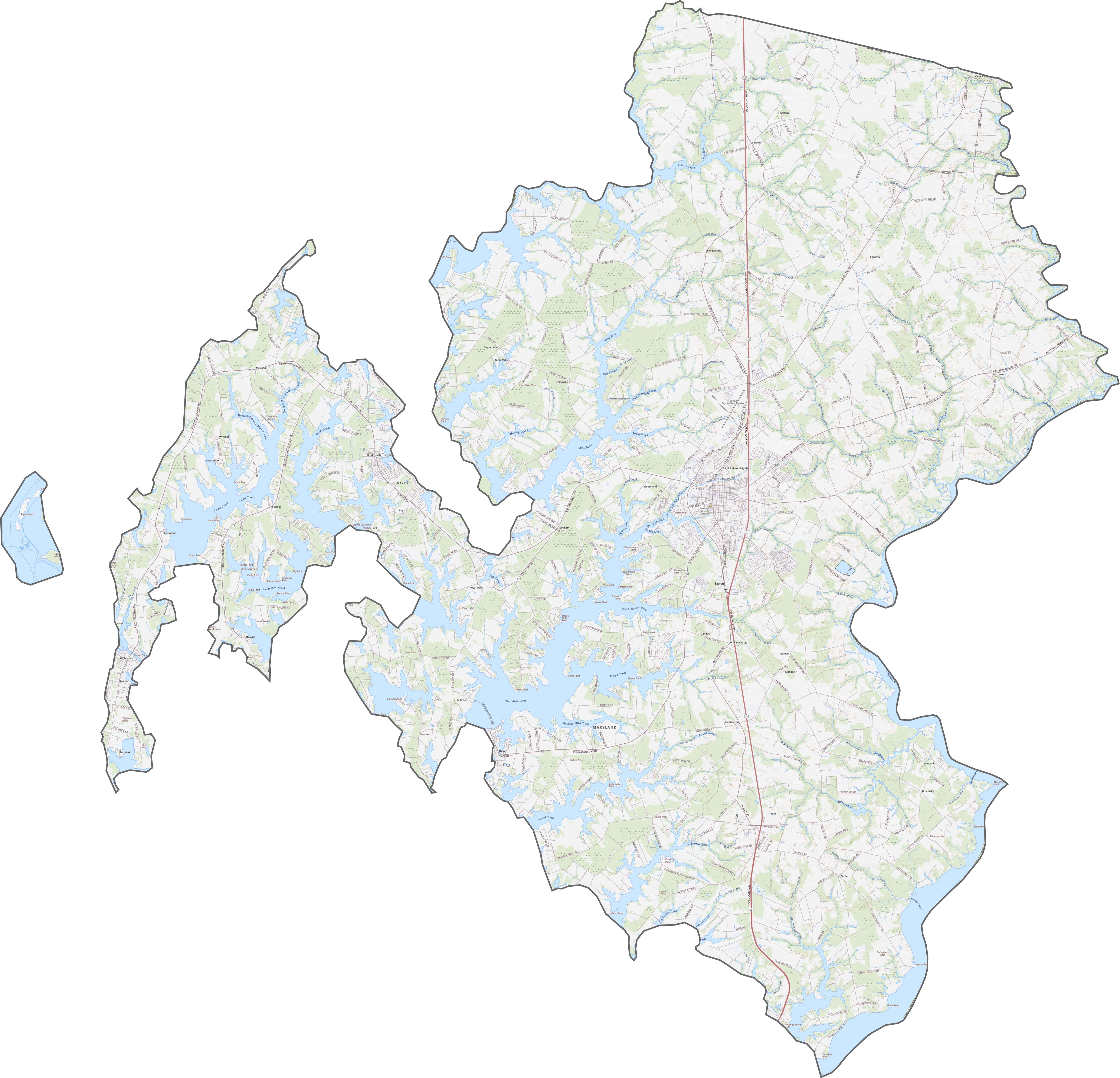
TRANSPORTATION MAP
Talbot County Road Map
Our map below shows the main highways and roads that run through Talbot County, known for its historic towns and waterfront views. U.S. Route 50 cuts across the county, linking it to Annapolis and the Bay Bridge.
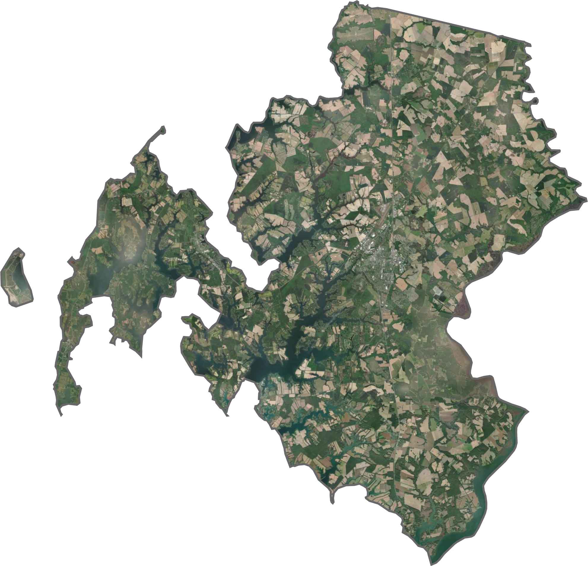
SATELLITE IMAGERY
Talbot County Satellite Map
Water occupies a lot of the county. Rivers, creeks, and bays fragment the land into narrow peninsulas. Easton appears as a developed hub, while much of the county remains wooded or farmland.
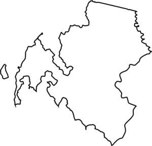
OUTLINE MAP
Talbot County Blank Map
Talbot County is a jagged shape defined by water. It’s divided into several chunks and is located completely in the state of Maryland.

Neighboring Counties
Here are the 5 neighboring counties of Talbot County:


Maryland County Map

With 23 counties and Baltimore City, Maryland gives you a distinct experience in every corner. City life, small towns, and outdoor adventures all come together. Learn more in our Maryland county maps.