Vigo County Map, Indiana

Vigo County Map Collection
We allow you to use our Vigo County map. Attribution is required.
Vigo County, Indiana

Vigo County lies in west-central Indiana, straddling the banks of the Wabash River and Illinois. Terre Haute, the county seat, is its beating heart. It’s home to Indiana State University.
The county has deep roots in transportation, from canals to railroads. Locals take pride in their racing heritage, with the Action Track drawing speed demons. Parks and trails crisscross the landscape, offering plenty of green spaces.
Farmers markets bustle with activity on summer weekends. Covered bridges remind visitors of a bygone era. Despite facing challenges, Vigo County’s residents remain forward-looking.
| Category | Details |
|---|---|
| County Name | Vigo County |
| County Seat | Terre Haute |
| Population | 106,000 (estimated) |
| Cities, Towns, and Communities | Terre Haute, West Terre Haute, Riley, Seelyville, New Goshen, Toad Hop, Saint Mary-of-the-Woods, Prairieton |
| Interstates and Highways | I-70, US-40, US-41, IN-46, IN-63, IN-42, IN-246 |
| FIPS Code | 18-167 |
| Total Area (Land and Water) | 410 square miles (Land: 403 sq mi, Water: 7 sq mi) |
| Adjacent Counties (and Direction) | Vermillion County (North), Parke County (Northeast), Clay County (East), Sullivan County (South), Clark County, Illinois (Southwest), Edgar County, Illinois (Northwest) |
| Time Zone | Eastern Time Zone (ET) |
| State | Indiana |
| Coordinates | 39.4667° N, 87.4139° W |
| Etymology | Named after Francis Vigo, an Italian-American patriot during the American Revolutionary War |
| Major Landmarks | Indiana State University, Terre Haute Children’s Museum, Hulman Center, Vigo County Courthouse, Deming Park |
| Website | Vigo County Website |
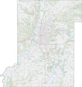
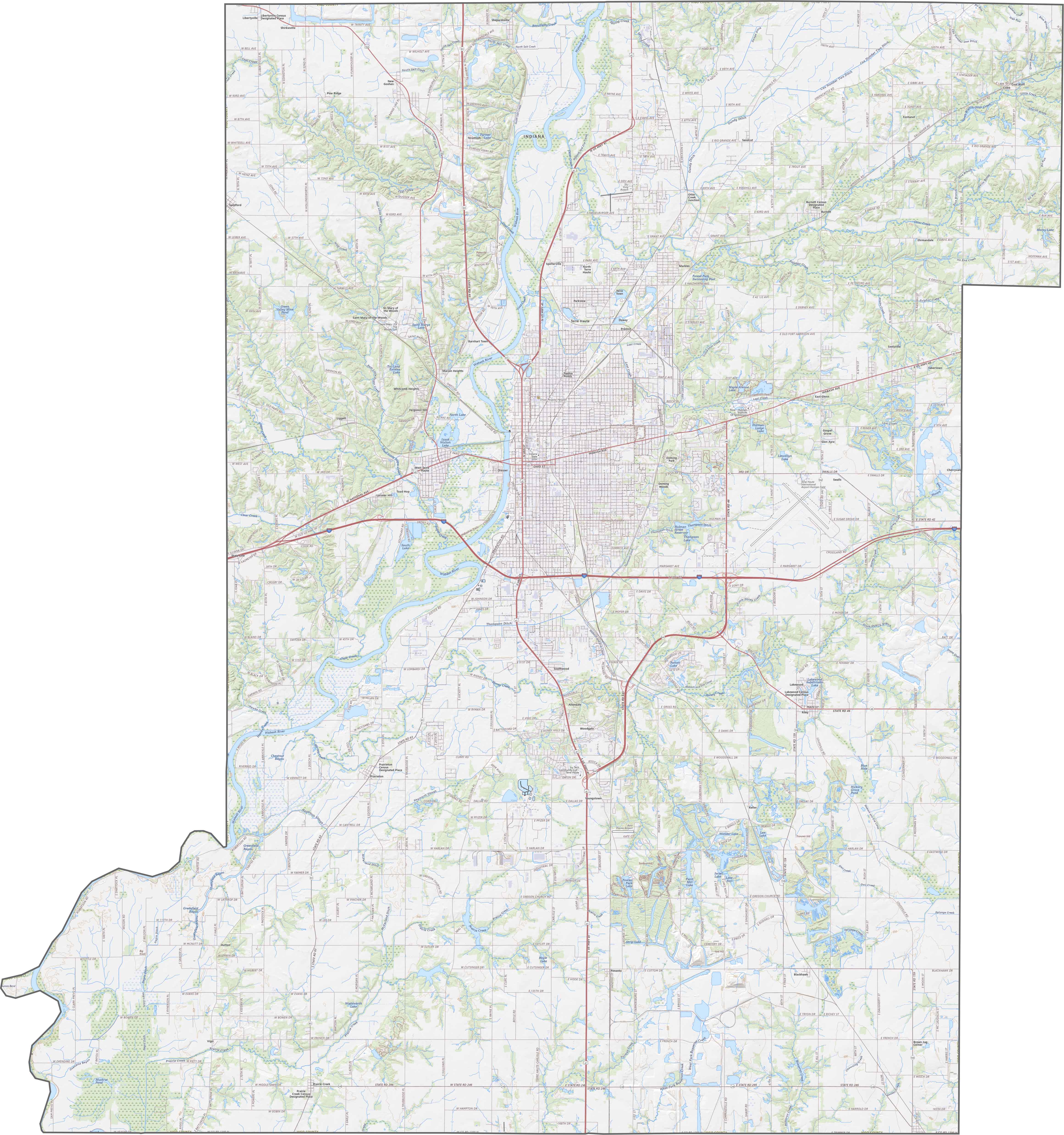
TRANSPORTATION MAP
Vigo County Road Map
Floodplains and low terraces characterize the riverside. I-70 and US-40 are the two main highways here. See these features in detail with our zoom tool.
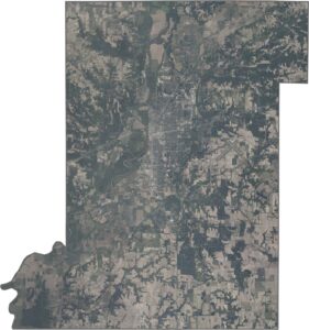
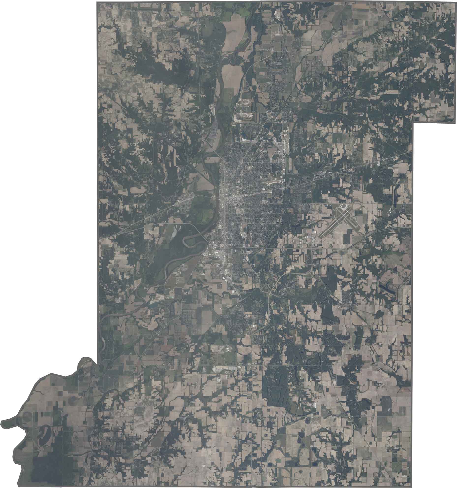
SATELLITE IMAGERY
Vigo County Satellite Map
Terre Haute appears as a dense urban area straddling the Wabash River. There are distinct industrial zones along the riverbanks, while the surrounding countryside shows a mix of farmland and woodlots.
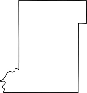
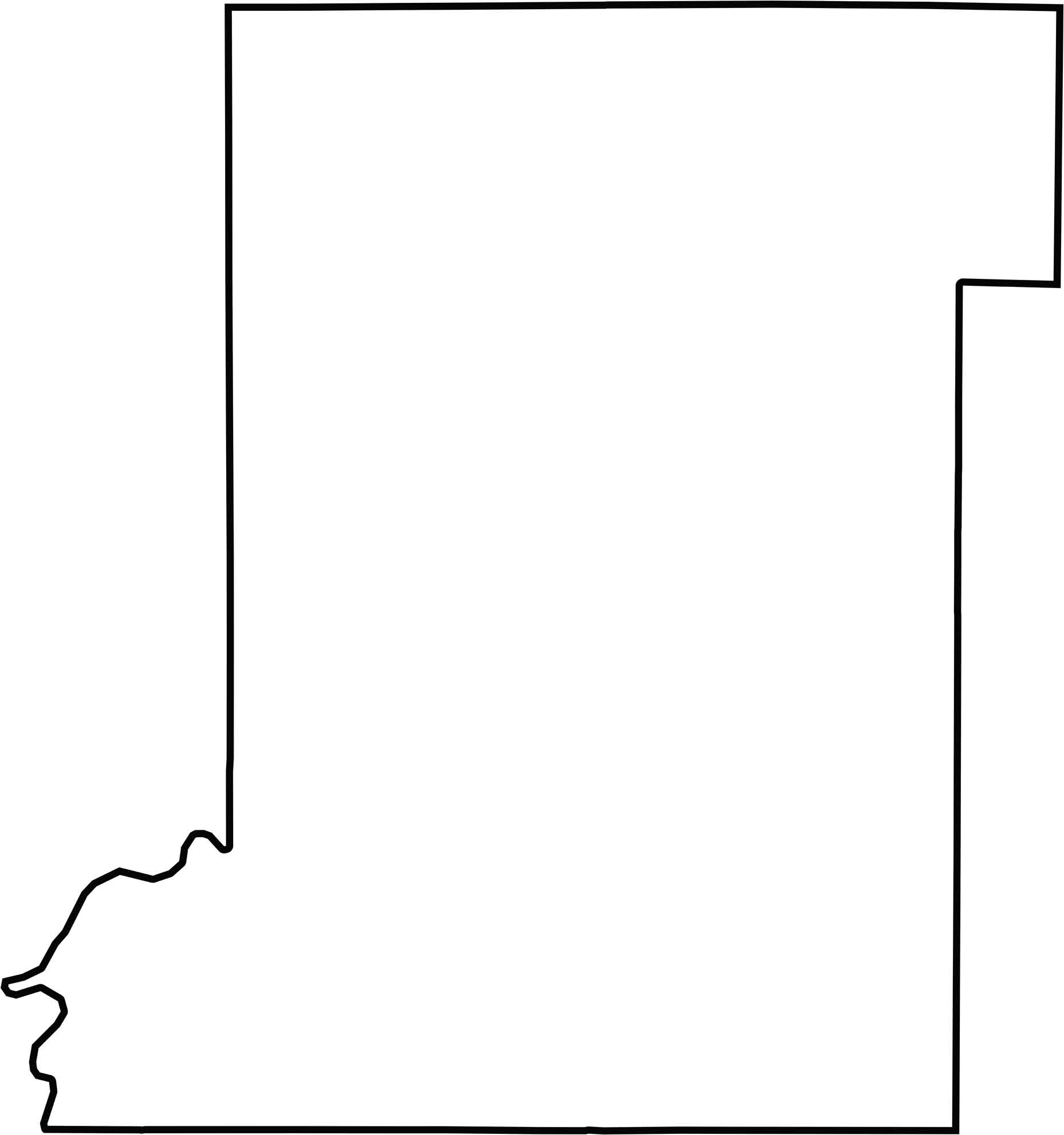
OUTLINE MAP
Vigo County Blank Map
The county forms a rough rectangle with the Wabash River defining its western border. This creates a boundary with Illinois, while the other edges touch Indiana counties.
Neighboring Counties
Here are the 6 neighboring counties of Vigo County:


Indiana County Map

Explore the Hoosier State. 92 counties worth of backroads, skyline views, and small-town magic. This is your glovebox passport to diner pies, covered bridges, and Lake Michigan sunsets.