Orange County Map, New York

Orange County Map Collection


We allow you to use our Orange County map. Attribution is required.
Orange County, New York

Orange County sits in the lower Hudson Valley. It’s just an hour north of New York City, but feels a world away. The Hudson River forms its eastern border. It’s absolutely gorgeous.
West Point, the famous military academy, calls this county home. There’s also a great outlet mall. But there’s more to Orange County than shopping. It has a rich Revolutionary War history. George Washington spent time here.
The county’s mix of farmland and small cities gives it a unique vibe. Newburgh, on the Hudson, is seeing a revival. Visitors come to Storm King Art Center, a massive sculpture park.
| Category | Details |
|---|---|
| County Name | Orange County |
| County Seat | Goshen |
| Population | Approximately 400,000 |
| Cities, Towns, and Communities | Middletown, Newburgh, Port Jervis, Wallkill, Warwick |
| Interstates and Highways | Interstate 84, U.S. Route 9W, New York State Route 17, New York State Route 52 |
| FIPS Code | 36-071 |
| Total Area (Land and Water) | 812 square miles (756 sq mi land, 56 sq mi water) |
| Adjacent Counties (and Direction) | Dutchess County (Northeast), Passaic County, New Jersey (Southeast), Pike County, Pennsylvania (Southwest), Putnam County (East), Rockland County (Southeast), Sullivan County (Northwest), Sussex County, New Jersey (South), Ulster County (North) |
| Time Zone | Eastern Time Zone (ET) |
| State | New York |
| Coordinates | 41.3917° N, 74.1416° W |
| Etymology | Named after William of Orange-Nassau |
| Major Landmarks | Storm King Art Center, Orange County Choppers, Mount Peter Ski Area |
| Website | Orange County Website |
PHYSICAL MAP
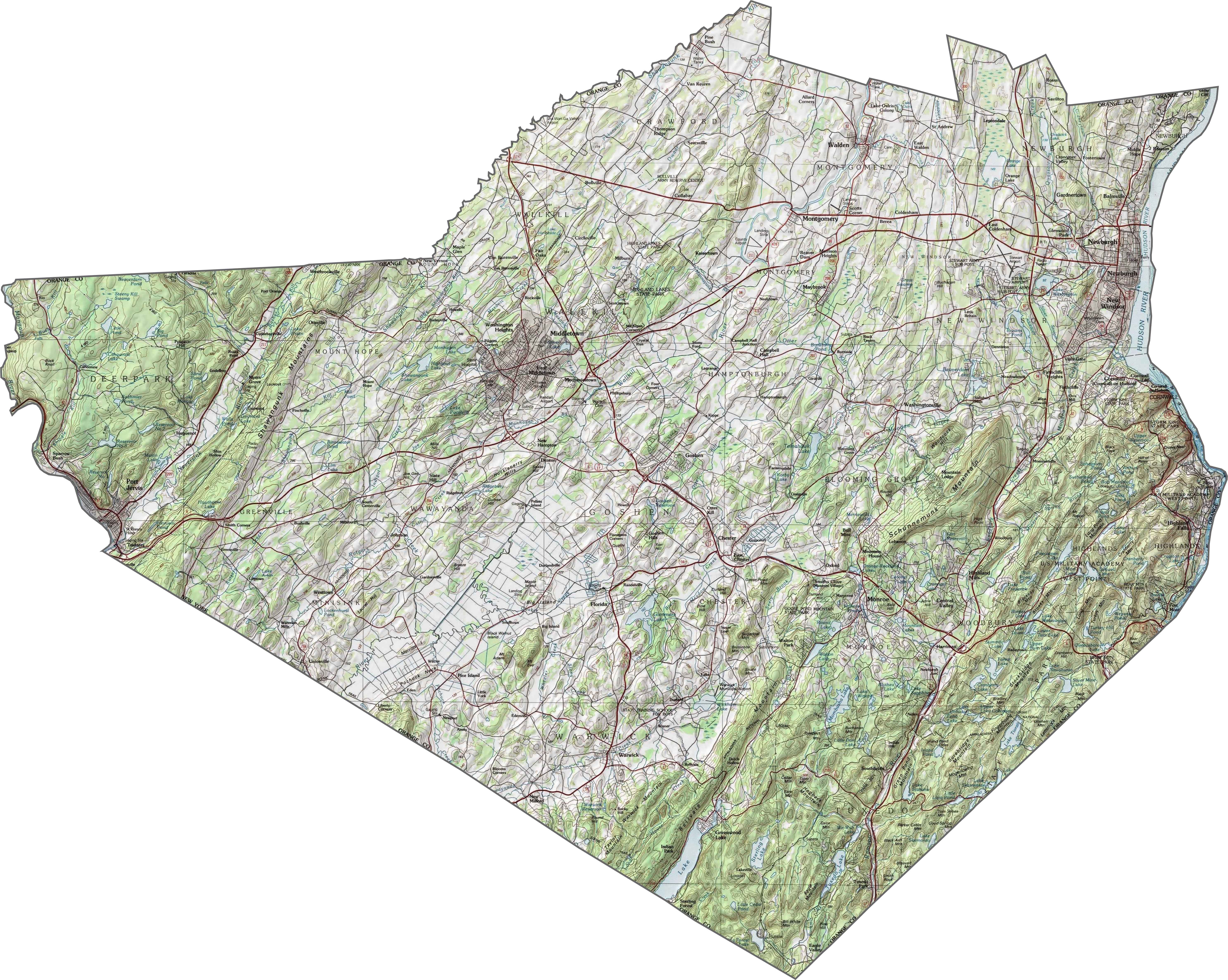
Orange County Topographic Map
Orange County is a land of ridges, rivers, and valleys. The Hudson River marks the eastern edge, with steep bluffs in places. Farther west, the Appalachian Highlands create rugged terrain. But between them, you’ll find wide, fertile valleys. Elevation changes fast and often in Orange County, NY.
TRANSPORTATION MAP
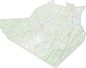
Orange County Road Map
Major roads slice right through Orange County. I-84 runs east–west across the top, while I-87 heads north–south. US-6 and NY-17 twist and merge through the middle. Though parts are rural, the highways stay busy. But if you’re dodging traffic near Newburgh or Middletown, the zoom tool can help plan a smarter route.

SATELLITE IMAGERY
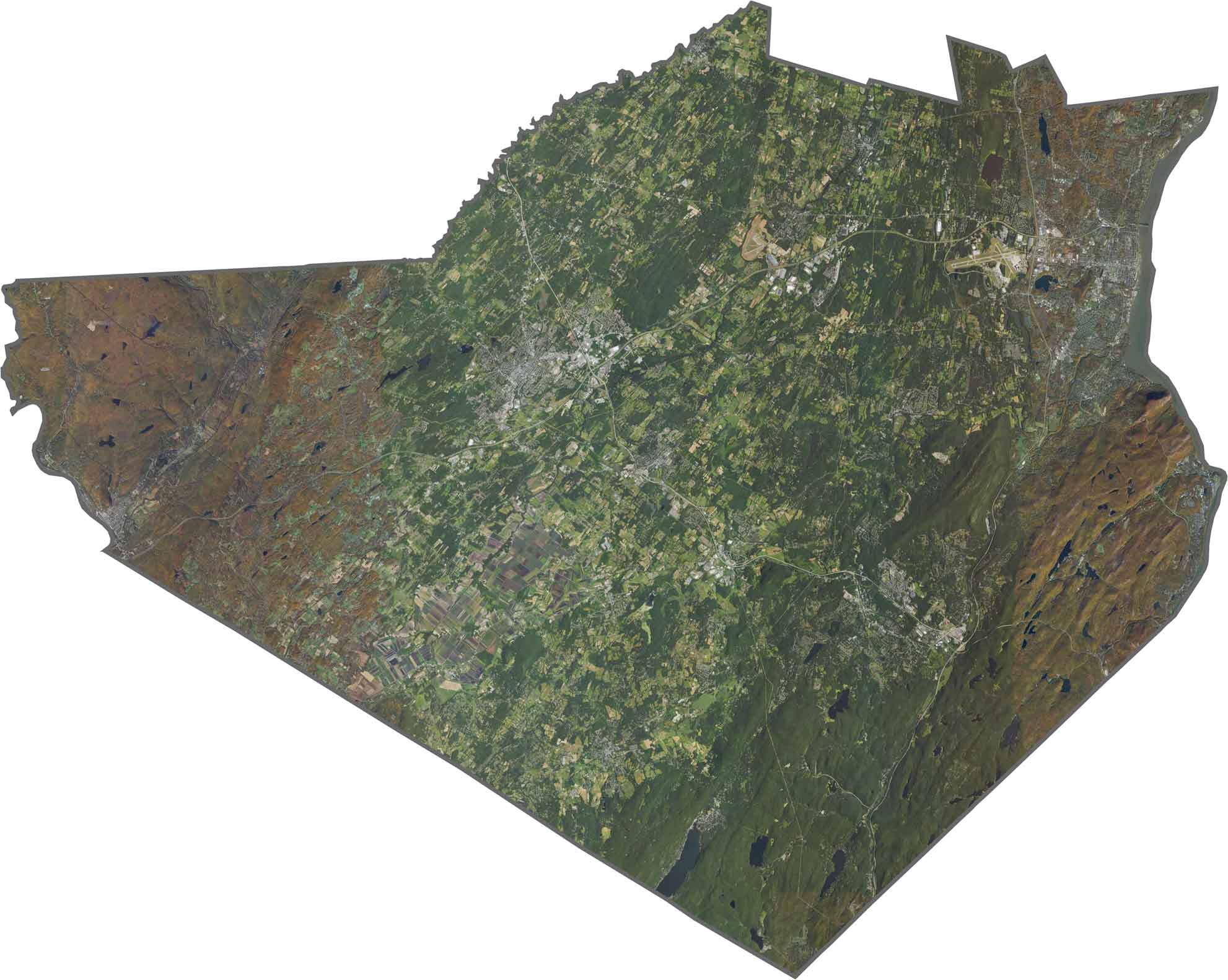
Orange County Satellite Map
You’ll see a bit of everything from above. Urban zones cluster near the Hudson. Large patches of forest stretch across the west. There’s also quite a bit of farmland here too. See it all in our zoom tool and satellite map below.
OUTLINE MAP
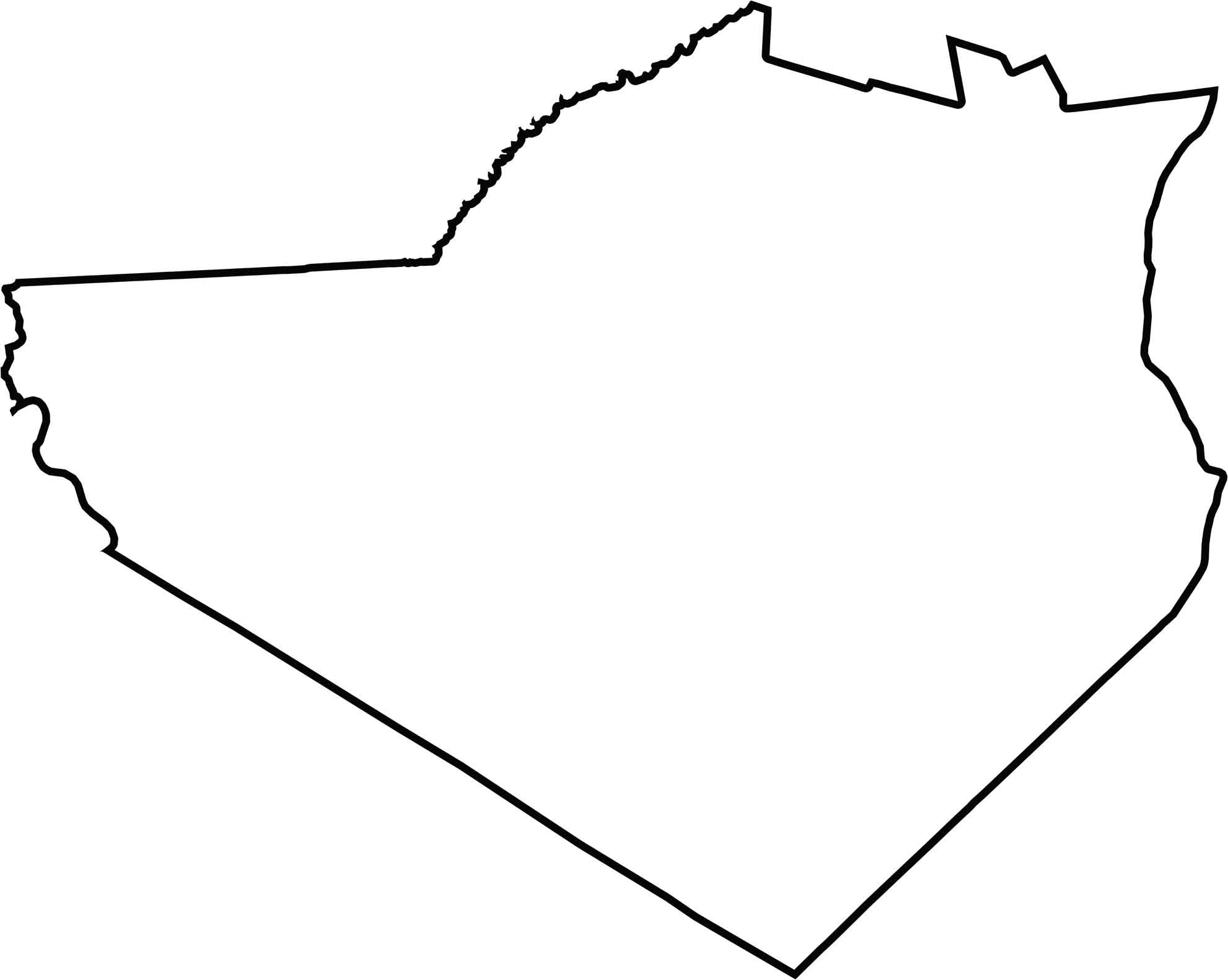
Orange County Blank Map
The Hudson River draws the whole eastern border. Orange County meets New Jersey to the south and Pennsylvania at its southwest tip. It has a wide, irregular shape. It’s almost triangular in the south but with rugged edges at the top.
Neighboring Counties
Here are the 8 neighboring counties of Orange County:


New York County Map

New York has 62 counties. Each with their own attitude. Manhattan’s chaos to the Adirondacks’ silence… and how about those Buffalo wings? Explore our NY counties maps.