Wayne County Map, North Carolina

Wayne County Map Collection


We allow you to use our Wayne County map. Attribution is required.
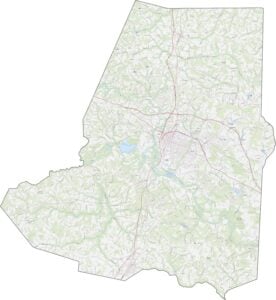
Wayne County, North Carolina

Eastern North Carolina is home to Wayne County. Goldsboro serves as its hub and county seat. It’s a place where old and new collide.
Seymour Johnson Air Force Base brings a global perspective. But you’ll still find plenty of down-home charm. BBQ is religion here. Argue about eastern vs. western style at your own risk.
The county has deep agricultural roots. You’ll see it in the fields that surround the towns. The arts are alive and well. Murals brighten downtown walls. Wayne County isn’t fancy, but it’s genuine. People here work hard and play hard.
| Category | Details |
|---|---|
| County Name | Wayne County |
| County Seat | Goldboro |
| Population | Approximately 135,000 |
| Cities, Towns, and Communities | Goldboro, Mount Olive, Fremont, La Grange |
| Interstates and Highways | Interstate 795, U.S. Route 70, U.S. Route 117 |
| FIPS Code | 37-191 |
| Total Area | 556 square miles (land and water) |
| Adjacent Counties | Wilson County (North), Greene County (East), Lenoir County (Southeast), Duplin County (South), Sampson County (Southwest), Johnston County (West) |
| Time Zone | Eastern Time Zone |
| State | North Carolina |
| Coordinates | 35.3848° N, 77.9937° W |
| Etymology | Named after Anthony Wayne, a general in the American Revolutionary War |
| Major Landmarks | Wayne County Museum, Cliffs of the Neuse State Park |
| Website | Wayne County Website |
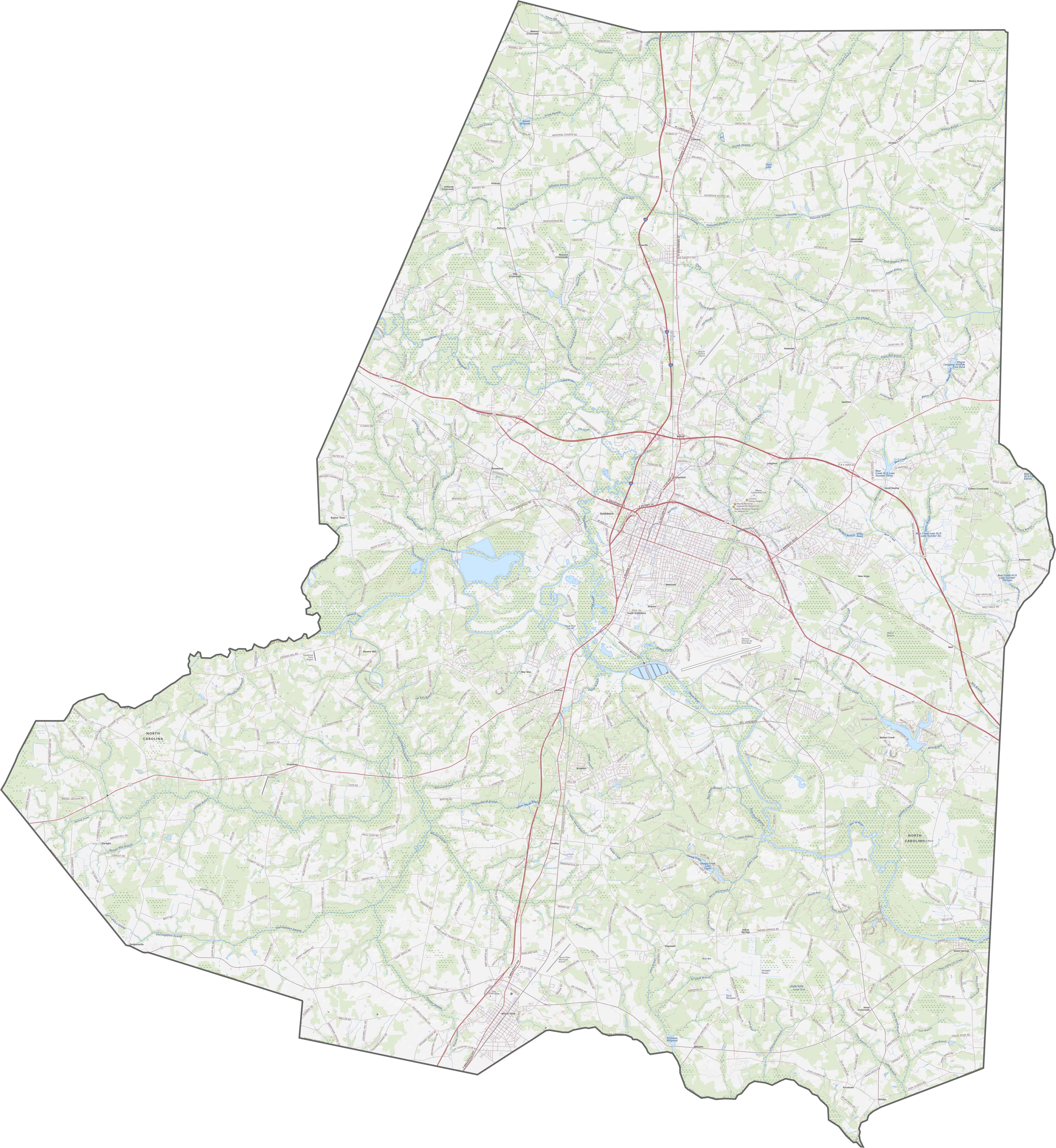
TRANSPORTATION MAP
Wayne County Road Map
Set in eastern North Carolina, Wayne County balances local roads with regional routes. U.S. 70 runs straight through Goldsboro, connecting east and west. Zoom in to spot the transportation network of Wayne County.
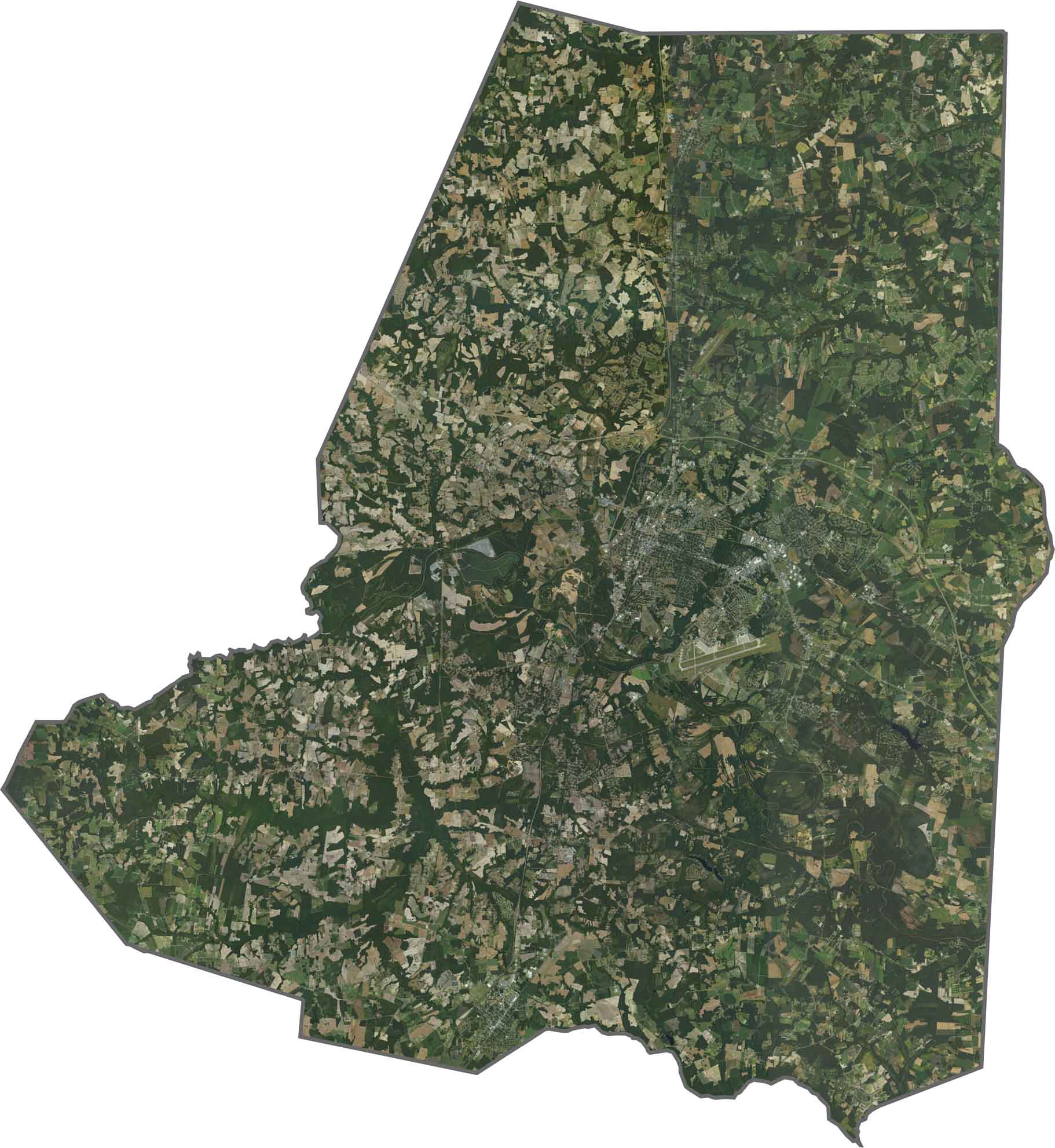
SATELLITE IMAGERY
Wayne County Satellite Map
Goldsboro is a bright, central patch surrounded by farmland. Fields and roads form clean patterns across the county. The Neuse River winds through the county. Seymour Johnson Air Force Base takes up a wide, structured spot near the city.
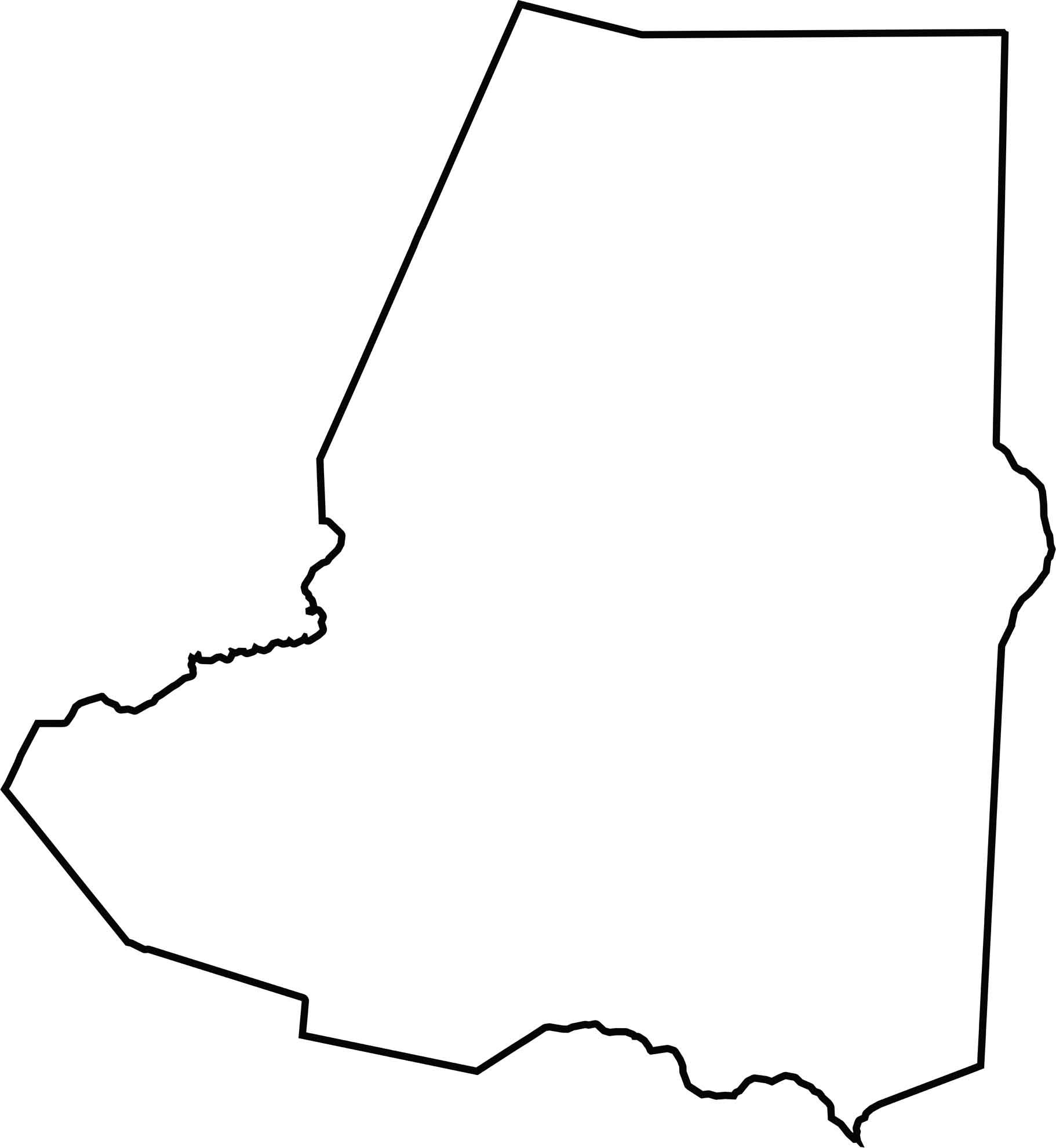
OUTLINE MAP
Wayne County Blank Map
Wayne County has a soft-edged rectangular shape, stretched north to south. It touches no other states, and the shape is simple.
Neighboring Counties
Here are the 6 neighboring counties of Wayne County:


North Carolina County Map

North Carolina’s 100 counties don’t all play by the same rules. Some lean into beach life, others into barbecue or bluegrass. Sometimes all three. You’ll find waterfalls, farmland, and NASCAR.