Frederick County Map, Virginia

Frederick County Map Collection

We allow you to use our Frederick County map. Attribution is required.
Frederick County, Virginia

Frederick County anchors the northern tip of Virginia’s Shenandoah Valley. Winchester, the county seat, is steeped in Civil War history. The annual Apple Blossom Festival is a big deal.
The Blue Ridge Mountains rise to the east, offering scenic drives and hiking trails. The Museum of the Shenandoah Valley showcases regional art and culture.
Frederick County’s location makes it a gateway to both Washington D.C. and the Appalachian Mountains. The Old Town area of Winchester is a pedestrian mall full of shops and restaurants. Despite growth, the county maintains its agricultural roots and natural beauty.
| Category | Details |
|---|---|
| County Name | Frederick County |
| County Seat | Winchester |
| Population | Approximately 95,000 |
| Cities, Towns, and Communities | Winchester, Stephens City, Middletown, Clear Brook, Gore |
| Interstates and Highways | I-81, US-11, US-522, VA-7 |
| FIPS Code | 51-069 |
| Total Area (Land and Water) | 416 sq mi (Land: 413 sq mi; Water: 3 sq mi) |
| Adjacent Counties (and Direction) | Clarke County (East), Warren County (South), Shenandoah County (Southwest), Hardy County, West Virginia (Southwest), Hampshire County, West Virginia (West), Morgan County, West Virginia (North), Berkeley County, West Virginia (Northeast), Winchester City (Enclaved) |
| Time Zone | Eastern Time Zone (ET) |
| State | Virginia |
| Coordinates | 39.2205° N, 78.2607° W |
| Etymology | Named after Frederick, Prince of Wales, the son of King George II |
| Major Landmarks | Cedar Creek and Belle Grove National Historical Park, Abrams Creek Wetlands Preserve, Museum of the Shenandoah Valley |
| Website | Frederick County Website |
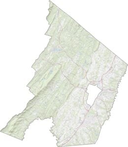
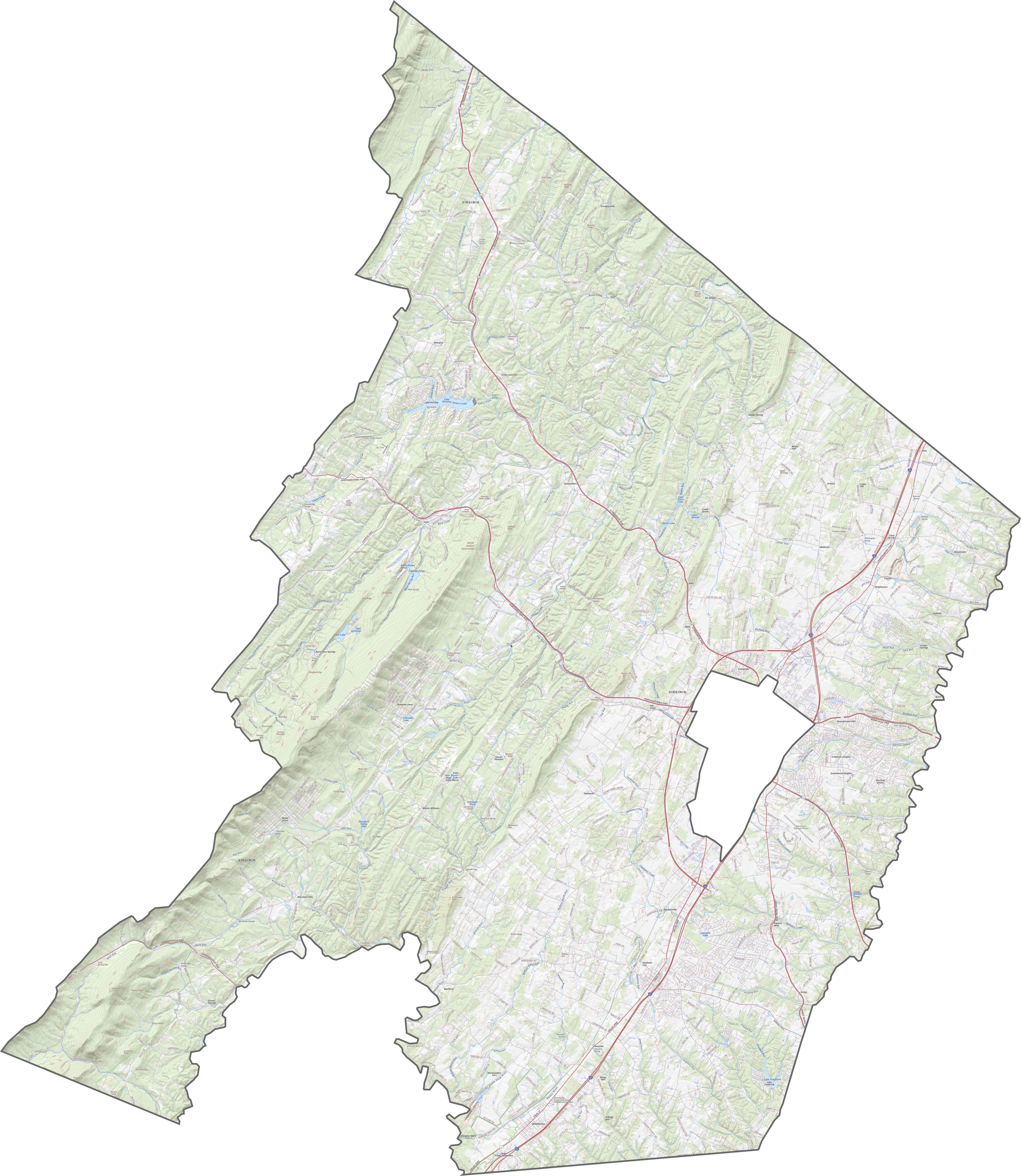
TRANSPORTATION MAP
Frederick County Road Map
A few major roads cross the county. Interstate 81 runs north-south through the center. But in contrast, some routes follow older trails and valley paths. Our zoom tool below helps reveal it all, ridge to ridge.
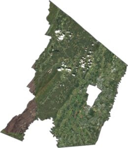
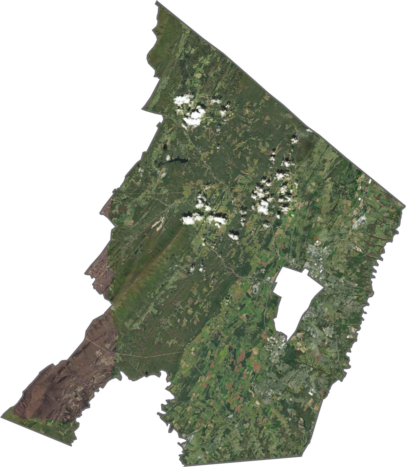
SATELLITE IMAGERY
Frederick County Satellite Map
There’s a sharp divide from the sky. Woods blanket the west, while open farmland and subdivisions fill the east. You’ll also spot the orderly layout of Winchester near the center. Yep, we cut it out because it’s not part of Frederick County.
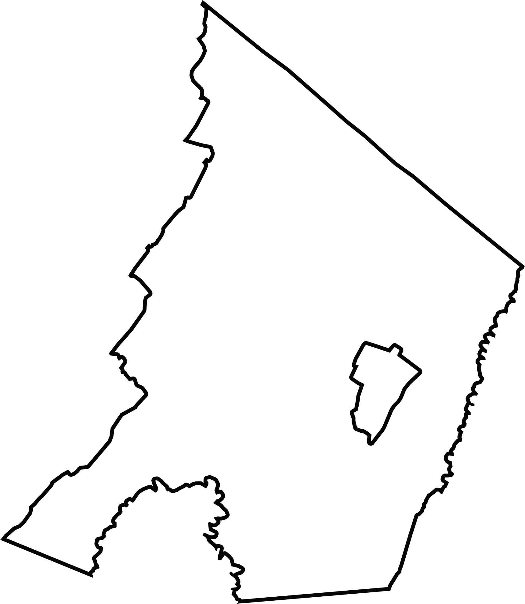
OUTLINE MAP
Frederick County Blank Map
Frederick’s outline is long and slightly curved. Its northern border touches West Virginia. The shape flares outward toward the south. Winchester City is completely enclosed within the county.
Neighboring Counties
Here are the 8 neighboring counties of Frederick County:


Virginia County Map

The original cool. Virginia’s 95 counties mix old-school roots with mountain roads with Civil War footsteps. One county’s got peanuts, another has presidents. Some lean country, others lean capital.