Hamilton County Map, Ohio

Hamilton County Map Collection


We allow you to use our Hamilton County map. Attribution is required.
Hamilton County, Ohio

Cincinnati’s the big show in Hamilton County. It’s right in the southwest corner of Ohio, hugging the Ohio River. It borders both Indiana and Kentucky. This place is hopping with over 800,000 people call it home.
The Reds and Bengals keep sports fans happy year-round. You can’t miss the impressive skyline when you’re driving in on I-75. Visitors love the food here too. From chili to goetta, there’s always something tasty to try.
The county’s not just about the city though. There are some great parks for when you need a breather. Visitors dig the Underground Railroad sites. And if you’re into art, the Cincinnati Art Museum is a must-see.
| Category | Details |
|---|---|
| County Name | Hamilton County |
| County Seat | Cincinnati |
| Population | Approximately 830,000 |
| Cities, Towns, and Communities | Cincinnati, Norwood, Cheviot, Greenhills |
| Interstates and Highways | Interstate 71, Interstate 75, Interstate 275 |
| FIPS Code | 39-061 |
| Total Area | 413 square miles (land and water) |
| Adjacent Counties | Franklin County, Indiana (Northwest), Dearborn County, Indiana (West), Butler County (North), Warren County (Northeast), Clermont County (East), Campbell County, Kentucky (Southeast), Kenton County, Kentucky (South), Boone County, Kentucky (Southwest) |
| Time Zone | Eastern Time Zone |
| State | Ohio |
| Coordinates | 39.1031° N, 84.5120° W |
| Etymology | Named after Alexander Hamilton, Secretary of the Treasury |
| Major Landmarks | Cincinnati Zoo and Botanical Garden, Great American Ball Park |
| Website | Hamilton County Website |
TRANSPORTATION MAP
Hamilton County Road Map
Cincinnati makes this a busy highway hub. Interstates 71, 74, and 75 all cut through. I-275 loops around the outer edge. U.S. Routes 50 and 127 add to the highway system. Though traffic is heavy, the coverage is excellent. Our zoom tool in our road map below helps sort it all out in detail.

SATELLITE IMAGERY
Hamilton County Satellite Map
Hamilton County is dense, sprawling, and busy. Downtown Cincinnati hugs the river, packed with buildings and roads. Beyond that, tree-lined neighborhoods and parklands are easy to spot. The Ohio River cuts a broad curve across the bottom. Bridges, rail yards, and hills all leave strong visual marks.

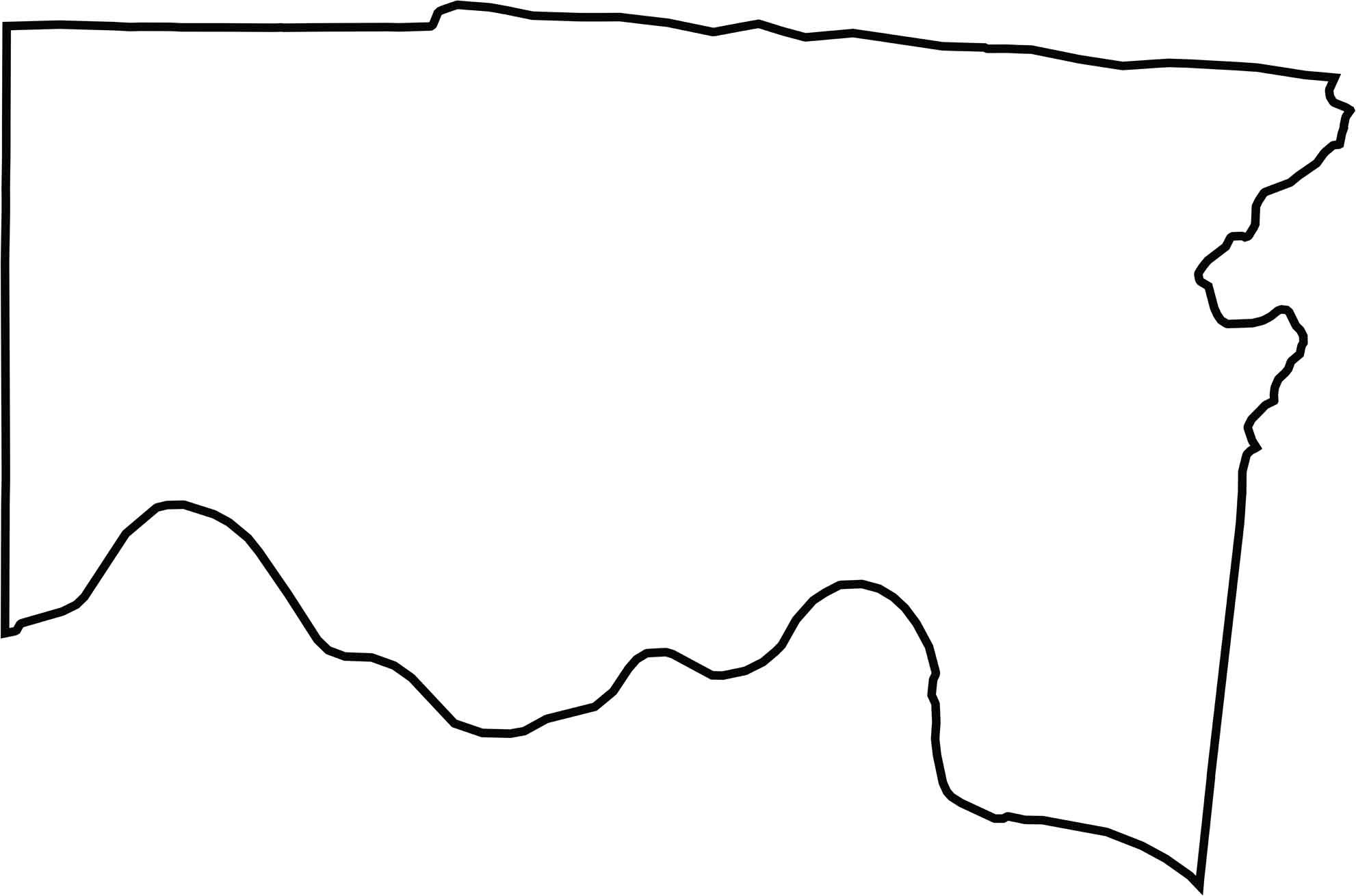
OUTLINE MAP
Hamilton County Blank Map
Hamilton County borders Kentucky, with the Ohio River forming the entire southern boundary. The rest of the outline is a jagged mix of straight lines and bends. It’s shaped like a tilted wedge, wider at the top. That curving river edge makes it stand out on the map.
Neighboring Counties
Here are the 8 neighboring counties of Hamilton County:


Ohio County Map

Forget the coast. Ohio’s 88 counties are where real America hums. No pretense, no postcard perfection, just hard-working towns and quiet backroads that get under your skin. This is the Midwest without the filter.