McLean County Map, Illinois
McLean County Map Collection

We allow you to use our McLean County map. Attribution is required.
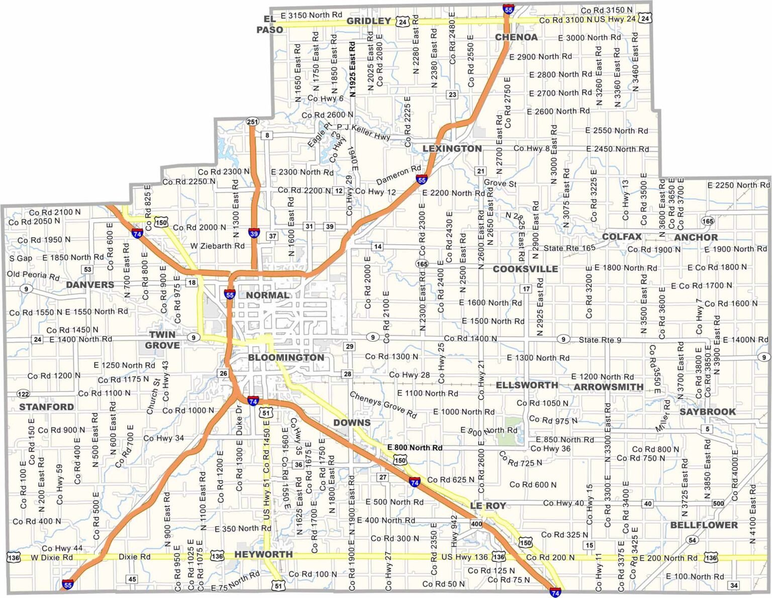
McLean County, Illinois

McLean County is right in the middle of Illinois, often called the heart of the state. It’s the largest county in Illinois by land area. Bloomington-Normal dominates the scene. It’s an urban center surrounded by miles of farmland.
Corn and soybeans are everywhere you look. State Farm Insurance calls this place home so their headquarters is hard to miss. Illinois State University brings academics to the area. You’ll especially find plenty of cool spots to eat and hang out around campus.
The county has some serious history too. Lincoln practiced law here back in the day. The place comes alive in the summer. County fairs, outdoor concerts, you name it. It balances small-town values with big-city opportunities. Not a bad combo if you ask me.
| Category | Details |
|---|---|
| County Name | McLean County |
| County Seat | Bloomington |
| Population | Approximately 220,000 |
| Cities, Towns, and Communities | Bloomington, Normal, Hudson, Le Roy, and several unincorporated communities |
| Interstates and Highways | Interstate 55, Interstate 74, U.S. Highway 51, U.S. Highway 150, Illinois Route 9, Illinois Route 51 |
| FIPS Code | 17-113 |
| Total Area (Land and Water) | 1,184 square miles (land: 1,183 sq mi, water: 1 sq mi) |
| Adjacent Counties (and Direction) | Woodford County (Northwest), Livingston County (Northeast), Ford County (East), Champaign County (Southeast), Piatt County (South), DeWitt County (South), Logan County (Southwest), Tazewell County (West) |
| Time Zone | Central Time Zone (CT) |
| State | Illinois |
| Coordinates | 40.4843° N, 88.8684° W |
| Etymology | Named after John McLean, a former Senator from Illinois |
| Major Landmarks | The David Davis Mansion, Illinois State University, and the McLean County Museum of History |
| Website | McLean County Website |
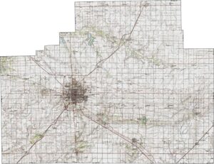
PHYSICAL MAP
McLean County Topographic Map
Classic Illinois flatness defines McLean County. Its endless farmland are broken only by small creeks and the twisting Mackinaw River. The terrain slopes gently toward the Illinois River basin. Explore the subtle details with our zoom feature.
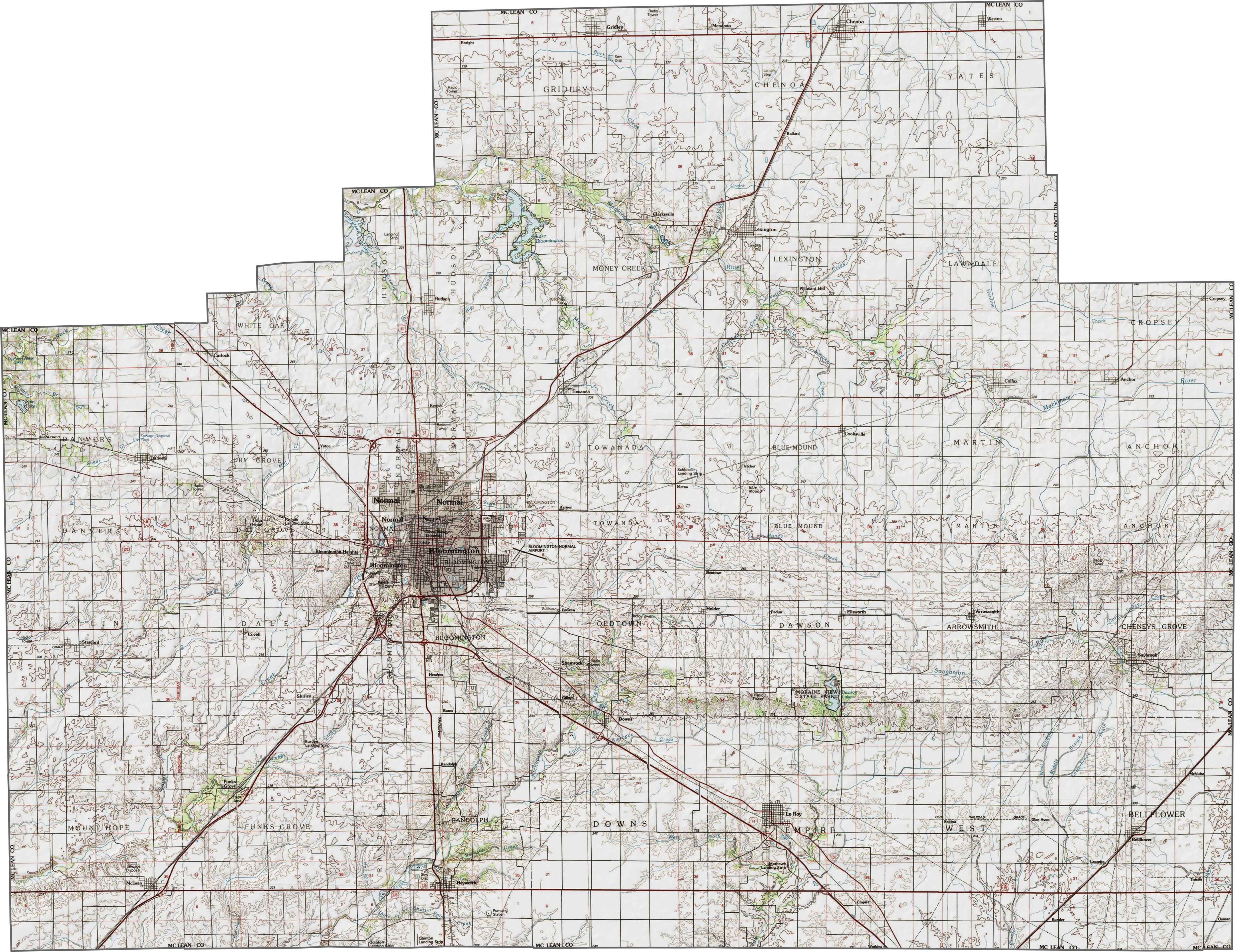
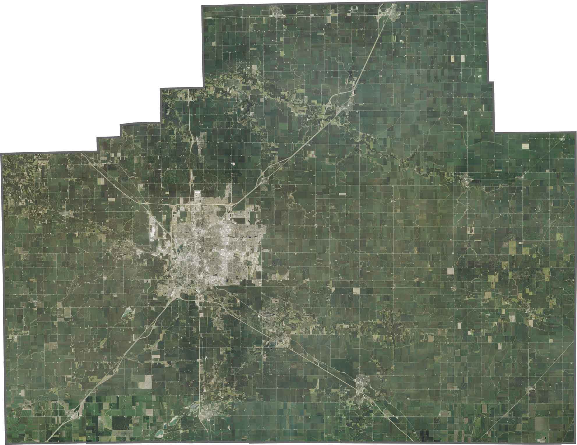
SATELLITE IMAGERY
McLean County Satellite Map
A sea of farmland stretches in every direction, with the grid-like pattern of rural roads creating sharp divisions. Bloomington-Normal appears as a concentrated urban area, while tiny towns fill the countryside. Interstate 55 slices through the middle in a straight, bold line.
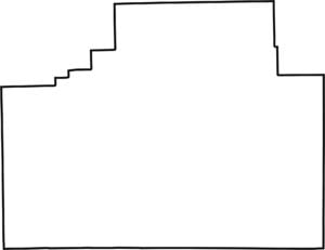
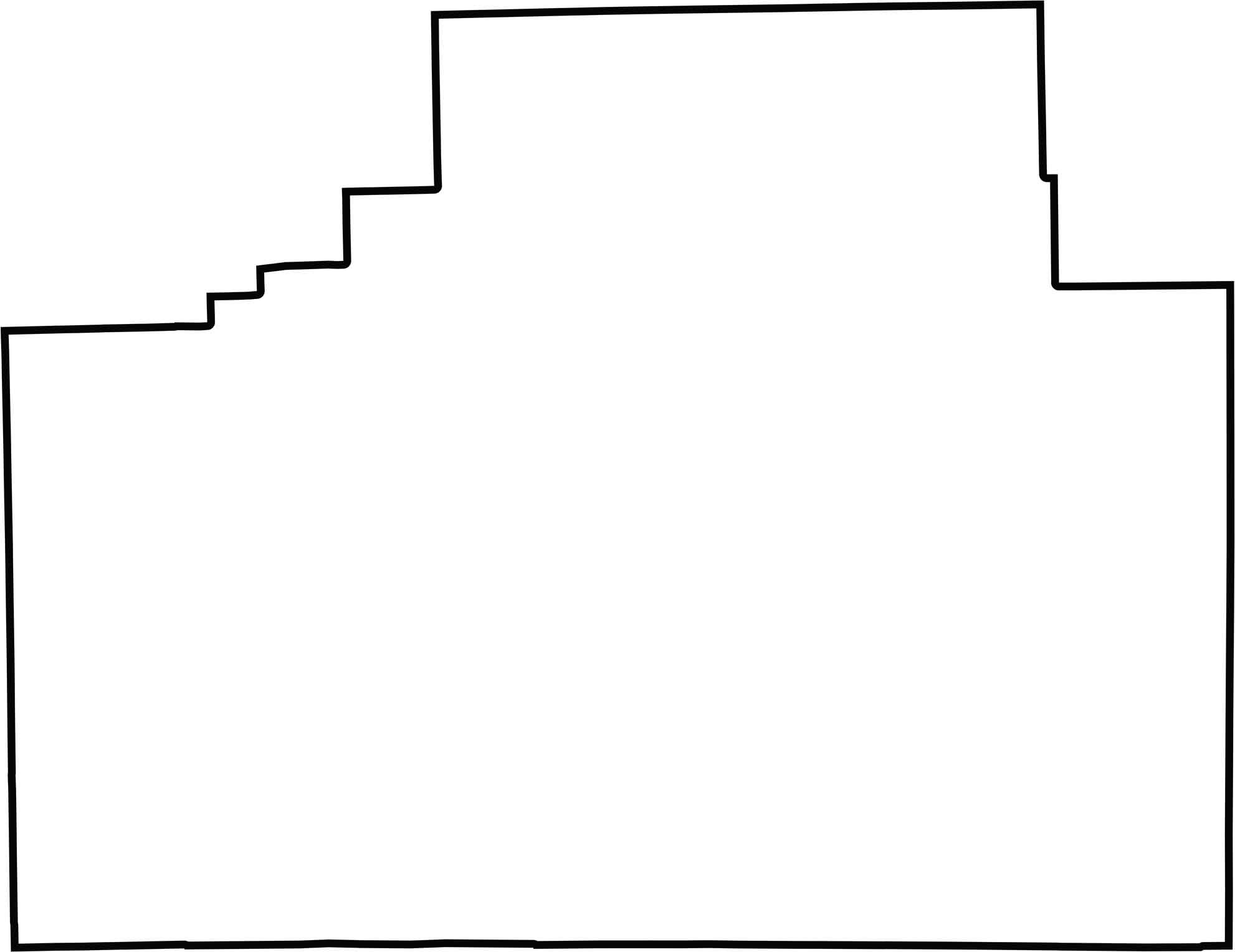
OUTLINE MAP
McLean County Blank Map
Almost perfectly rectangular, McLean County follows strict survey lines with no natural borders. It sits firmly in central Illinois, not touching any other states.
Neighboring Counties
Here are the 8 neighboring counties of McLean County:


Illinois County Map

Ready to explore Illinois? Counties full of surprises. Chicago’s buzz in Cook. Shawnee’s quiet beauty. History, farms, and charm. Grab an Illinois county map. Find your adventure. Illinois awaits.
Is There A County Called Shawnee? It Say’s “Shawnee’s quiet beauty.” Under Illinois County Maps Paragraph, Yet I Looked For It & Could Not Locate It!
Is, “Shawnee’s quiet beauty” Describing The Shawnee American Indigenous Tribe That Use To Exist There?
I Am Unsure Of What “Shawnee’s quiet beauty.” Is Referring To?
Hi Brian. Thanks for the comment. That’s referring to Shawnee National Forest in the southern part of Illinois.