Montgomery County Map, Texas

Montgomery County Map Collection


We allow you to use our Montgomery County map. Attribution is required.
Montgomery County, Texas

Montgomery County is just north of Houston in eastern Texas. It’s one of the fastest-growing counties in Texas. The county is named after the town of Montgomery, which claims to be the birthplace of the Texas Lone Star flag.
People like to soak up Lake Conroe, especially in the scorching summer months. The Woodlands is a master-planned community, where you’ll find a mix of old and new. Historic downtown Conroe sits just miles from modern shopping centers.
The county has a strong arts scene, with theaters and music venues. Nature lovers enjoy the Sam Houston National Forest in the north. It’s close enough to Houston for an easy commute, but far enough to feel like an escape. Montgomery County is changing fast, but it’s holding onto its roots.
| Category | Details |
|---|---|
| County Name | Montgomery County |
| County Seat | Conroe |
| Population | Approximately 650,000 |
| Cities, Towns, and Communities | Conroe, The Woodlands, Magnolia, Willis |
| Interstates and Highways | Interstate 45, U.S. Highway 59, State Highway 105 |
| FIPS Code | 48-339 |
| Total Area (Land and Water) | 1,042 square miles (1,032 sq mi land, 10 sq mi water) |
| Adjacent Counties (and Direction) | Walker County (North), San Jacinto County (Northeast), Liberty County (East), Harris County (South), Waller County (West), Grimes County (Northwest) |
| Time Zone | Central Time Zone (CST) |
| State | Texas |
| Coordinates | 30°18’N, 95°28’W |
| Etymology | Named after Montgomery, the hometown of Sam Houston, a key figure in Texas history |
| Major Landmarks | The Woodlands Waterway, Lone Star Convention Center, Lake Conroe |
| Website | Montgomery County Website |
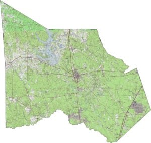
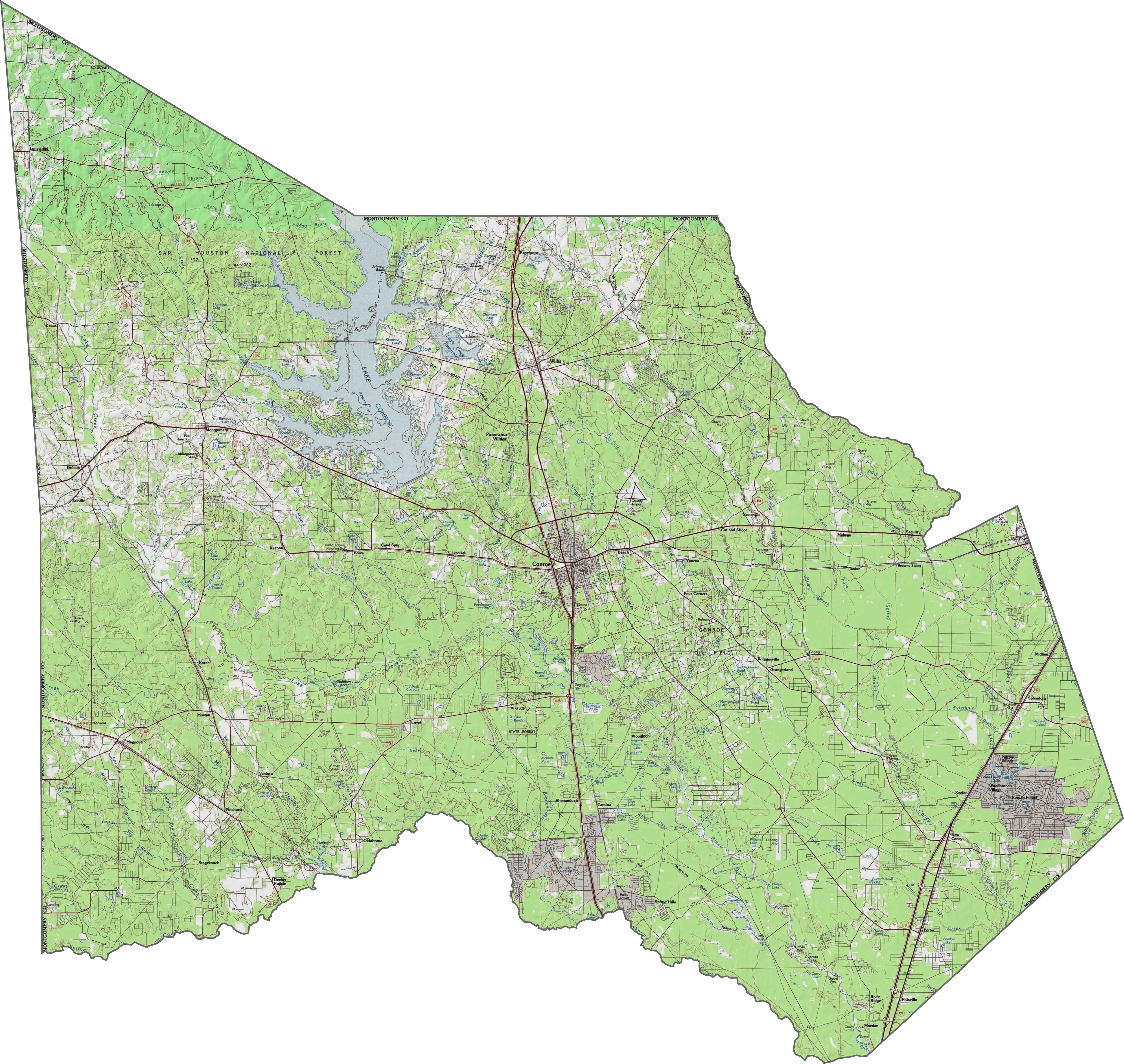
PHYSICAL MAP
Montgomery County Topographic Map
The terrain is varied for this part of Texas. The San Jacinto River system runs through the county, feeding into Lake Conroe. Elevation rises toward the northwest, with gentle hills and dense woods. Water and forest give the area a layered, natural look.
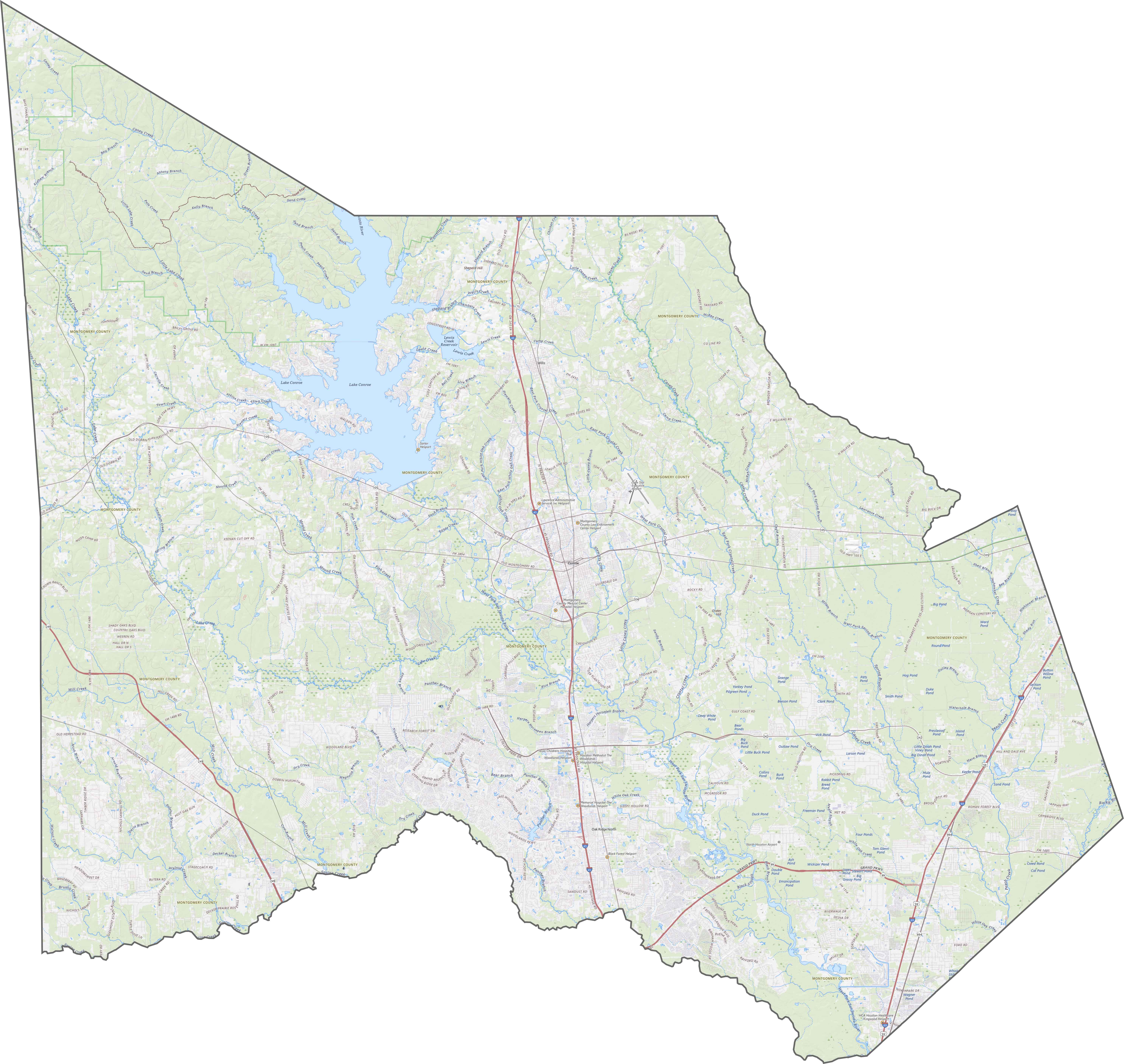
TRANSPORTATION MAP
Montgomery County Road Map
I-40 is the main highway in Montgomery County, which cuts through in a north-south direction. Highways push out from Houston, from the south. Traffic is heavy in the south, quieter near the forested north.
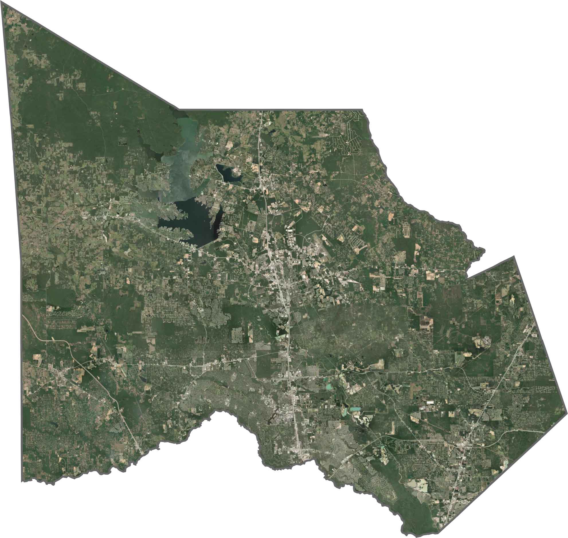
SATELLITE IMAGERY
Montgomery County Satellite Map
Our satellite map shows that it’s a balance of forest and development. Lake Conroe shows up as a dark, branching shape to the north. Elsewhere, patches of green and tan show a mix of suburbs, woods, and construction.
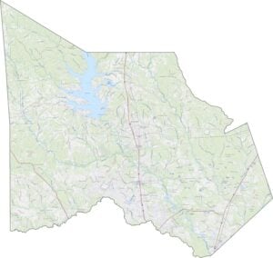
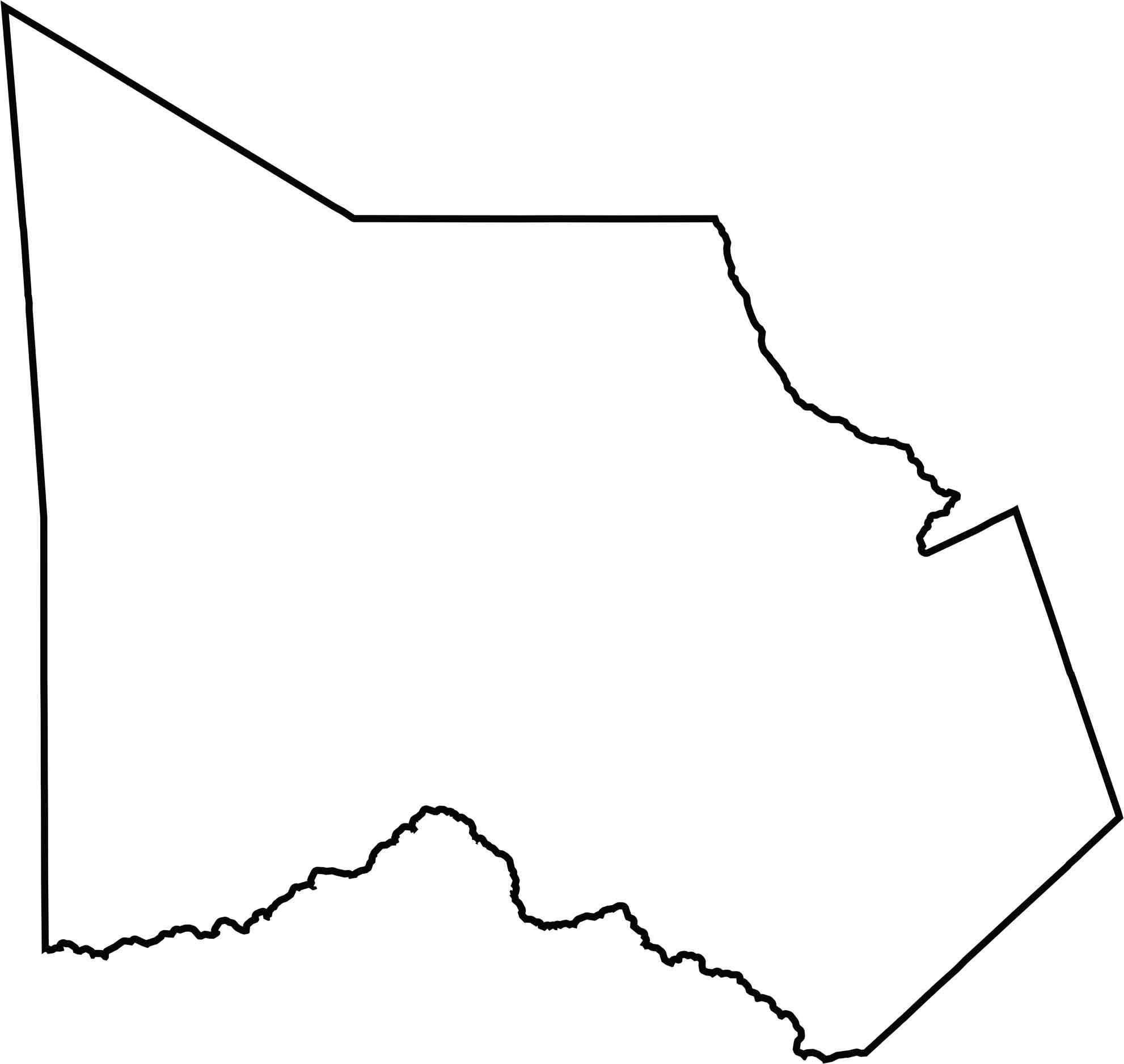
OUTLINE MAP
Montgomery County Blank Map
Montgomery County has an irregular shape. It doesn’t touch another state, but it borders several fast-growing counties north of Houston.
Neighboring Counties
Here are the 6 neighboring counties of Montgomery County:


Texas County Map

254 legendary Texas county maps. From the Panhandle to the Rio Grande, we’ve got the Lone Star State mapped. That means more rodeos, honky-tonk, and Texas BBQ.