Polk County Map, Florida


We allow you to use our Polk County map. Attribution is required.
Polk County, Florida

Ever wonder where Florida’s orange juice comes from? Polk County is a good bet. It’s right in the middle of the state, bridging the gap between Tampa and Orlando. Lakeland, the largest city, has a downtown with swan-filled lakes.
The county is still big on citrus, but tourism is growing with spots like Legoland Florida. You’ll find more lakes than you can count, perfect for fishing and water sports. Bok Tower Gardens is a hidden gem, with its singing bell tower.
Polk has a mix of small towns and growing suburbs. It’s more Southern than coastal Florida, with a strong agricultural heritage. The county is changing fast, but still holds onto its roots. It’s a place where you can pick oranges in the morning and ride roller coasters in the afternoon.
| Category | Details |
|---|---|
| County Name | Polk County |
| County Seat | Bartow |
| Population | Approximately 780,000 |
| Cities, Towns, and Communities | Lakeland, Winter Haven, Haines City, Auburndale, Lake Wales |
| Interstates and Highways | I-4, US 27, US 98, SR 60 |
| FIPS Code | 12-105 |
| Total Area (Land and Water) | 2,011 square miles (land: 1,798 sq mi, water: 213 sq mi) |
| Adjacent Counties (and Direction) | Lake County (North), Osceola County (East), Orange County (Northeast), Okeechobee County (Southeast), Highlands County (Southeast), Hardee County (South), Manatee County (Southwest), Hillsborough County (West), Sumter County (Northwest), Pasco County (Northwest) |
| Time Zone | Eastern Time Zone (ET) |
| State | Florida |
| Coordinates | 27.9783° N, 81.6946° W |
| Etymology | Named after President James K. Polk, the 11th President of the United States |
| Major Landmarks | Bok Tower Gardens, Cypress Gardens, Legoland Florida Resort |
| Website | Polk County Website |
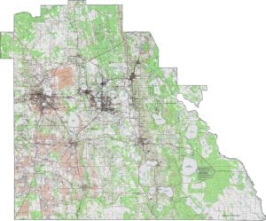
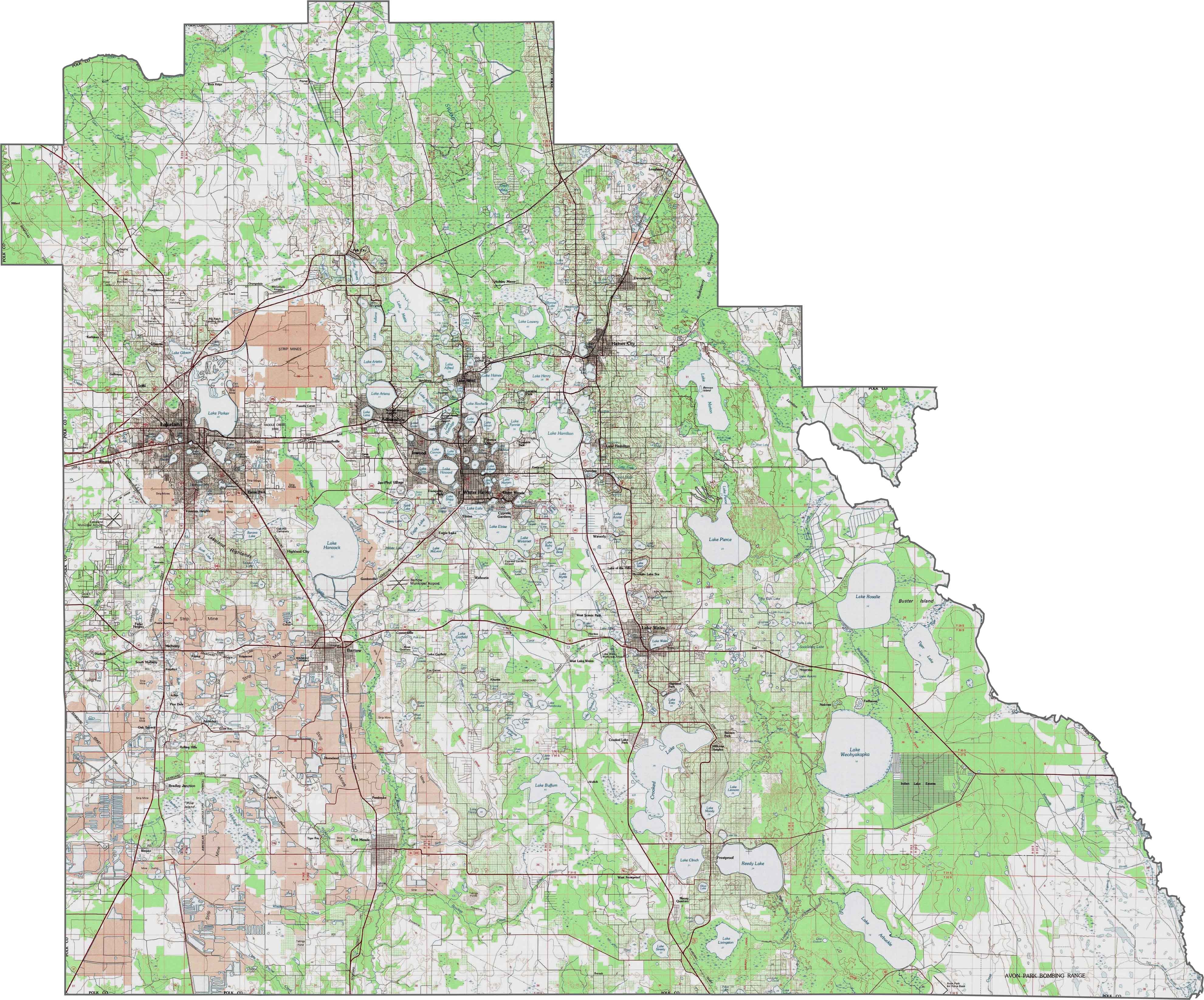
PHYSICAL MAP
Polk County Topographic Map
Polk County features some of central Florida’s most varied topography, with rolling hills and ridges. The Lake Wales Ridge runs north-south through the county, creating distinct topographic zones. Our zoom tool displays the over 550 lakes in this Polk County topographic map.
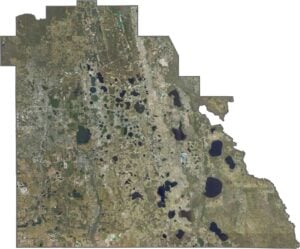
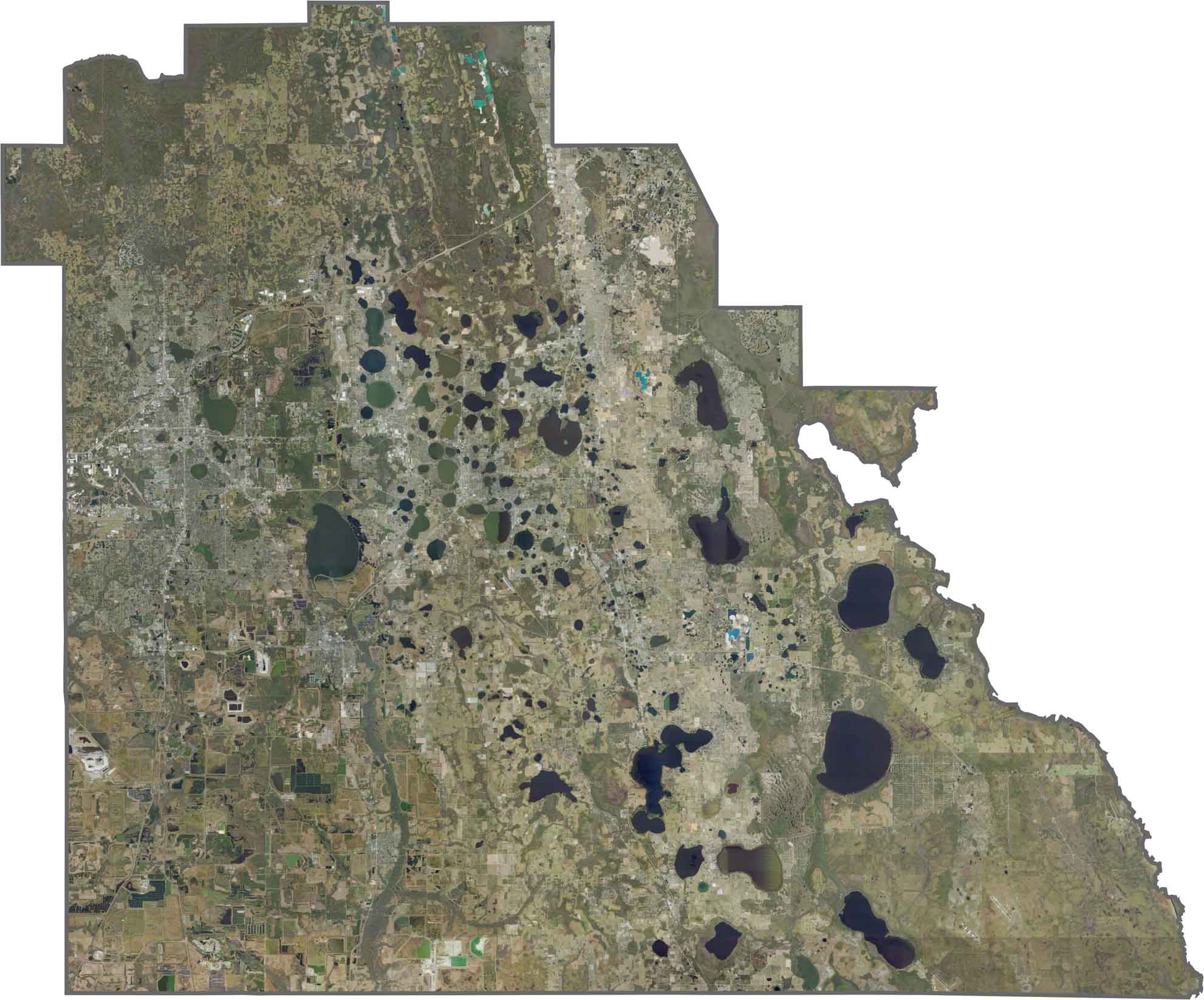
SATELLITE IMAGERY
Polk County Satellite Map
Polk County is inland and covered with lakes, agricultural fields, and rolling terrain. Our satellite view highlights its vast citrus groves and mining areas. The numerous lakes, including the Chain of Lakes in Winter Haven, add to its varied topography.
OUTLINE MAP
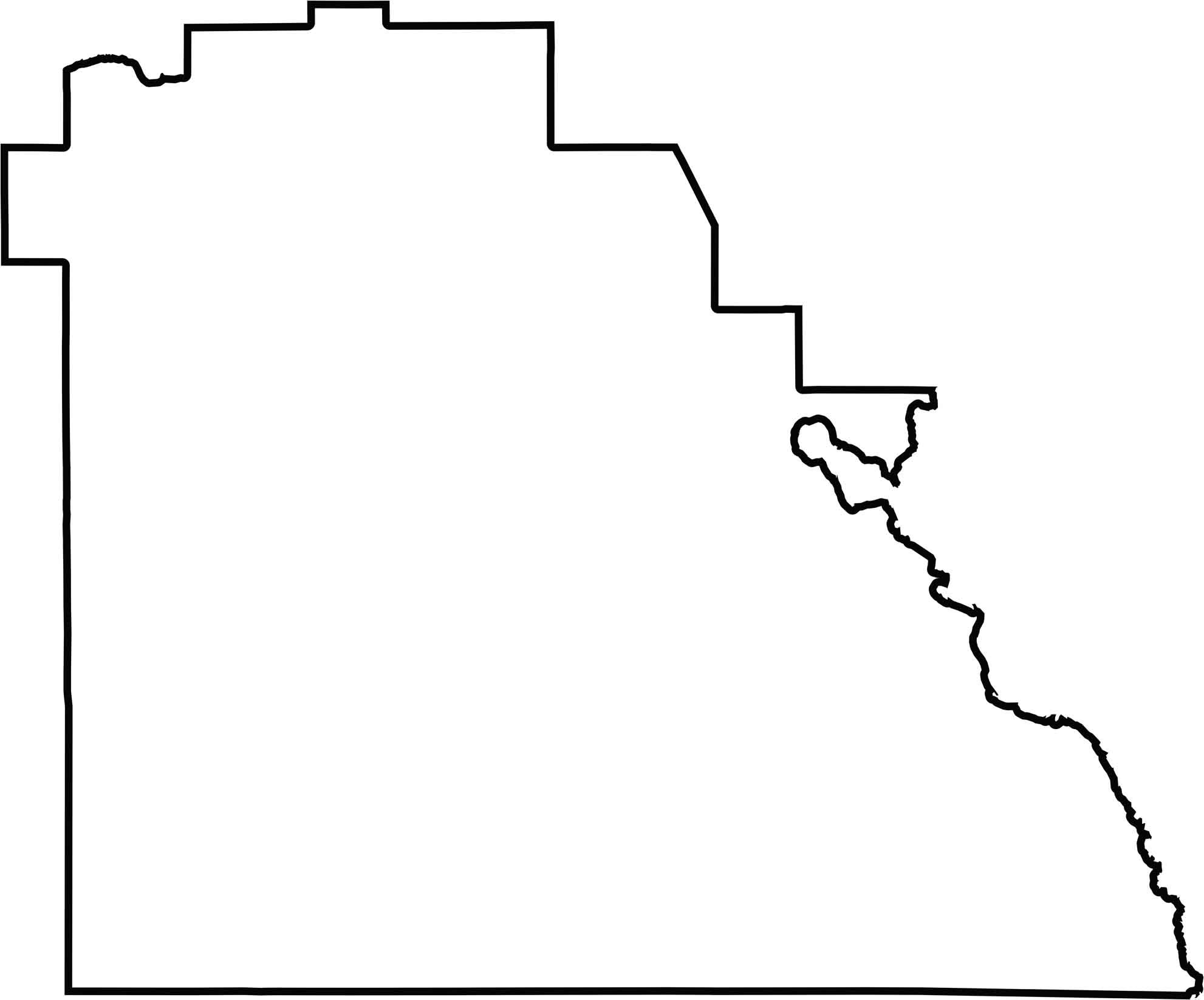
Polk County Blank Map
Polk County is landlocked and roughly square, with slight irregularities caused by historical land divisions. Its boundaries follow early survey lines rather than natural features. The blank map below emphasizes its simple, block-like shape.
Neighboring Counties
Here are the 10 neighboring counties of Polk County:


Florida County Map

Looking to find a county map of Florida? Our Florida county map breaks down its 67 counties. Get to know the Sunshine State with these topographic, satellite, and outline maps.