Webb County Map, Texas

Webb County Map Collection


We allow you to use our Webb County map. Attribution is required.
Webb County, Texas

Webb County is home to Laredo and a whole lot of Texas. It’s one of the largest counties in Texas, actually. You’ll find it down south, right on the Rio Grande.
Laredo, the county seat, is a major port of entry from Mexico. The culture here? Pure Tex-Mex. You can hear it in the music. Taste it in the food. The economy is diverse with international trade, ranching, oil and gas.
The terrain is mostly flat, with some rolling hills. It’s brush country. Tough and hardy, like the people who live here. Webb County is old and new. American and Mexican. It’s a unique corner of Texas. And it’s proud of it.
| Category | Details |
|---|---|
| County Name | Webb County |
| County Seat | Laredo |
| Population | Approximately 320,000 |
| Cities, Towns, and Communities | Laredo, Rio Bravo, El Cenizo, Bruni |
| Interstates and Highways | U.S. Highway 59, U.S. Highway 83, Interstate 35 |
| FIPS Code | 48-479 |
| Total Area (Land and Water) | 3,376 square miles (3,278 sq mi land, 98 sq mi water) |
| Adjacent Counties (and Direction) | Dimmit County (North), La Salle County (North), Duval County (East), Jim Hogg County (Southeast), Zapata County (South), Maverick County (Northwest), McMullen County, Texas (Northeast) |
| Time Zone | Central Time Zone (CST) |
| State | Texas |
| Coordinates | 27°30’N, 99°28’W |
| Etymology | Named after James Webb, who served as secretary of the Treasury |
| Major Landmarks | Lake Casa Blanca, Laredo International Airport |
| Website | Webb County Website |
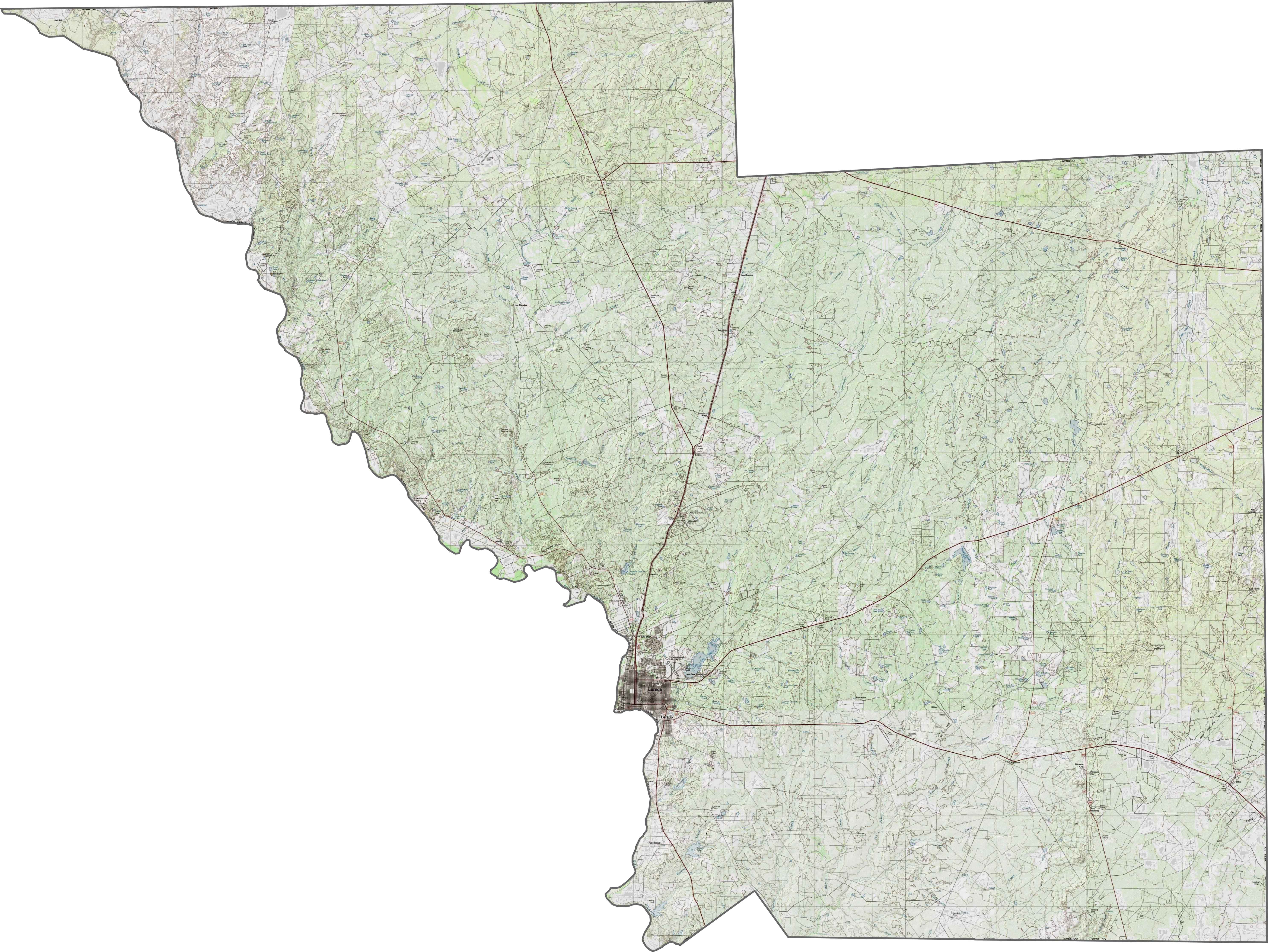
PHYSICAL MAP
Webb County Topographic Map
Webb County lies on the South Texas Brush Country. It’s where flatlands blend with low ridges and dry creek beds. The Rio Grande is the defining feature, flowing along the southern border.
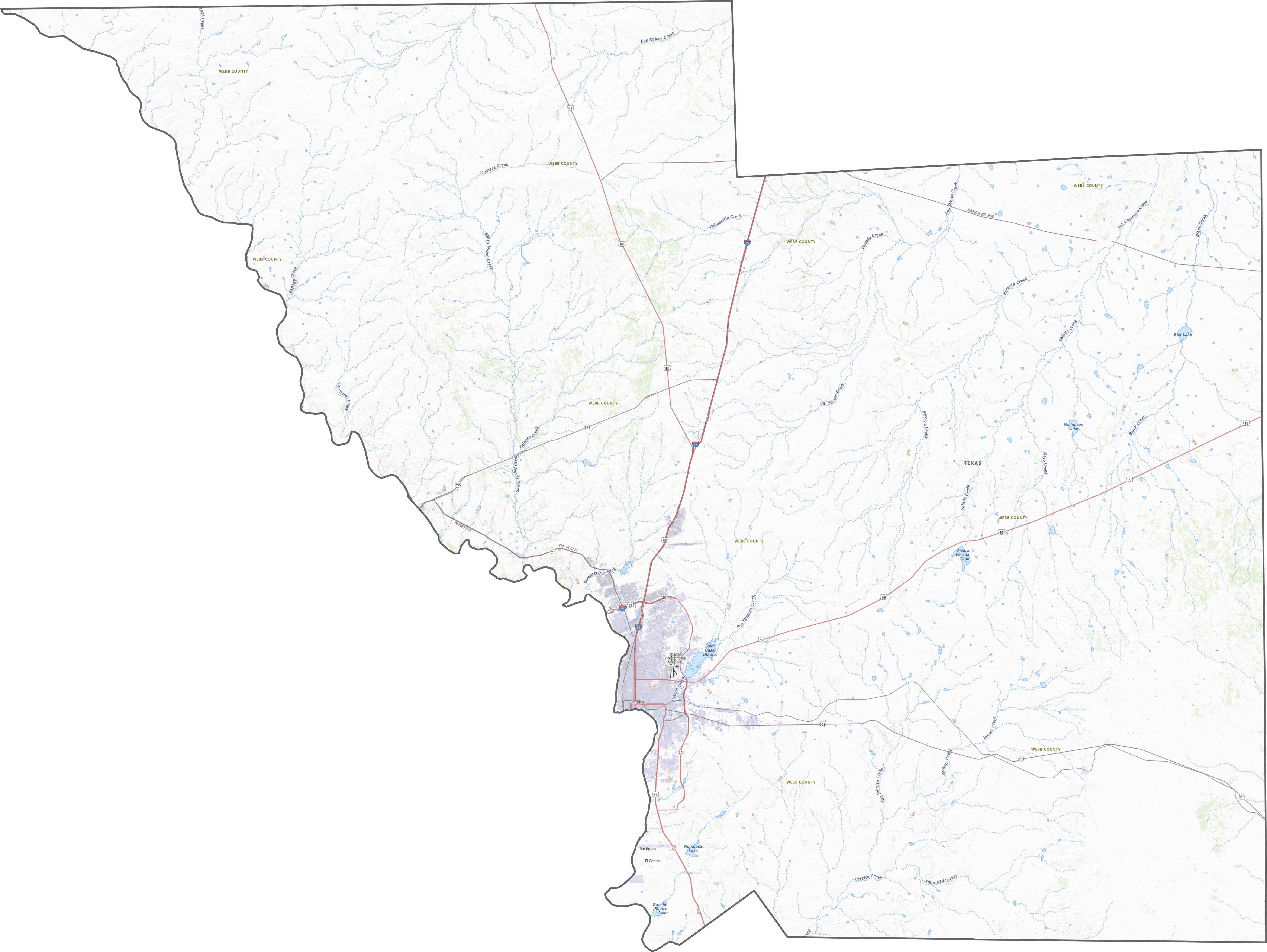
TRANSPORTATION MAP
Webb County Road Map
Roads funnel into Laredo from every direction. International bridges, highways, and railways all meet here. But outside the city, it’s a long, empty stretch to the next major stop. Border traffic mixes with oil trucks and ranch traffic. Our zoom tool helps you explore it all in detail.
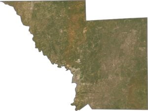
SATELLITE IMAGERY
Webb County Satellite Map
Laredo looks like a dense block of gray. The Rio Grande stands out, curving between city grids and open land. Further north, it’s all brush, dirt roads, and energy infrastructure across the landscape.

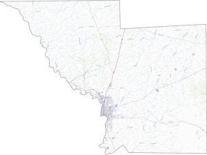
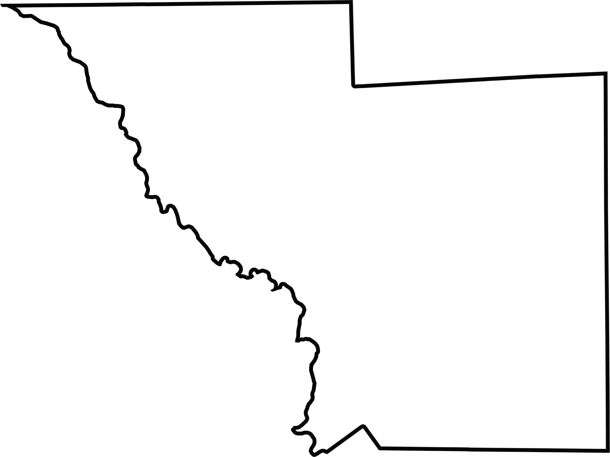
OUTLINE MAP
Webb County Blank Map
Webb County is a massive, blocky county that stretches far north from the Rio Grande. The southern edge follows the river, which also marks the U.S.–Mexico border. No other state borders it. But it touches Mexico directly across the water.
Neighboring Counties
Here are the 7 neighboring counties of Webb County:


Texas County Map

254 legendary Texas county maps. From the Panhandle to the Rio Grande, we’ve got the Lone Star State mapped. That means more rodeos, honky-tonk, and Texas BBQ.