Westmoreland County Map, Pennsylvania

Westmoreland County Map Collection

We allow you to use our Westmoreland County map. Attribution is required.
Westmoreland County, Pennsylvania

Westmoreland County is located just east of Pittsburgh in southwest Pennsylvania. It’s a big one. In fact, it’s the second largest county in Western Pennsylvania by area.
The landscape’s a mix of rolling hills and river valleys. There’s a lot of history here. Fort Ligonier played a key role in the French and Indian War. These days, it’s more about industry and suburbs.
Greensburg is the county seat. The old Pennsylvania turnpike runs right through. You’ve got some great parks, like Laurel Ridge State Park. Arnold Palmer, the golf legend, grew up in Latrobe. The county has a good balance of town and country living.
| Category | Details |
|---|---|
| County Name | Westmoreland County |
| County Seat | Greensburg |
| Population | Approximately 351,000 |
| Cities, Towns, and Communities | Greensburg, Latrobe, Murrysville, Monessen, New Kensington, Jeannette |
| Interstates and Highways | Interstate 70, Interstate 76 (Pennsylvania Turnpike), U.S. Highway 30, U.S. Highway 119 |
| FIPS Code | 42-129 |
| Total Area (Land and Water) | 1,036 square miles (1,028 sq mi land, 8 sq mi water) |
| Adjacent Counties (and Direction) | Armstrong County (North), Indiana County (Northeast), Cambria County (East), Somerset County (Southeast), Fayette County (South), Washington County (Southwest), Allegheny County (West), Butler County (Northwest) |
| Time Zone | Eastern Time Zone (EST) |
| State | Pennsylvania |
| Coordinates | 40°18’N, 79°28’W |
| Etymology | Named after Westmorland, England |
| Major Landmarks | Westmoreland Museum of American Art, Idlewild & SoakZone, Saint Vincent College |
| Website | Westmoreland County Website |
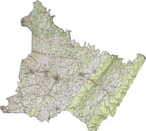
PHYSICAL MAP
Westmoreland County Topographic Map
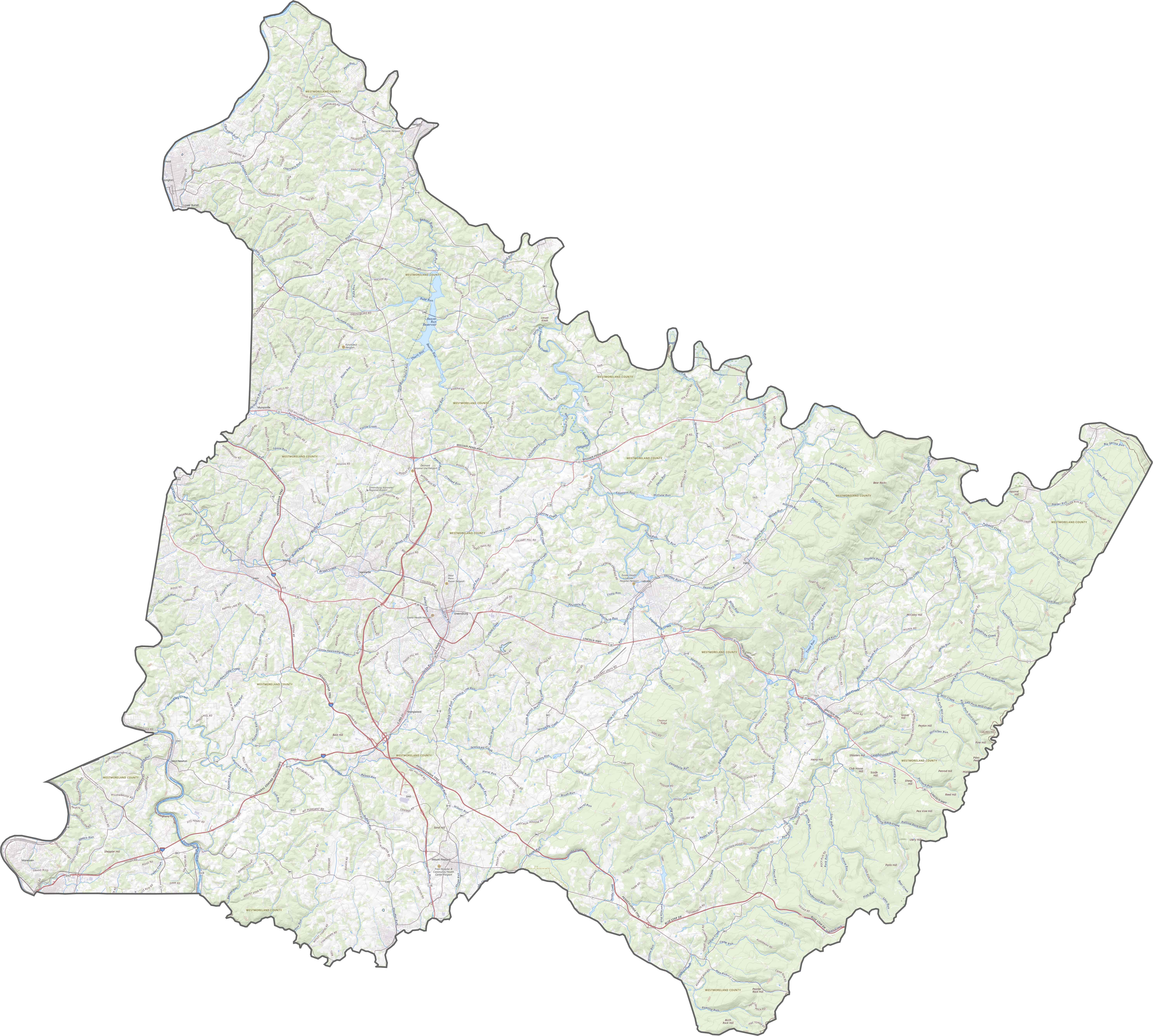
This is classic western Pennsylvania. Westmoreland County has ridges, valleys, and rolling terrain. The land climbs steadily from the west toward the Laurel Highlands in the east. Streams flow through steep cuts, while wide ridges define the skyline.
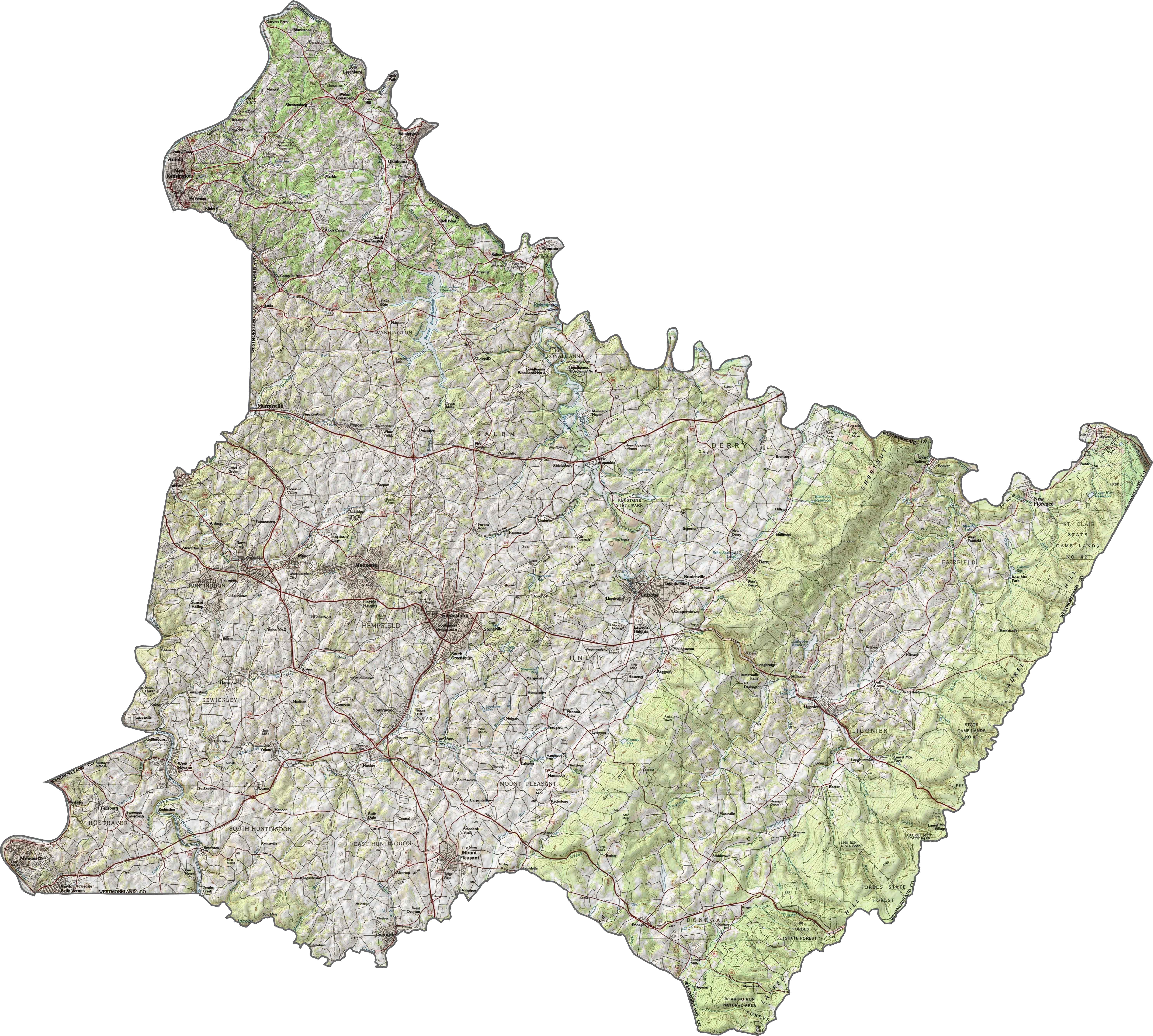
TRANSPORTATION MAP
Westmoreland County Road Map
Some routes in Westmoreland County shoot straight, while others meander with the hills. Roads here often rise and fall with the land. If you want to see where they lead, our zoom tool below is the best place to start.
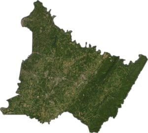
SATELLITE IMAGERY
Westmoreland County Satellite Map
Westmoreland County contains a mix of forest, fields, and development. You’ll notice suburban sprawl in the west and rugged green in the east. Roads snake across the hills, connecting older towns to new developments.

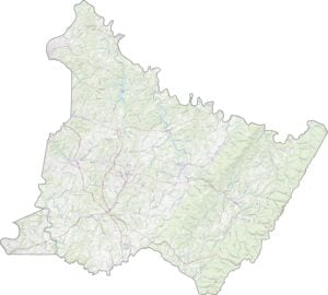
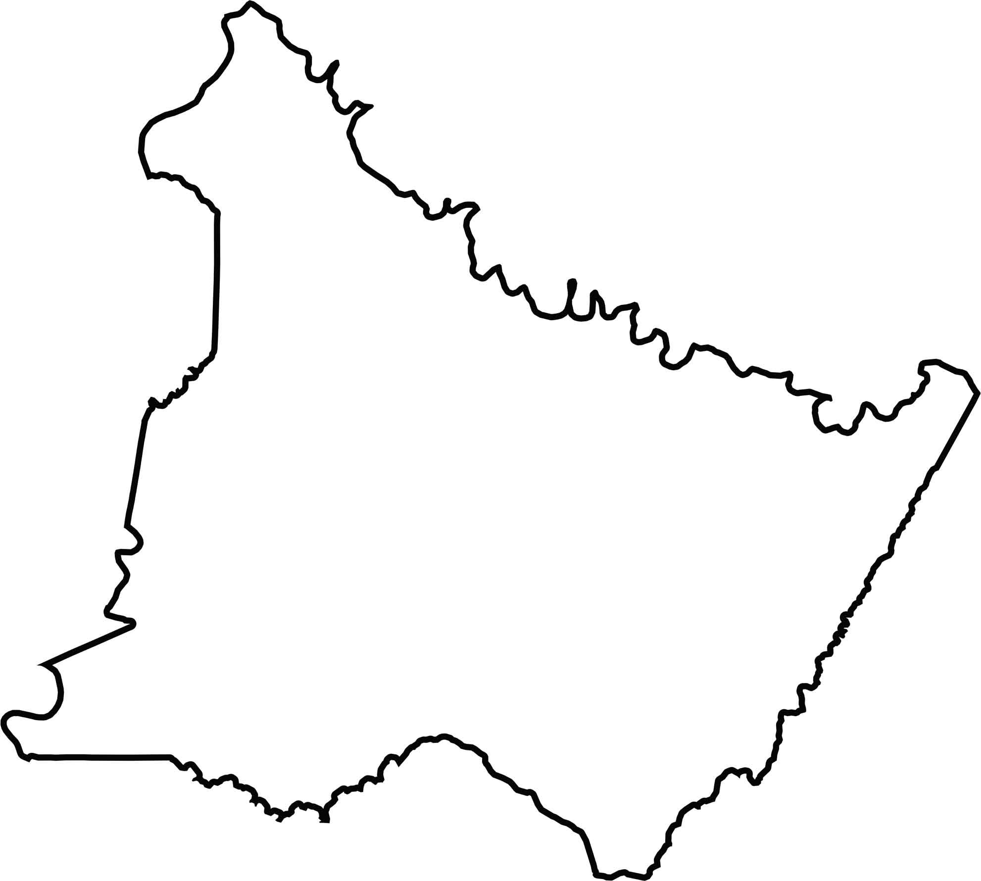
OUTLINE MAP
Westmoreland County Blank Map
Westmoreland’s shape is irregular and curved. While Conemaugh River forms the northern border, Jacobs Creek forms part of the southern border. Situated in the southwest of Pennsylvania, Westmoreland County doesn’t border another state.
Neighboring Counties
Here are the 8 neighboring counties of Westmoreland County:


Pennsylvania County Map

Pennsylvania’s 67 counties contains steel city lights, Amish country backroads, and Pocono mountain escapes. Mileage may vary, but the stories won’t.