Oliver County Map, North Dakota
We allow you to use our Oliver County map. Attribution is required.
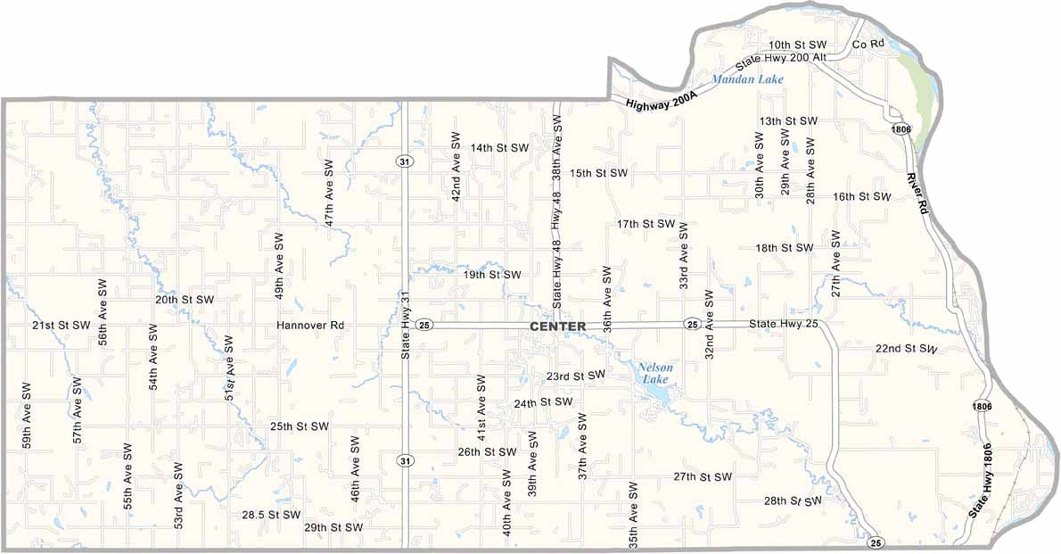
Oliver County, North Dakota

Oliver County is in the middle of North Dakota. The Missouri River forms its eastern border. Center, aptly named, serves as the county seat.
Coal mining has shaped the area’s economy for decades. The landscape is a patchwork of prairies and rugged badlands. Hunting is big here because deer and pheasants are plentiful.
Native American history runs deep in these parts. The county has weathered tough times but always bounces back. Strong, community spirit is. It’s small but mighty.
| Category | Details |
|---|---|
| County Name | Oliver County |
| County Seat | Center |
| Population | Approximately 1,900 |
| Cities, Towns, and Communities | Center, Washburn, Golden Valley |
| Interstates and Highways | North Dakota Highway 25, North Dakota Highway 200 |
| FIPS Code | 38-065 |
| Total Area | 1,092 square miles (land and water) |
| Adjacent Counties | McLean County (Northeast), Burleigh County (East), Morton County (South), Mercer County (Northwest) |
| Time Zone | Central Time Zone |
| State | North Dakota |
| Coordinates | 47.3265° N, 101.2935° W |
| Etymology | Named after Dakota territorial legislator Harry S. Oliver |
| Major Landmarks | Lake Sakakawea, Fort Stevenson State Park |
| Website | Oliver County Website |
North Dakota County Maps
Get to know all the counties in North Dakota with our map collection.


