Taney County Map, Missouri
We allow you to use our Taney County map. Attribution is required.
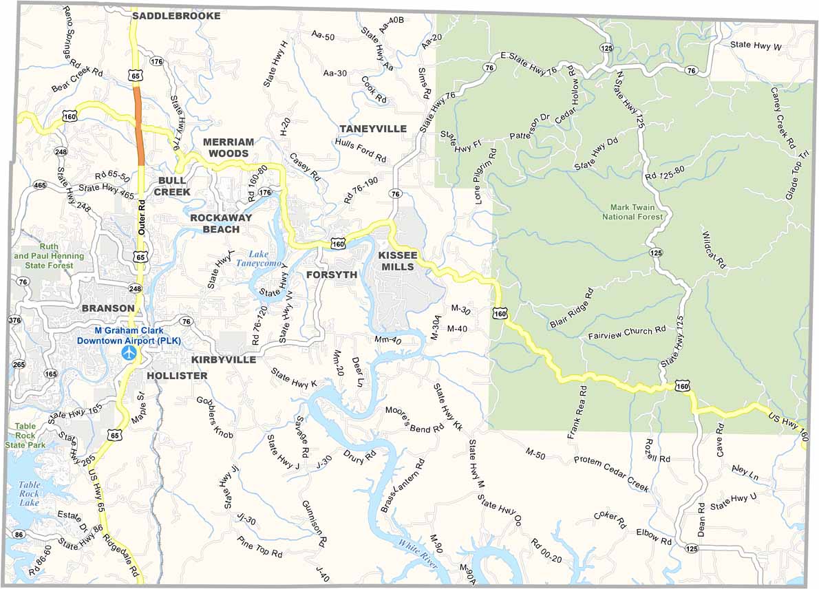
Taney County, Missouri

The Ozarks wouldn’t be the same without Taney County. It’s a piece of southern Missouri that’s equal parts natural beauty and family-friendly fun.
Branson is the county’s claim to fame. It draws in millions of visitors each year with its live shows and attractions. But there’s more to Taney than just bright lights and big stages.
The White River winds its way through the county, creating the massive Table Rock Lake. It’s a fisherman’s dream come true. Forsyth is the county seat and it offers a quieter pace of life away from the tourist hustle.
| Category | Details |
|---|---|
| County Name | Taney County |
| County Seat | Forsyth |
| Population | Approximately 58,000 |
| Cities, Towns, and Communities | Branson, Forsyth, Hollister, Rockaway Beach, Kirbyville, Merriam Woods, Bull Creek |
| Interstates and Highways | US 65, MO 76, MO 86 |
| FIPS Code | 29-213 |
| Total Area (Land and Water) | 652 square miles (Land: 632 sq mi, Water: 20 sq mi) |
| Adjacent Counties (and Direction) | Christian County (North), Douglas County (Northeast), Ozark County (East), Marion County, Arkansas (Southeast), Boone County, Arkansas (South), Carroll County, Arkansas (Southwest), Stone County (West) |
| Time Zone | Central Time Zone (CT) |
| State | Missouri |
| Coordinates | 36.6544° N, 93.0198° W |
| Etymology | Named after Roger B. Taney, the fifth Chief Justice of the United States |
| Major Landmarks | Table Rock Lake, Branson Strip, Silver Dollar City, Taneycomo Lake |
| Website | Taney County Website |
Missouri County Maps
Get to know all the counties in Missouri with our map collection.


